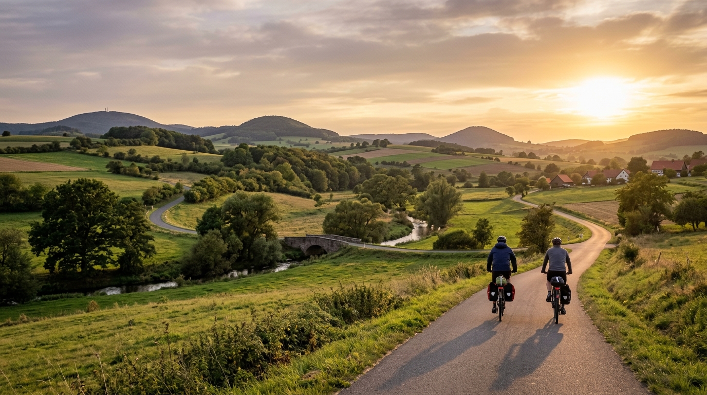
Ulstertal-Radweg
A 58.1 km asphalt point-to-point route with 661 m of climbing, suited to steady endurance pacing rather than climb-focused heroics.
- Afstand
- 58.1km
- Hoogtemeters
- 661m
- Ondergrond
- —
- Vorm
- Punt-naar-punt
De route
Hoogteprofiel
Ulstertal-Radweg cycling route overview
The Ulstertal-Radweg is a 58.1 km point-to-point cycling route in DE, listed with an asphalt surface and 661 m of elevation gain. That combination tells you most of what matters before you roll out: this is not a flat cruise, but it is also not defined by a single major climb. With no notable climbs listed, the difficulty is likely to come from accumulated elevation rather than one obvious test.
That matters for pacing. On a route like this, riders often get into trouble by treating the early rolling terrain as free speed. The total gain is enough to add real load over 58.1 km, especially if the route trends upward in repeated steps rather than through one sustained ascent. The smarter approach is to ride the first half controlled, keep pressure smooth on rises, and avoid burning matches for short accelerations that do not meaningfully change the day.
Terrain and ride character
The asphalt surface makes the Ulstertal-Radweg cycling route better suited to road bikes, endurance bikes, fast hybrids, and loaded touring setups than rough-surface equipment. Tyre choice can stay efficient rather than defensive, although comfort still matters because 58.1 km is long enough for small fit or pressure mistakes to show up late.
The 661 m of elevation gain gives the route a steady endurance profile. It should feel more like a rhythm ride than a pure climbing day. Expect repeated changes in effort: easier sections where cadence can settle, then rises where power drifts up if you are not paying attention. If you ride with a power meter, keep the climbs below threshold unless the goal is a harder workout. If you pace by feel, stay at a pressure you could hold while breathing steadily, then save any harder riding for the final section. For reference, the logic is the same as riding relative to /glossary/ftp: cap the surges early so the route does not become disproportionately hard late.
Practical notes
Because this is not a loop, logistics matter more than they would on a circular ride. Plan the finish before starting: return transport, a pickup, or enough time and energy to ride back by another route if that is part of the day. A point-to-point ride also makes wind direction more consequential, since you do not automatically balance it out on the return leg.
For fueling, treat the distance and elevation as a proper endurance ride. Start eating before fatigue appears, not after. The climbing total is high enough that late-route underfueling will show first on rises, where cadence drops and every small gradient feels heavier than it should.
Who it suits
This route fits riders looking for a paved endurance outing with meaningful elevation but without a headline climb. It is a good choice for building aerobic durability, testing steady pacing, or riding a scenic-style point-to-point day where the challenge comes from consistency. The key is respecting the accumulation: 661 m over 58.1 km is not extreme, but it is enough to reward disciplined riding and punish an over-eager start.
Vergelijkbare routes
3-Länder-Radweg
A 302.2 km asphalt route in Germany with 1512 m of climbing and point-to-point logistics shaped by the Reußenkreuz climb.
7 Peaks Alpine Challenge
A 110.9 km point-to-point assault through the Victorian Alps, stacking 3404 metres of climbing across relentless, wind-swept high-country ascents.
Aberdare Range
A 46 km asphalt point-to-point through Kenya's Central Highlands that trades big climbs for a relentless 1,700 m of rolling grind.
Abra Málaga
A 45-kilometer point-to-point ribbon of asphalt through Peru's Sacred Valley, climbing 1,699 relentless meters into the high Andes.
Afriski Mahlasela Pass
A 112.8 km asphalt ascent through the Maloti Mountains, climbing 3,384 m to the roof of southern Africa via the storied Mahlasela Pass.
Ahr Cycleway
An 82.9 km asphalt point-to-point route with 541 m of gain, the Ahr Cycleway is a steady endurance ride rather than a climb-focused day.