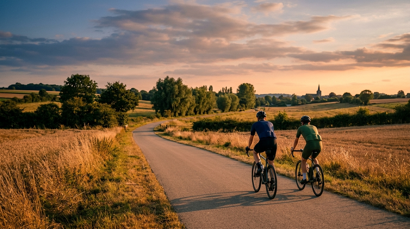
Regional Cycling Route the Maelbeek
A 32.9 km asphalt point-to-point route in BE with 155 m of climbing and no notable climbs, suited to controlled endurance riding.
- Afstand
- 32.9km
- Hoogtemeters
- 155m
- Ondergrond
- —
- Vorm
- Punt-naar-punt
De route
Hoogteprofiel
Regional Cycling Route the Maelbeek cycling route
The Regional Cycling Route the Maelbeek cycling route is a 32.9 km asphalt ride in BE with 155 m of elevation gain. The defining feature is not a single decisive climb, but the absence of one. With no notable climbs listed, the route should ride as a steady, low-drama effort where pacing, momentum, and route execution matter more than climbing survival.
That makes the route useful in two different ways. For endurance riders, it is long enough to settle into a real aerobic rhythm without being shaped by major elevation changes. For fitter riders, the modest climbing profile makes it a good controlled tempo route, because the terrain is less likely to force repeated spikes above threshold. If you are using it for training, think less about saving everything for a summit and more about holding an even pressure across the full distance. A power target based on /glossary/ftp will be easier to manage here than on a route with major climbs.
Terrain and ride feel
The surface is asphalt, so the route is best approached as a road or all-road ride rather than a gravel outing. The total elevation gain of 155 m over 32.9 km points to a route where changes in gradient are present but not central to the day. Expect the effort to come from maintaining speed, staying smooth through transitions, and avoiding unnecessary accelerations rather than grinding over sustained climbs.
Because the route is not a loop, the logistics matter more than the climbing. A point-to-point ride changes how you plan the day: check your start and finish, decide whether you are riding back, arranging transport, or linking it into a longer route, and make sure your navigation is loaded before you roll.
Practical notes
- Surface: asphalt, so standard road tyres are the natural default.
- Distance: 32.9 km, making it a manageable standalone ride or a useful segment inside a longer training day.
- Elevation: 155 m of gain, with no notable climbs listed.
- Format: not a loop, so plan the finish logistics before starting.
How to ride it
The smartest approach is controlled and economical. Keep the opening section restrained, avoid chasing every small rise, and let the low climbing load work in your favour. On a route like this, the rider who keeps the effort even will usually finish fresher than the rider who treats every change in terrain as an invitation to surge.
Vergelijkbare routes
3-Länder-Radweg
A 302.2 km asphalt route in Germany with 1512 m of climbing and point-to-point logistics shaped by the Reußenkreuz climb.
7 Peaks Alpine Challenge
A 110.9 km point-to-point assault through the Victorian Alps, stacking 3404 metres of climbing across relentless, wind-swept high-country ascents.
Aberdare Range
A 46 km asphalt point-to-point through Kenya's Central Highlands that trades big climbs for a relentless 1,700 m of rolling grind.
Abra Málaga
A 45-kilometer point-to-point ribbon of asphalt through Peru's Sacred Valley, climbing 1,699 relentless meters into the high Andes.
Afriski Mahlasela Pass
A 112.8 km asphalt ascent through the Maloti Mountains, climbing 3,384 m to the roof of southern Africa via the storied Mahlasela Pass.
Ahr Cycleway
An 82.9 km asphalt point-to-point route with 541 m of gain, the Ahr Cycleway is a steady endurance ride rather than a climb-focused day.