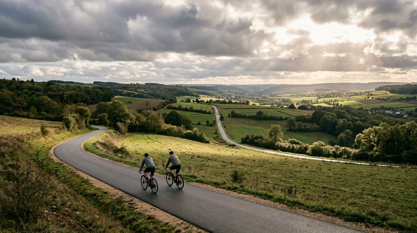
PC17 Cycle Route
A short asphalt point-to-point route with enough elevation gain to reward steady pacing rather than stop-start efforts.
- Afstand
- 18.6km
- Hoogtemeters
- 287m
- Ondergrond
- —
- Vorm
- Punt-naar-punt
De route
Hoogteprofiel
PC17 Cycle Route cycling route overview
The PC17 Cycle Route is a compact point-to-point ride on asphalt, covering 18.6 km with 287 m of elevation gain. That combination gives it a clear character: short enough to ride without turning it into a major endurance day, but not so flat that pacing becomes irrelevant.
With no notable climbs listed, the route should be read less as a climb-focused objective and more as a rolling effort. The elevation gain is spread across the ride rather than defined by a single named ascent, which usually makes the effort feel more variable. Instead of settling into one long climb rhythm, expect the ride to reward smooth transitions, controlled pressure over rises, and restraint early on.
Terrain and ride feel
The asphalt surface points toward a road-oriented ride. A road bike or fast all-road setup makes sense, assuming normal conditions. Because the route is not a loop, the main practical decision is logistics. You either need a point-to-point plan, a return option, or the willingness to turn it into an out-and-back ride.
The distance makes the PC17 manageable, but the elevation gain prevents it from being a pure recovery spin if ridden hard. This is the kind of route where average speed can be misleading. A rider who surges over every rise will pay for it quickly, while a rider who keeps the effort close to sustainable tempo will likely finish stronger.
How to pace it
Treat the opening section with discipline. On a route this short, it is tempting to ride every ramp like a test, but the smarter approach is to keep the effort even and let the terrain come to you. If you are using power, anchor the ride around a controlled aerobic or tempo range rather than chasing speed on each change in gradient. For reference, see /glossary/ftp if you use threshold-based zones.
Because there are no listed notable climbs, the key limiter is repeated elevation rather than one decisive ascent. That makes cadence management useful. Stay light over rises, avoid grinding unnecessarily, and use the easier sections to keep momentum rather than fully coasting.
Practical notes
- Surface: asphalt.
- Format: point-to-point, not a loop.
- Distance: 18.6 km.
- Elevation gain: 287 m.
- Best use: a short structured ride, a controlled endurance extension, or a rolling tempo session.
The PC17 Cycle Route is best understood as a concise, rolling asphalt route where the challenge comes from managing effort across changing terrain. It is not defined by a headline climb, which makes execution more important than bravado.
Vergelijkbare routes
3-Länder-Radweg
A 302.2 km asphalt route in Germany with 1512 m of climbing and point-to-point logistics shaped by the Reußenkreuz climb.
7 Peaks Alpine Challenge
A 110.9 km point-to-point assault through the Victorian Alps, stacking 3404 metres of climbing across relentless, wind-swept high-country ascents.
Aberdare Range
A 46 km asphalt point-to-point through Kenya's Central Highlands that trades big climbs for a relentless 1,700 m of rolling grind.
Abra Málaga
A 45-kilometer point-to-point ribbon of asphalt through Peru's Sacred Valley, climbing 1,699 relentless meters into the high Andes.
Afriski Mahlasela Pass
A 112.8 km asphalt ascent through the Maloti Mountains, climbing 3,384 m to the roof of southern Africa via the storied Mahlasela Pass.
Ahr Cycleway
An 82.9 km asphalt point-to-point route with 541 m of gain, the Ahr Cycleway is a steady endurance ride rather than a climb-focused day.