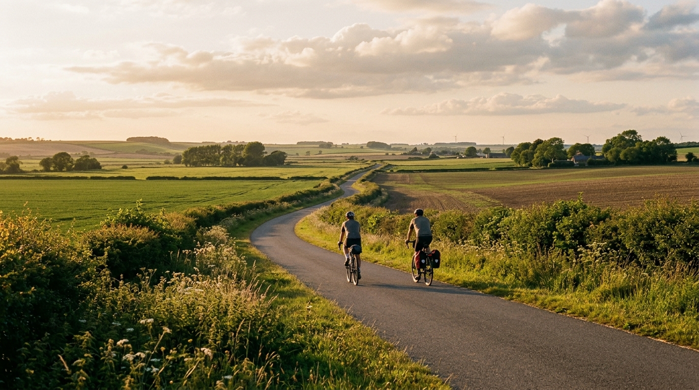
National Cycle Route 647
A practical guide to National Cycle Route 647, a 32 km asphalt point-to-point route with 139 m of elevation gain.
- Afstand
- 32km
- Hoogtemeters
- 139m
- Ondergrond
- —
- Vorm
- Punt-naar-punt
De route
Hoogteprofiel
National Cycle Route 647 cycling route overview
National Cycle Route 647 is a 32 km asphalt route in GB with 139 m of elevation gain. The key feature is not a major climb or a selective vertical profile, but the way that modest elevation and a sealed surface combine to make this a controlled, tempo-friendly ride.
Because the route is not a loop, the main planning variable is logistics. This is a point-to-point ride, so the effort does not naturally return you to the start. That matters more than it sounds: pacing can be straightforward, but the day still needs a clear plan for getting back, continuing onward, or arranging transport at the finish.
Terrain and ride character
With 139 m of gain over 32 km and no notable climbs listed, National Cycle Route 647 should be approached as a route where rhythm matters more than climbing ability. The elevation profile suggests rolling or gently varied terrain rather than a route built around sustained ascents. That usually changes the way the ride feels: instead of waiting for a decisive climb, the challenge is keeping the pedals turning smoothly, managing small changes in gradient, and avoiding unnecessary surges.
The asphalt surface is a useful detail. It points toward a ride that suits a road bike, endurance bike, or fast all-road setup rather than something chosen for rough-surface handling. Tyre choice can therefore lean toward efficiency and comfort rather than protection-first decision making, assuming normal local conditions on the day.
For riders using the route as training, this profile fits steady aerobic work well. The distance is long enough to settle into a consistent effort, while the limited elevation gain reduces the likelihood that the ride becomes dominated by repeated high-torque climbing. If you are riding to power, this is the sort of route where keeping effort smooth is likely more valuable than chasing every small rise. See /glossary/ftp if you use threshold-based pacing.
Practical notes
Pacing
Treat the opening section with restraint. On a route without a listed major climb, it is easy to over-ride early because nothing looks intimidating on paper. The smarter approach is to hold a sustainable pressure and let the route come to you.
Equipment
The asphalt surface keeps the setup simple. Prioritise reliable tyres, normal road gearing, and enough carrying capacity for the ride duration and return logistics.
Route planning
The non-loop format is the detail most likely to affect the day. Before starting, decide whether the ride ends with a return ride, onward travel, or a separate pickup. The route stats make the riding demand look manageable, but the point-to-point design is what needs attention before rollout.
Vergelijkbare routes
3-Länder-Radweg
A 302.2 km asphalt route in Germany with 1512 m of climbing and point-to-point logistics shaped by the Reußenkreuz climb.
7 Peaks Alpine Challenge
A 110.9 km point-to-point assault through the Victorian Alps, stacking 3404 metres of climbing across relentless, wind-swept high-country ascents.
Aberdare Range
A 46 km asphalt point-to-point through Kenya's Central Highlands that trades big climbs for a relentless 1,700 m of rolling grind.
Abra Málaga
A 45-kilometer point-to-point ribbon of asphalt through Peru's Sacred Valley, climbing 1,699 relentless meters into the high Andes.
Afriski Mahlasela Pass
A 112.8 km asphalt ascent through the Maloti Mountains, climbing 3,384 m to the roof of southern Africa via the storied Mahlasela Pass.
Ahr Cycleway
An 82.9 km asphalt point-to-point route with 541 m of gain, the Ahr Cycleway is a steady endurance ride rather than a climb-focused day.