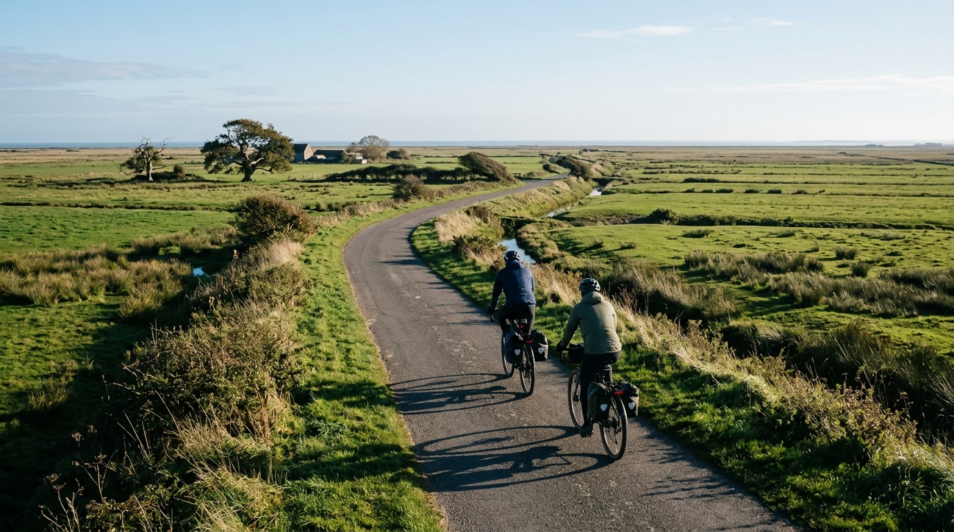
National Cycle Route 141
A short, asphalt, point-to-point route in GB with almost no climbing. Expect a controlled ride where pacing, flow, and logistics matter more than elevation.
- Afstand
- 10.8km
- Hoogtemeters
- 13m
- Ondergrond
- —
- Vorm
- Punt-naar-punt
De route
Hoogteprofiel
Route character
National Cycle Route 141 is a short, asphalt cycling route in GB, covering 10.8 km with 13 m of elevation gain. That profile tells you most of what matters: this is not a ride defined by climbing, repeated accelerations over terrain, or the need to manage a long endurance effort. It is a compact point-to-point route where the main challenge is likely to be holding a clean rhythm rather than surviving the gradient.
With no notable climbs listed, the route sits firmly in the flat-route category. For a rider looking at it through a training lens, that makes it useful in a different way from a hilly loop. There is little terrain-enforced recovery and little terrain-enforced intensity. If the surface and conditions allow, the effort is mostly rider-controlled, which can make it a good option for steady endurance, aerobic tempo, or a short skills-focused spin rather than a climbing session.
Terrain and pacing
The asphalt surface should make the route feel more predictable than mixed-surface alternatives. On a route this short, the small total elevation gain means pacing errors are less likely to come from overcooking a climb and more likely to come from riding too hard early simply because the road does not force restraint.
That matters if you are using the National Cycle Route 141 cycling route as part of a structured day. A flat 10.8 km point-to-point segment can slot neatly into a warm-up, a recovery ride, or a controlled aerobic block, but it is not the kind of route where the terrain naturally creates a varied interval session. If you want intensity, you will need to add it deliberately, using power, heart rate, or perceived exertion rather than waiting for the road to decide. For reference, riders working from power targets can anchor the effort to /glossary/ftp rather than chasing speed.
Practical notes
Because the route is not a loop, logistics matter more than the distance suggests. Plan how you will return, continue onward, or turn the ride into an out-and-back. Doubling back would change the character from a short point-to-point transfer into a longer repeated route, but the underlying terrain remains very flat.
The key takeaway is simple: expect a short, asphalt, low-elevation route. National Cycle Route 141 is best read as a controlled connector or compact ride option rather than a destination climb or endurance test. Its value is in its simplicity - flat terrain, predictable surface, and a distance that makes the ride easy to position within a broader training day.
Vergelijkbare routes
3-Länder-Radweg
A 302.2 km asphalt route in Germany with 1512 m of climbing and point-to-point logistics shaped by the Reußenkreuz climb.
7 Peaks Alpine Challenge
A 110.9 km point-to-point assault through the Victorian Alps, stacking 3404 metres of climbing across relentless, wind-swept high-country ascents.
Aberdare Range
A 46 km asphalt point-to-point through Kenya's Central Highlands that trades big climbs for a relentless 1,700 m of rolling grind.
Abra Málaga
A 45-kilometer point-to-point ribbon of asphalt through Peru's Sacred Valley, climbing 1,699 relentless meters into the high Andes.
Afriski Mahlasela Pass
A 112.8 km asphalt ascent through the Maloti Mountains, climbing 3,384 m to the roof of southern Africa via the storied Mahlasela Pass.
Ahr Cycleway
An 82.9 km asphalt point-to-point route with 541 m of gain, the Ahr Cycleway is a steady endurance ride rather than a climb-focused day.