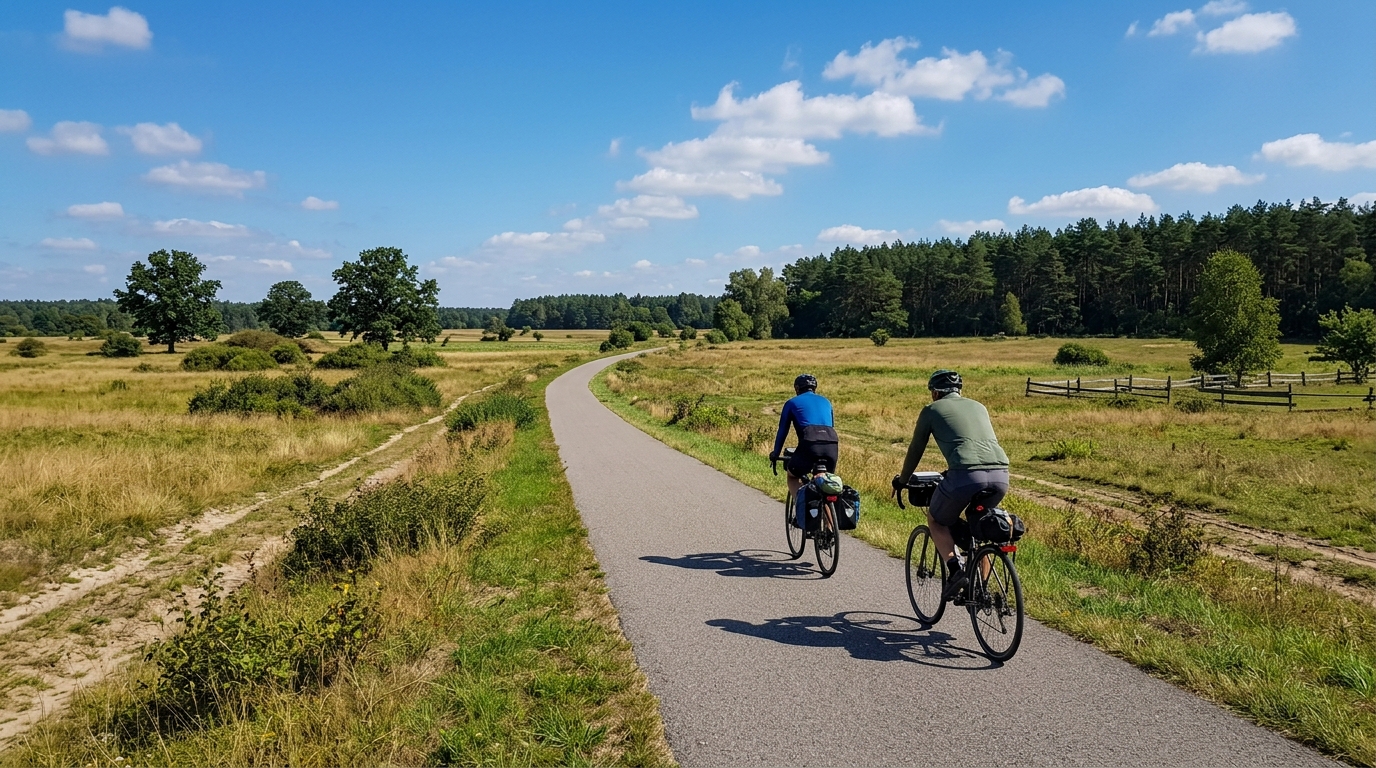
Green Velo Connector 206
A short asphalt connector in Poland with modest elevation gain, best treated as a point-to-point link rather than a standalone climbing ride.
- Afstand
- 15.5km
- Hoogtemeters
- 60m
- Ondergrond
- —
- Vorm
- Punt-naar-punt
De route
Hoogteprofiel
Green Velo Connector 206 cycling route overview
Green Velo Connector 206 is a short, asphalt point-to-point cycling route in Poland. At 15.5 km with 60 m of elevation gain, its character is defined less by sustained climbing and more by simple forward momentum. This is not a route built around a decisive ascent, and the available route data lists no notable climbs.
That matters for pacing. With such a modest elevation load, the ride is unlikely to force big changes in effort unless conditions on the day dictate them. The smarter approach is to keep the pressure steady rather than riding it like an interval session. If you are using it inside a longer endurance day, it should function cleanly as a connector rather than a major physiological stress point.
Terrain and ride feel
The asphalt surface makes the route straightforward from an equipment perspective. A road bike or endurance setup is the natural fit, especially if the goal is to maintain a smooth tempo across the full distance. The limited elevation gain means gear choice is unlikely to be the defining factor, but efficient pacing still matters if this segment sits between harder sections of a longer ride.
Because the route is not a loop, the biggest practical consideration is logistics. Treat it as a link between two points, not as a self-contained circuit. That affects how you plan your start, finish, return, and any connection to other Green Velo segments.
How to ride it
For most riders, Green Velo Connector 206 is best ridden at an endurance or steady tempo effort. There is not enough climbing in the route profile to justify saving everything for a summit, and the absence of listed notable climbs means the route rewards consistency more than punch.
Practical notes:
- Plan transport or onward routing, since this is a point-to-point route.
- Expect asphalt throughout based on the route data.
- Do not structure the ride around a major climb, as none are listed.
- Use it as a connector, warm-up, cool-down, or controlled endurance segment within a longer day.
If you are tracking effort, this is the type of route where staying disciplined against your /glossary/ftp can be more useful than chasing short spikes. The profile gives you room to ride smoothly, which is often exactly what a connector should do.
Vergelijkbare routes
3-Länder-Radweg
A 302.2 km asphalt route in Germany with 1512 m of climbing and point-to-point logistics shaped by the Reußenkreuz climb.
7 Peaks Alpine Challenge
A 110.9 km point-to-point assault through the Victorian Alps, stacking 3404 metres of climbing across relentless, wind-swept high-country ascents.
Aberdare Range
A 46 km asphalt point-to-point through Kenya's Central Highlands that trades big climbs for a relentless 1,700 m of rolling grind.
Abra Málaga
A 45-kilometer point-to-point ribbon of asphalt through Peru's Sacred Valley, climbing 1,699 relentless meters into the high Andes.
Afriski Mahlasela Pass
A 112.8 km asphalt ascent through the Maloti Mountains, climbing 3,384 m to the roof of southern Africa via the storied Mahlasela Pass.
Ahr Cycleway
An 82.9 km asphalt point-to-point route with 541 m of gain, the Ahr Cycleway is a steady endurance ride rather than a climb-focused day.