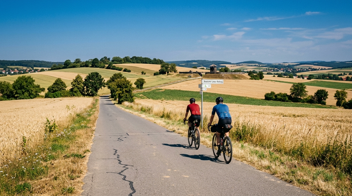
Deutscher Limes-Radweg
A 93.3 km asphalt point-to-point ride in Germany with 528 m of climbing and a steady endurance character.
- Afstand
- 93.3km
- Hoogtemeters
- 528m
- Ondergrond
- —
- Vorm
- Punt-naar-punt
De route
Hoogteprofiel
Deutscher Limes-Radweg cycling route overview
The Deutscher Limes-Radweg cycling route is a 93.3 km point-to-point ride in Germany on asphalt, with 528 m of elevation gain. On paper, that gives it a clear endurance-road character: long enough to require pacing and fueling discipline, but not defined by a single major climbing objective.
The key detail is the relationship between distance and elevation. Over 93.3 km, 528 m of climbing is enough to keep the ride from feeling flat, but it does not suggest a route built around sustained mountain efforts. With no notable climbs listed, the more likely demand is repeatability: settling into a controlled rhythm, absorbing rises without spiking effort, and keeping speed stable across the full distance.
Terrain and ride feel
Because the route is listed as asphalt, the equipment choice is straightforward. A road bike or fast endurance setup makes sense, with tyres chosen more for comfort and reliability than rough-surface security. The surface note also matters tactically: on asphalt, small changes in pacing and position show up quickly. Riders who stay smooth over the rolling parts will usually finish fresher than those who chase every slight rise.
The point-to-point format is the other defining feature. This is not a loop where logistics solve themselves. Start and finish planning should be part of the ride, not an afterthought. Transport, pickup, or a return route need to be arranged before committing, especially if riding the full 93.3 km in one go.
How to pace it
Treat the first part conservatively. The total climbing is moderate, but the distance is substantial enough that early over-efforts will compound. A good approach is to ride the opening section below threshold, keep climbs or rises seated where possible, and avoid turning the route into a sequence of short anaerobic efforts.
For riders using power, this is the kind of course where staying close to endurance or tempo intensity will be more productive than chasing surges. If you need a reference point, use your current /glossary/ftp and keep the ride controlled rather than trying to win individual ramps.
Practical notes
- Route type: point-to-point, not a loop.
- Surface: asphalt, suitable for road-oriented setups.
- Distance: 93.3 km, so plan food, fluids, and timing as a proper endurance ride.
- Elevation gain: 528 m, enough to influence pacing but not enough to make climbing the sole focus.
- No notable climbs are listed, so expect the challenge to come from accumulation rather than one headline ascent.
The simplest way to ride it well is to respect the distance, stay disciplined over the elevation, and solve the point-to-point logistics before the first pedal stroke.
Vergelijkbare routes
3-Länder-Radweg
A 302.2 km asphalt route in Germany with 1512 m of climbing and point-to-point logistics shaped by the Reußenkreuz climb.
7 Peaks Alpine Challenge
A 110.9 km point-to-point assault through the Victorian Alps, stacking 3404 metres of climbing across relentless, wind-swept high-country ascents.
Aberdare Range
A 46 km asphalt point-to-point through Kenya's Central Highlands that trades big climbs for a relentless 1,700 m of rolling grind.
Abra Málaga
A 45-kilometer point-to-point ribbon of asphalt through Peru's Sacred Valley, climbing 1,699 relentless meters into the high Andes.
Afriski Mahlasela Pass
A 112.8 km asphalt ascent through the Maloti Mountains, climbing 3,384 m to the roof of southern Africa via the storied Mahlasela Pass.
Ahr Cycleway
An 82.9 km asphalt point-to-point route with 541 m of gain, the Ahr Cycleway is a steady endurance ride rather than a climb-focused day.