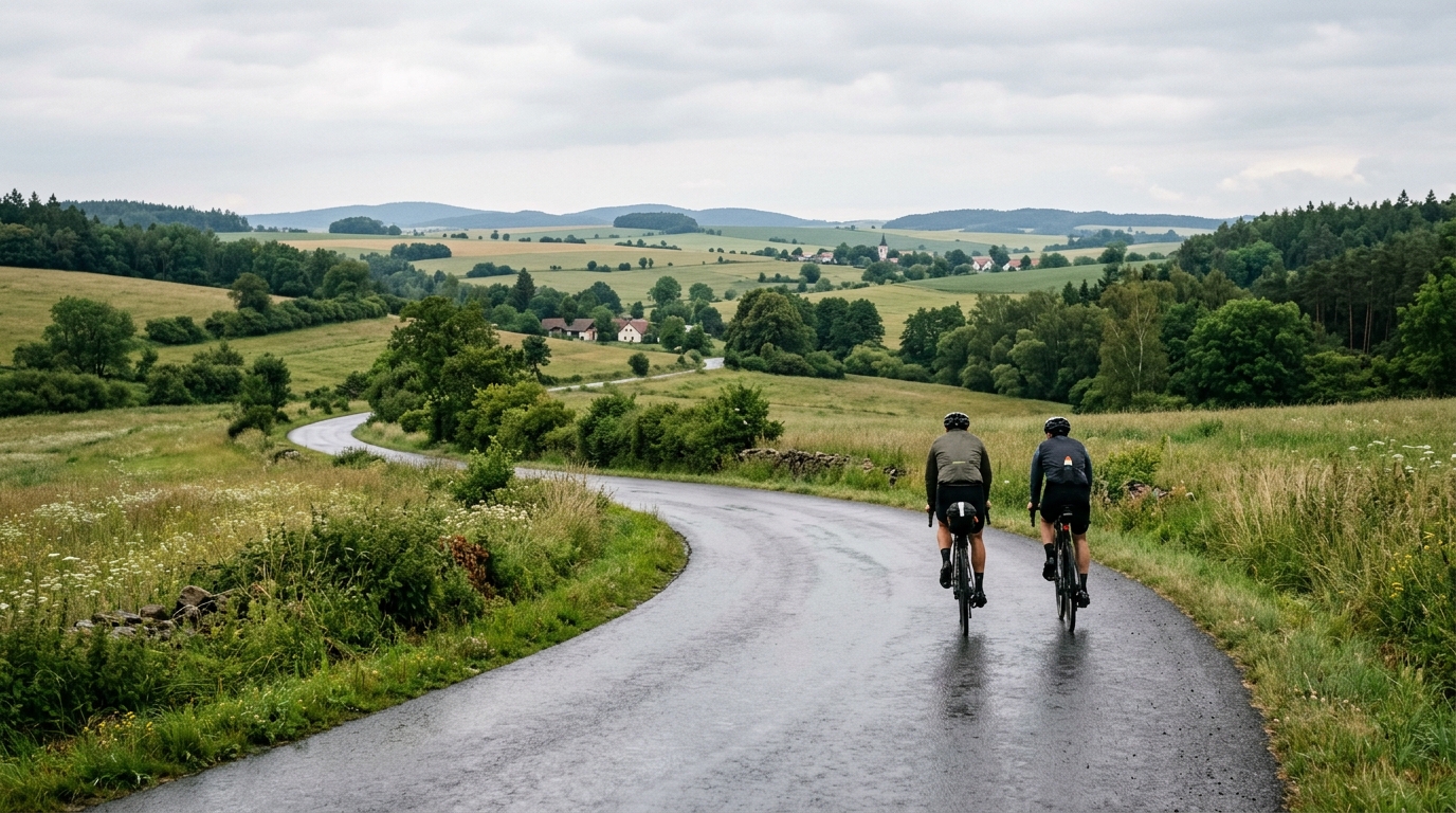
Cycling route 551
A 43.2 km asphalt point-to-point in CZ with 600 m of climbing, best treated as a rolling endurance ride rather than a summit-focused route.
- Afstand
- 43.2km
- Hoogtemeters
- 600m
- Ondergrond
- —
- Vorm
- Punt-naar-punt
De route
Hoogteprofiel
Cycling route 551 cycling route overview
Cycling route 551 is a 43.2 km asphalt route in CZ with 600 m of elevation gain. The important detail is not just the climbing total, but how it is likely to shape the ride. With no notable climbs listed, this is not a route built around one decisive ascent. It reads more like rolling terrain, where the work accumulates through repeated rises rather than a single obvious test.
Because the route is not a loop, logistics matter. Treat it as a point-to-point ride: plan transport, a return option, or a continuation before starting. That matters more than it would on a circuit, because pacing too hard early can leave you managing fatigue without an easy shortcut back to the start.
Terrain and ride character
The asphalt surface makes this a straightforward road-bike route from an equipment perspective. The climbing total is enough to make the ride feel selective, especially if ridden at tempo, but the absence of listed notable climbs suggests the difficulty comes from rhythm changes rather than sustained mountain-style pacing.
That usually rewards a controlled effort. Rather than chasing every rise, settle into a sustainable endurance pace and let the terrain come to you. If you ride by power, keep the climbs below threshold unless the goal is a harder workout. For reference, see /glossary/ftp if you use threshold to anchor pacing.
How to pace it
This is a route where small decisions compound. A short rise taken too aggressively may not feel costly at the time, but repeated efforts across 43.2 km can turn the final section into a grind. The smarter approach is to keep pressure on the pedals without repeatedly spiking the effort.
Practical pacing notes:
- Start conservatively until the pattern of the road is clear.
- Use the asphalt surface to stay smooth and efficient between rises.
- Eat and drink early enough that the 600 m of gain does not become a late-ride limiter.
- Save harder efforts for the second half if riding it as a workout.
Practical notes
With 43.2 km of distance, this can sit well as a steady endurance ride, a controlled tempo session, or part of a longer day if connected to other roads. The key is respecting the combination of moderate distance and meaningful elevation gain. It is not an extreme climbing route, but it is not flat transport either.
Cycling route 551 is best approached as a rolling point-to-point asphalt ride: simple on paper, but demanding enough to reward good pacing and clean ride planning.
Vergelijkbare routes
3-Länder-Radweg
A 302.2 km asphalt route in Germany with 1512 m of climbing and point-to-point logistics shaped by the Reußenkreuz climb.
7 Peaks Alpine Challenge
A 110.9 km point-to-point assault through the Victorian Alps, stacking 3404 metres of climbing across relentless, wind-swept high-country ascents.
Aberdare Range
A 46 km asphalt point-to-point through Kenya's Central Highlands that trades big climbs for a relentless 1,700 m of rolling grind.
Abra Málaga
A 45-kilometer point-to-point ribbon of asphalt through Peru's Sacred Valley, climbing 1,699 relentless meters into the high Andes.
Afriski Mahlasela Pass
A 112.8 km asphalt ascent through the Maloti Mountains, climbing 3,384 m to the roof of southern Africa via the storied Mahlasela Pass.
Ahr Cycleway
An 82.9 km asphalt point-to-point route with 541 m of gain, the Ahr Cycleway is a steady endurance ride rather than a climb-focused day.