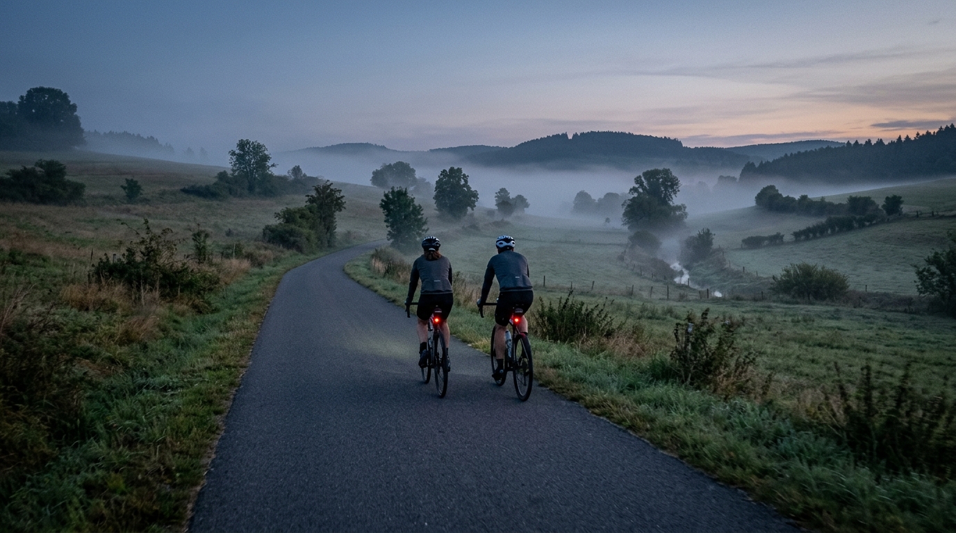
Rosatalradweg
A 21.8 km asphalt point-to-point ride in Germany with 210 m gain, best approached as a smooth, controlled route rather than a climb-focused day.
- Distance
- 21.8km
- Dénivelé
- 210m
- Revêtement
- —
- Forme
- Point à point
L'itinéraire
Profil d'altitude
Rosatalradweg cycling route at a glance
The Rosatalradweg is a compact asphalt point-to-point ride in Germany. At 21.8 km with 210 m elevation gain, its main trait is not a single decisive climb but steady terrain management across a short route. Since the route data lists no notable climbs, do not plan around one obvious selection point. Plan around pacing, surface efficiency, and the fact that a non-loop route changes the logistics.
Terrain and ride character
This is the kind of route where the numbers point to a controlled endurance ride rather than a climbing day. 210 m over 21.8 km is enough to interrupt rhythm if you ride it too hard from the start, but not enough to define the day as a mountainous effort. On asphalt, speed will be shaped less by surface resistance and more by how smoothly you handle the rolling sections and any direction changes.
The practical takeaway is simple: start under control, especially if using the ride as part of a longer training day. Riders working around FTP can keep this in endurance or tempo range without needing a dedicated climbing setup. The absence of listed notable climbs also makes it suitable for riders who want route time without a major sustained ascent.
Pacing and equipment
Because the route is short, mistakes show up quickly. Going too deep early can turn what should be a smooth 21.8 km ride into a stop-start effort. A steady gear choice and even pressure on the pedals will usually be more valuable than chasing every rise.
Asphalt points toward a standard road, all-road, or fitness bike setup. There is no surface note suggesting the need for gravel-specific equipment. Tire choice can stay on the efficient side, assuming normal conditions.
Practical notes
The non-loop format is the key planning detail. Before riding, decide whether you are arranging transport, turning it into an out-and-back, or linking it with another route. If you ride it out and back, the total distance and elevation will change, so do not treat the listed figures as the full day unless you are only riding the recorded direction.
For training, the Rosatalradweg cycling route is best viewed as a flexible building block: short enough to fit into a controlled session, paved enough to keep the focus on pedaling quality, and rolling enough to add useful load without forcing the ride to revolve around climbing.
Itinéraires similaires
3-Länder-Radweg
A 302.2 km asphalt route in Germany with 1512 m of climbing and point-to-point logistics shaped by the Reußenkreuz climb.
7 Peaks Alpine Challenge
A 110.9 km point-to-point assault through the Victorian Alps, stacking 3404 metres of climbing across relentless, wind-swept high-country ascents.
Aberdare Range
A 46 km asphalt point-to-point through Kenya's Central Highlands that trades big climbs for a relentless 1,700 m of rolling grind.
Abra Málaga
A 45-kilometer point-to-point ribbon of asphalt through Peru's Sacred Valley, climbing 1,699 relentless meters into the high Andes.
Afriski Mahlasela Pass
A 112.8 km asphalt ascent through the Maloti Mountains, climbing 3,384 m to the roof of southern Africa via the storied Mahlasela Pass.
Ahr Cycleway
An 82.9 km asphalt point-to-point route with 541 m of gain, the Ahr Cycleway is a steady endurance ride rather than a climb-focused day.