🇱🇮 Atlas
Liechtenstein
Todos los puertos, carreras y rutas que tenemos catalogados en Liechtenstein, en un solo mapa.
- Puertos
- 3
- Cumbre más alta
- 2088m· Bettlerjoch
- Rutas
- 1
4 de todo lo que tenemos aquí. Toca un pin para abrirlo.
Regiones en Liechtenstein
El terreno de Liechtenstein
Todos los puertos catalogados del país, según su longitud y su dureza.
- Cumbre más alta
- 2088m
- Bettlerjoch
- Puerto más largo
- 27.7km
- Mattlerjoch
- Puerto más empinado
- 18.3%
- Sarojasattel
Distribución de dificultad
- HC
- 2
- Cat. 1
- 1
Longitud frente a pendiente
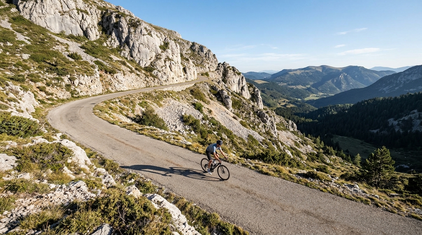
Liechtenstein may be one of Europe's smallest countries, but its cycling ambition is anything but modest. Just three catalogued climbs dot this Alpine principality, yet two of them carry the fearsome hors catégorie rating — a density of hard, high climbing that few destinations of any size can match. The road tilts skyward toward a summit of 2088 metres, rewarding riders with thin mountain air, sweeping valley views, and the quiet satisfaction of conquering some of the toughest gradients the Alps have to offer.
At the heart of it stand three marquee ascents: the Sarojasattel, the Bettlerjoch, and the Mattlerjoch. Each has its own character, but all share the same demanding DNA — long, unrelenting pitches that test both legs and resolve. For climbers who prize quality over quantity, Liechtenstein delivers a compact, concentrated challenge that lingers long after the descent.