🇰🇿 Atlas
Kazajistán
Todos los puertos, carreras y rutas que tenemos catalogados en Kazajistán, en un solo mapa.
- Puertos
- 8
- Cumbre más alta
- 3446m· Tuiksu pass
- Rutas
- 1
9 de todo lo que tenemos aquí. Toca un pin para abrirlo.
Regiones en Kazajistán
El terreno de Kazajistán
Todos los puertos catalogados del país, según su longitud y su dureza.
Distribución de dificultad
- HC
- 4
- Cat. 1
- 2
- Cat. 2
- 2
Longitud frente a pendiente
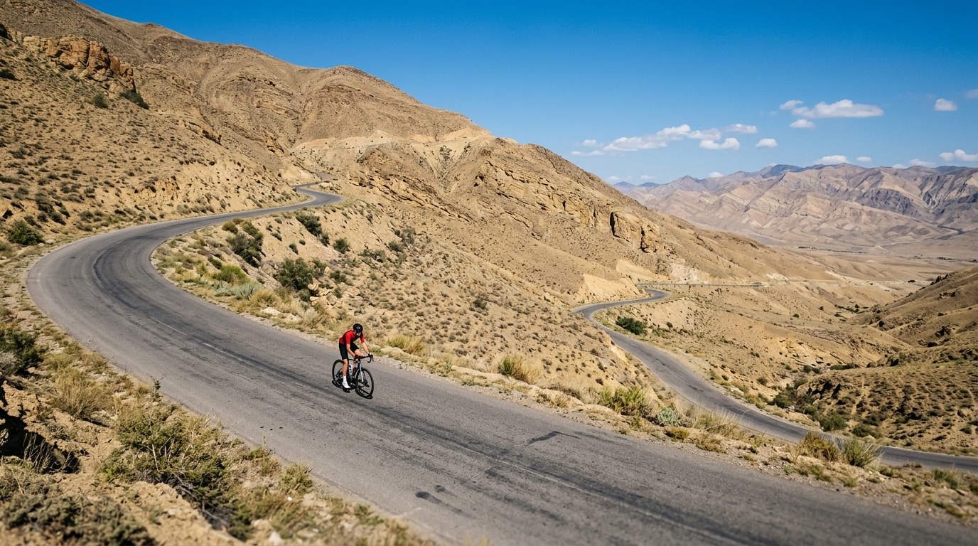
Kazakhstan is a destination for cyclists who crave altitude and solitude. With three catalogued climbs winding up toward summits as high as 3330 metres, the country rewards riders willing to grind out long, thin-air ascents far from crowded roads. The gradients are earned rather than gifted, and the payoff is a rare sense of space at the top.
The marquee effort is Zhosalykezen, a hors catégorie beast that stands as the country's toughest catalogued test and a genuine bucket-list climb for those chasing extreme elevation. Rounding out the roster are Qumbel pass and Pereval Gasforda, two ascents that trade sheer brutality for steady, high-country challenge. Together they make a compact but demanding trio, offering big vertical gains and the kind of remote, wide-open riding that keeps climbers coming back for more.