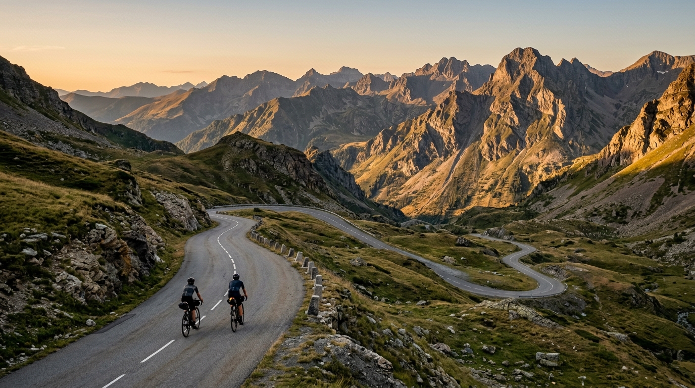
Trans-Pyrenees
Atlantic to Mediterranean across the spine of the Pyrenees - 700 km and 18,000 m of climbing in a single line.
- 距离
- 700km
- 爬升
- 18,000m
- 路面
- Road
- 形态
- 点对点
路线详情
海拔曲线
What it is
The Trans-Pyrenees is the cyclist's traverse of the Pyrenees, west to east (or east to west), from the Atlantic coast to the Mediterranean. The classic line is roughly 700 km and crosses every famous Pyrenean pass - the Aubisque, Tourmalet, Aspin, Peyresourde, Portillon, Bonaigua, and the final descent off the Col de Banyuls to the sea. Most riders do it over four to seven days.
Terrain
This is one of the toughest multi-day rides in Europe. The Pyrenean climbs are shorter than the Alps but steeper and more consistently difficult; weather is unpredictable and changes in minutes; valley roads in between can be brutal in the wind. The total elevation gain typically exceeds 18,000 m depending on the chosen passes.
History
There is no single official Trans-Pyrenees event, though several organised tours (Quaeldyck Trans-Pyrenees, BikingMan Pyrénées) follow versions of the route. The Raid Pyrénéen - a heritage cycling challenge run since 1951 - requires completion within 100 hours of the full traverse and is the original benchmark.
Tips
Plan for headwinds in either direction - the Pyrenees create their own weather. Carry rain gear and a wind layer at all times. Resupply opportunities are good in towns at the base of each col but sparse on the climbs themselves. If self-supported, plan accommodation ahead in July/August (peak Tour season) - beds in valley towns fill quickly.
Best time
June and September are ideal - warm enough at altitude, but with fewer tourists than July/August. May can still see snow on the highest cols; October risks early winter closures.