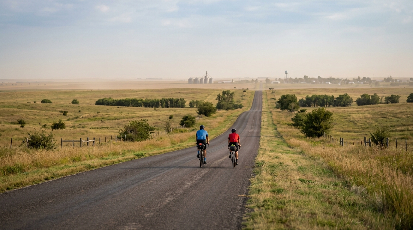
U.S. Bicycle Route 66 in Kansas
A short asphalt point-to-point with 29.3 km of riding and just 90 m of gain, built more around steady pacing than climbing.
- Distance
- 29.3km
- Dénivelé
- 90m
- Revêtement
- —
- Forme
- Point à point
L'itinéraire
Profil d'altitude
Route character
U.S. Bicycle Route 66 in Kansas is a short asphalt point-to-point route: 29.3 km with 90 m of elevation gain. That combination tells you most of what matters before rolling out. This is not a ride defined by climbing, repeated surges, or technical elevation management. It is a route where the main challenge is holding a clean, sustainable rhythm from start to finish.
With no notable climbs listed, the terrain should not force major pacing decisions. Instead, the ride rewards discipline. On a route with modest gain, it is easy to ride slightly above endurance pressure because nothing feels hard enough to demand restraint. That is exactly where steady riders separate themselves from riders who chase speed early and fade late.
Terrain and pacing
The elevation profile is light enough that gearing should be straightforward for most road setups. There is no need to plan around a summit effort or a prolonged climbing block. The better approach is to settle into a stable cadence, keep pressure smooth, and avoid treating every small rise as an acceleration point.
For endurance athletes, this makes the U.S. Bicycle Route 66 in Kansas cycling route useful as a controlled aerobic ride. The distance is long enough to establish rhythm, but short enough that it does not require complex fueling or pacing architecture. If you are riding by power, keep the effort anchored to the purpose of the day rather than the speed on the screen. For background on setting effort targets, see /glossary/ftp.
Practical notes
Because this is not a loop, logistics matter more than the terrain. Plan the finish before you start: arrange a pickup, build in an out-and-back extension, or be ready to retrace the route if you need to return to the start. The point-to-point format is the one feature here that can turn a simple ride into a poorly planned one.
The asphalt surface makes the route suitable for standard road equipment, but surface type alone does not guarantee consistency. Choose tires and pressure for comfort as much as speed, especially if the goal is steady endurance work rather than a short maximal effort.
Who it suits
This route fits riders looking for a short, uncomplicated road segment with limited climbing load. It is a good option for endurance pacing, recovery-plus riding, or adding controlled volume without committing to a major climbing day. The key is not to overthink the profile. Ride it smoothly, solve the point-to-point logistics, and let the modest terrain keep the effort honest.
Itinéraires similaires
3-Länder-Radweg
A 302.2 km asphalt route in Germany with 1512 m of climbing and point-to-point logistics shaped by the Reußenkreuz climb.
7 Peaks Alpine Challenge
A 110.9 km point-to-point assault through the Victorian Alps, stacking 3404 metres of climbing across relentless, wind-swept high-country ascents.
Aberdare Range
A 46 km asphalt point-to-point through Kenya's Central Highlands that trades big climbs for a relentless 1,700 m of rolling grind.
Abra Málaga
A 45-kilometer point-to-point ribbon of asphalt through Peru's Sacred Valley, climbing 1,699 relentless meters into the high Andes.
Afriski Mahlasela Pass
A 112.8 km asphalt ascent through the Maloti Mountains, climbing 3,384 m to the roof of southern Africa via the storied Mahlasela Pass.
Ahr Cycleway
An 82.9 km asphalt point-to-point route with 541 m of gain, the Ahr Cycleway is a steady endurance ride rather than a climb-focused day.