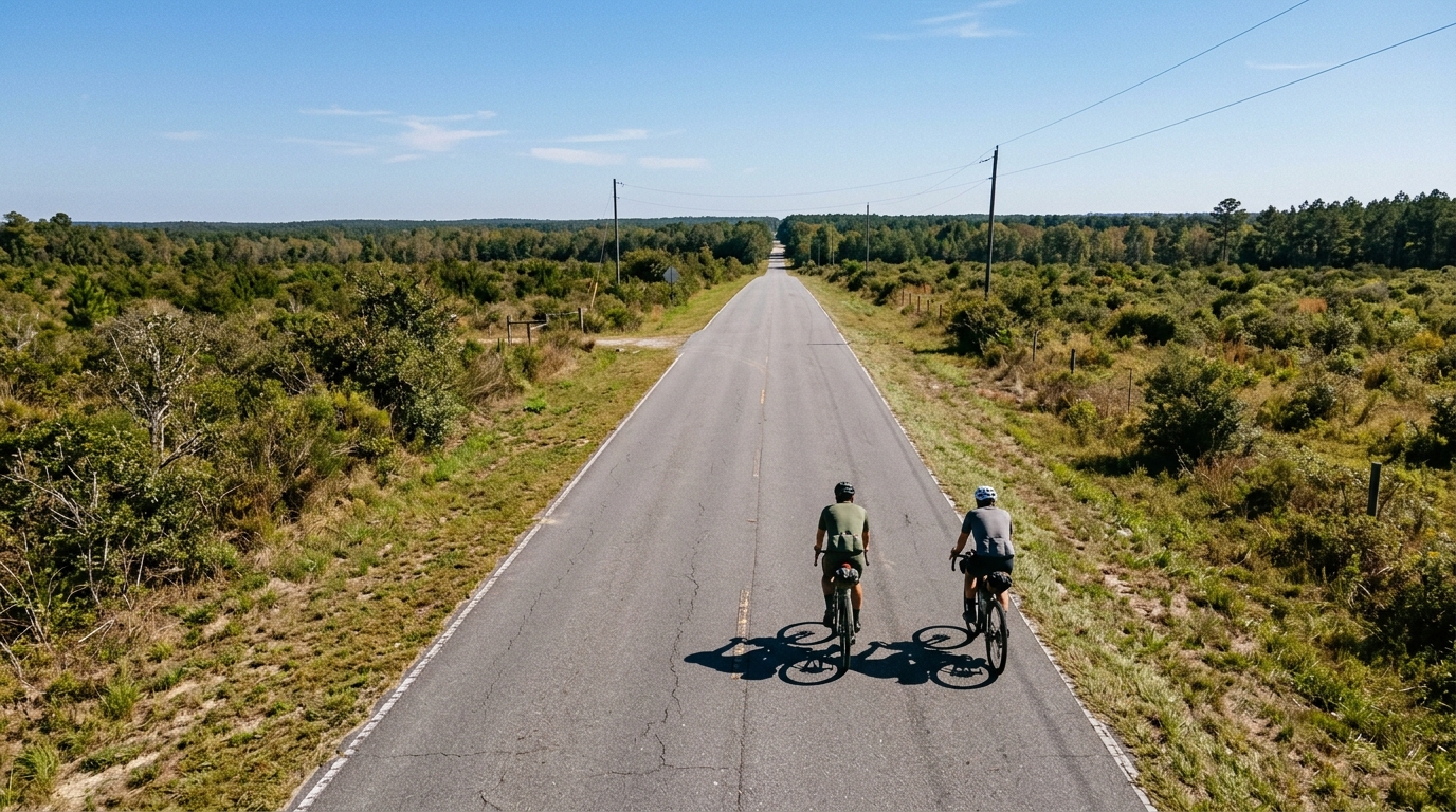
U.S. Bicycle Route 21 in Georgia
A 255.2 km point-to-point asphalt route where the main challenge is duration, pacing, and logistics rather than major climbing.
- Distance
- 255.2km
- Dénivelé
- 928m
- Revêtement
- —
- Forme
- Point à point
L'itinéraire
Profil d'altitude
Route character
U.S. Bicycle Route 21 in Georgia cycling route is a long asphalt point-to-point ride: 255.2 km with 928 m of elevation gain. That combination tells you most of what matters. This is not a route defined by a headline climb or a single obvious selection point. The difficulty comes from how long you have to keep the system running.
With 928 m of gain spread across 255.2 km, the profile should reward steady pacing more than explosive climbing. There are no notable climbs listed in the route data, so the smart read is to treat this as an endurance route where small decisions compound. Ride too hard early, skip fueling, or underestimate the logistics of a non-loop route, and the final portion becomes much harder than the elevation number suggests.
Terrain and effort
The surface is asphalt, which makes the route suitable for a road setup rather than a mixed-surface bike. The main performance limiter is likely to be aerobic durability: holding a sustainable output, staying comfortable, and keeping cadence and fueling consistent over a long day.
Because the route is not a loop, the tactical problem is different from a local endurance circuit. You are committing to forward progress. That affects everything from clothing choice to mechanical preparation. A turnaround is not naturally built into the design, and finishing logistics matter as much as the ride itself.
From a pacing standpoint, this is a route where riding under control early is the fastest strategy later. Keep the first part deliberately conservative, especially if using it as a long endurance day. If you know your /glossary/ftp, use it as a governor rather than a target. The route profile does not justify repeated hard efforts unless the goal is specifically to add intensity.
Practical notes
- Plan start and finish transport before the ride. This is a point-to-point route, not a loop.
- Use road-oriented tires and setup for asphalt.
- Treat the distance as the main challenge. Fuel early, then keep the pattern consistent.
- Carry the tools and spares you would want for a full-day ride, not a short training loop.
- Do not let the moderate total elevation gain lead to careless pacing. Over 255.2 km, small over-threshold efforts still carry a cost.
Best use
This route makes the most sense as a long endurance objective, a point-to-point challenge, or a durability benchmark. Its value is not in dramatic climbing, but in the discipline required to keep the ride boring in the right way: stable effort, steady fueling, minimal stops, and no avoidable mistakes. For riders building toward longer events, it is exactly the kind of route that exposes whether endurance fitness is matched by execution.
Itinéraires similaires
3-Länder-Radweg
A 302.2 km asphalt route in Germany with 1512 m of climbing and point-to-point logistics shaped by the Reußenkreuz climb.
7 Peaks Alpine Challenge
A 110.9 km point-to-point assault through the Victorian Alps, stacking 3404 metres of climbing across relentless, wind-swept high-country ascents.
Aberdare Range
A 46 km asphalt point-to-point through Kenya's Central Highlands that trades big climbs for a relentless 1,700 m of rolling grind.
Abra Málaga
A 45-kilometer point-to-point ribbon of asphalt through Peru's Sacred Valley, climbing 1,699 relentless meters into the high Andes.
Afriski Mahlasela Pass
A 112.8 km asphalt ascent through the Maloti Mountains, climbing 3,384 m to the roof of southern Africa via the storied Mahlasela Pass.
Ahr Cycleway
An 82.9 km asphalt point-to-point route with 541 m of gain, the Ahr Cycleway is a steady endurance ride rather than a climb-focused day.