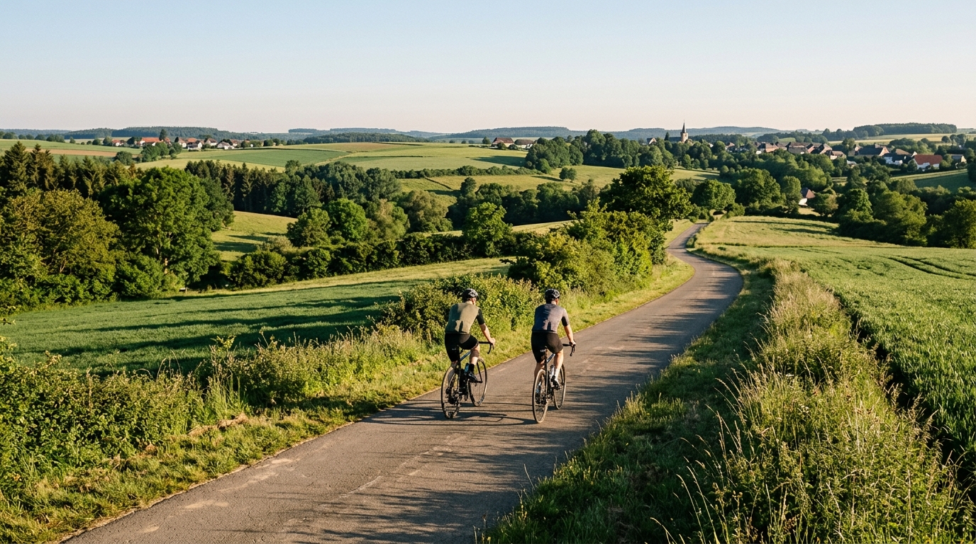
PC2 Cycle Route
A practical guide to the PC2 Cycle Route, a 60.8 km asphalt point-to-point ride in LU with 541 m of elevation gain.
- Distance
- 60.8km
- Dénivelé
- 541m
- Revêtement
- —
- Forme
- Point à point
L'itinéraire
Profil d'altitude
PC2 Cycle Route cycling route overview
The PC2 Cycle Route is a 60.8 km asphalt ride in LU with 541 m of elevation gain. It is not a loop, which is the first practical detail that should shape the day. This is a point-to-point route, so the ride is not finished logistically when the pedaling stops. Plan the start, finish, and return before treating it like a standard out-and-back or circular training ride.
The numbers point to a route that is more rolling than mountainous. With 541 m of climbing spread across 60.8 km and no notable climbs listed in the route data, the difficulty is likely to come from repeated changes in gradient rather than one defining ascent. That matters for pacing. A rider who treats every rise like a short test can turn a manageable route into a ragged final section. A steadier approach will usually be faster and cleaner.
Terrain and ride character
The asphalt surface makes the PC2 Cycle Route well suited to a road bike, endurance bike, or fast all-road setup, assuming normal conditions. The key demand is not technical surface management, but energy management. On a route with this distance and elevation profile, the hidden cost is often the accumulation of small efforts: lifting power over rises, settling back down, then repeating that pattern until the legs lose their snap.
For endurance riders, this is a good route for controlled aerobic work. Keep the pressure consistent rather than chasing speed over every undulation. If you ride with power, anchoring the day around /glossary/ftp discipline will keep the route from becoming a sequence of unnecessary surges. If you ride by feel, the same logic applies: smooth on the climbs, relaxed over the top, and avoid turning the middle of the ride into a threshold session without meaning to.
Practical notes
Because the route is point-to-point, logistics are part of the route design:
- Arrange a return from the finish or build in a separate connection.
- Do not assume the ride naturally returns to the start.
- Pace the opening section with the full 60.8 km in mind.
- Treat the 541 m of elevation gain as cumulative load, not a single climb to survive.
- Use tires and setup appropriate for asphalt rather than mixed-surface riding.
How to ride it well
The best way to approach the PC2 Cycle Route is with restraint early and consistency later. The profile does not advertise a marquee climb, so there is no obvious place to save everything for. Instead, the route rewards riders who can hold form through rolling terrain, keep cadence under control, and avoid burning matches where there is no tactical reason to do so.
That makes it useful as both a steady endurance ride and a controlled fitness check. If the final part of the route feels disproportionately hard, the issue is probably not the total elevation gain on paper. It is more likely the cost of repeated accelerations earlier in the ride. Ride it cleanly, and the PC2 Cycle Route should feel like a measured aerobic effort with enough elevation to keep it honest.
Itinéraires similaires
3-Länder-Radweg
A 302.2 km asphalt route in Germany with 1512 m of climbing and point-to-point logistics shaped by the Reußenkreuz climb.
7 Peaks Alpine Challenge
A 110.9 km point-to-point assault through the Victorian Alps, stacking 3404 metres of climbing across relentless, wind-swept high-country ascents.
Aberdare Range
A 46 km asphalt point-to-point through Kenya's Central Highlands that trades big climbs for a relentless 1,700 m of rolling grind.
Abra Málaga
A 45-kilometer point-to-point ribbon of asphalt through Peru's Sacred Valley, climbing 1,699 relentless meters into the high Andes.
Afriski Mahlasela Pass
A 112.8 km asphalt ascent through the Maloti Mountains, climbing 3,384 m to the roof of southern Africa via the storied Mahlasela Pass.
Ahr Cycleway
An 82.9 km asphalt point-to-point route with 541 m of gain, the Ahr Cycleway is a steady endurance ride rather than a climb-focused day.