PC18 Cycle Route
The PC18 Cycle Route is a short asphalt point-to-point ride with minimal climbing, best treated as a controlled endurance spin or connector.
- Distance
- 12.2km
- Dénivelé
- 20m
- Revêtement
- —
- Forme
- Point à point
L'itinéraire
Profil d'altitude
PC18 Cycle Route cycling route overview
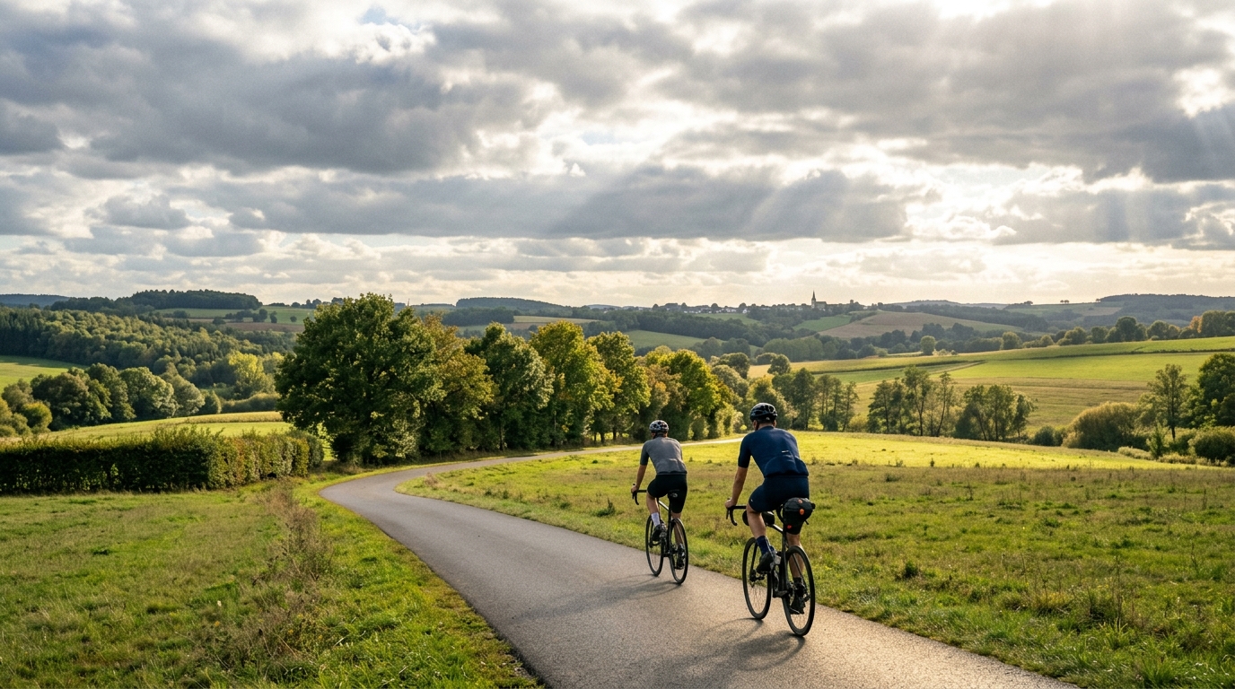
The PC18 Cycle Route cycling route is a short, direct asphalt ride with very little vertical interruption. At 12.2 km with 20 m of elevation gain, its defining feature is not climbing difficulty, but simplicity. This is a route where the terrain is unlikely to force major pacing decisions, which makes it useful for steady aerobic riding, commuting-style miles, or linking into a longer day.
Because it is not a loop, the main tactical decision comes before the ride starts: how you handle the finish. Treat it as a point-to-point route, plan a return option, or build it into a broader route rather than assuming you will naturally end where you began.
Terrain and ride character
The surface is asphalt, so the route is best suited to a road bike, endurance bike, hybrid, or any setup built around efficient rolling rather than off-road traction. With only 20 m of elevation gain across the full 12.2 km, there are no notable climbs to shape the ride. That changes the rhythm. Instead of recovering after ramps or pacing over longer ascents, the emphasis is on holding a smooth effort and staying consistent.
For a data-driven rider, this kind of profile is useful because it removes a lot of terrain noise. If conditions are steady, it can be a good place to ride controlled endurance, check position comfort, or keep power close to a target without repeatedly responding to gradient changes. If you are working from /glossary/ftp, this is the kind of route where discipline matters more than force.
Practical notes
Best use cases
- Controlled endurance riding on asphalt
- A short point-to-point connector
- Easy mileage without meaningful climbing load
- Testing cadence, position, or pacing consistency
What to plan for
The low elevation gain makes the route approachable, but the non-loop format is the detail that matters. Have a return plan before rolling out. That could mean riding back the same way, linking to another route, or arranging transport from the finish.
Do not expect a climbing workout here. The absence of notable climbs means the route will not provide the muscular load or pacing demands of a hilly session. Its value is different: low-complexity riding on asphalt, where the main performance limiter is likely your ability to stay smooth and intentional rather than your ability to manage steep terrain.
Itinéraires similaires
3-Länder-Radweg
A 302.2 km asphalt route in Germany with 1512 m of climbing and point-to-point logistics shaped by the Reußenkreuz climb.
7 Peaks Alpine Challenge
A 110.9 km point-to-point assault through the Victorian Alps, stacking 3404 metres of climbing across relentless, wind-swept high-country ascents.
Aberdare Range
A 46 km asphalt point-to-point through Kenya's Central Highlands that trades big climbs for a relentless 1,700 m of rolling grind.
Abra Málaga
A 45-kilometer point-to-point ribbon of asphalt through Peru's Sacred Valley, climbing 1,699 relentless meters into the high Andes.
Afriski Mahlasela Pass
A 112.8 km asphalt ascent through the Maloti Mountains, climbing 3,384 m to the roof of southern Africa via the storied Mahlasela Pass.
Ahr Cycleway
An 82.9 km asphalt point-to-point route with 541 m of gain, the Ahr Cycleway is a steady endurance ride rather than a climb-focused day.