Ohio State Bicycle Route 3
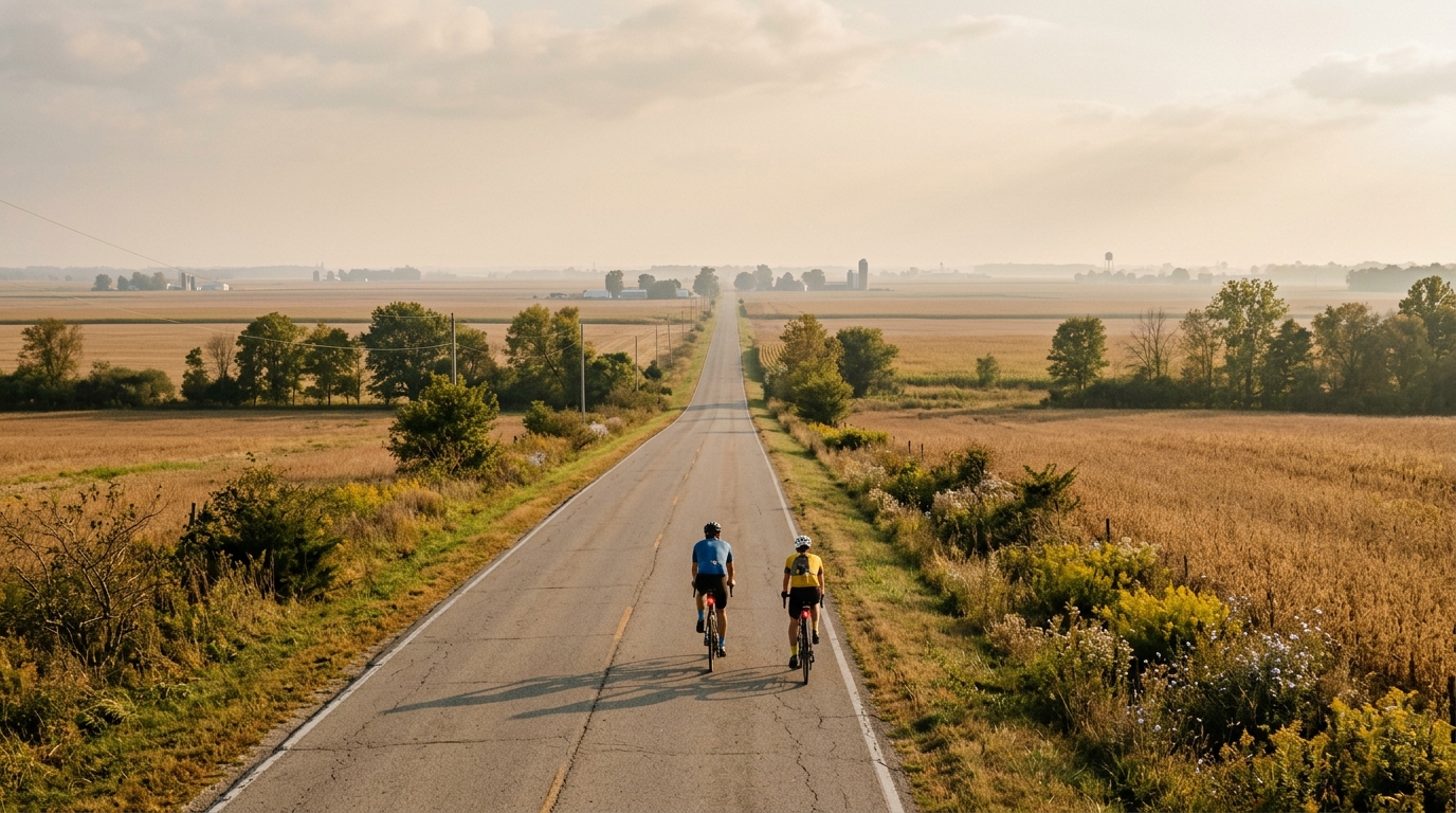
A long, asphalt point-to-point ride with minimal elevation gain and no listed notable climbs.
- Distance
- 227.2km
- Dénivelé
- 215m
- Revêtement
- —
- Forme
- Point à point
L'itinéraire
Profil d'altitude
Route character
The Ohio State Bicycle Route 3 cycling route is defined less by climbing and more by duration. At 227.2 km, this is a long day on the bike, but the listed elevation gain is only 215 m, which tells you the main limiter is not vertical load. It is time, fueling discipline, position comfort, and the ability to keep pressure on the pedals without wasting energy.
The surface is asphalt, so the ride profile suits a road bike, endurance road setup, or any efficient drop-bar bike built for sustained mileage. With no notable climbs listed, there is no obvious point where the route asks for a major climbing effort or a specific low-gear bailout. That does not make it easy. A route of this length still punishes poor pacing, especially if the early kilometres are ridden like a shorter endurance ride.
Terrain and pacing
The low total elevation gain changes the tactical problem. Instead of managing repeated climbs, the priority is holding a steady aerobic rhythm for a long time. This is the kind of route where small decisions compound: riding a little too hard early, skipping a feed, or sitting in an uncomfortable position can become expensive late in the ride.
A sensible approach is to keep the effort clearly below threshold and avoid chasing speed in the opening phase. If you pace by power, anchor the day around sustainable endurance intensity rather than anything close to /glossary/ftp. If you pace by feel, the effort should be controlled enough that the distance, not the terrain, is the dominant challenge.
Because the route is not a loop, pacing also has a logistical layer. There is no automatic return to the start, so the ride needs a plan for transport, pickup, or a second leg by bike. That matters more on a route this long because a late mechanical, poor fueling window, or weather shift can be harder to absorb when the finish is not near the start.
Practical notes
Bike and setup
Choose speed and comfort over climbing-specific equipment. The asphalt surface supports efficient tyres and a normal road gearing setup, while the limited elevation gain reduces the need to optimise for steep gradients. The bigger performance gain is likely to come from contact-point comfort, reliable storage, and a position you can hold for several hours.
Fueling and ride management
Treat the 227.2 km distance as the central fact of the route. Start eating early, keep intake consistent, and avoid waiting for hunger or fatigue to make decisions. With only 215 m of elevation gain listed, there may be fewer natural climbing cues to remind you to reset your effort, so build those checks into the ride deliberately.
Who it suits
This route suits riders looking for a long asphalt endurance objective rather than a climbing test. It is a strong candidate for steady base work, an all-day point-to-point challenge, or a controlled long ride where the goal is execution rather than elevation.
Itinéraires similaires
3-Länder-Radweg
A 302.2 km asphalt route in Germany with 1512 m of climbing and point-to-point logistics shaped by the Reußenkreuz climb.
7 Peaks Alpine Challenge
A 110.9 km point-to-point assault through the Victorian Alps, stacking 3404 metres of climbing across relentless, wind-swept high-country ascents.
Aberdare Range
A 46 km asphalt point-to-point through Kenya's Central Highlands that trades big climbs for a relentless 1,700 m of rolling grind.
Abra Málaga
A 45-kilometer point-to-point ribbon of asphalt through Peru's Sacred Valley, climbing 1,699 relentless meters into the high Andes.
Afriski Mahlasela Pass
A 112.8 km asphalt ascent through the Maloti Mountains, climbing 3,384 m to the roof of southern Africa via the storied Mahlasela Pass.
Ahr Cycleway
An 82.9 km asphalt point-to-point route with 541 m of gain, the Ahr Cycleway is a steady endurance ride rather than a climb-focused day.