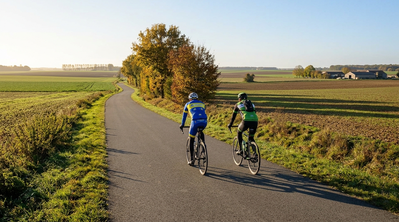
Île-de-France Vélo Line 8
A low-climbing, asphalt point-to-point route in France: 89.1 km with 204 m of elevation gain, built for steady endurance pacing.
- Distance
- 89.1km
- Dénivelé
- 204m
- Revêtement
- —
- Forme
- Point à point
L'itinéraire
Profil d'altitude
Île-de-France Vélo Line 8 cycling route
The Île-de-France Vélo Line 8 cycling route is a 89.1 km asphalt point-to-point ride in France with just 204 m of elevation gain. That profile tells you most of what matters: this is not a route defined by climbing, but by how consistently you can ride, manage momentum, and keep the day efficient from start to finish.
With no notable climbs listed, the effort should feel more like a long aerobic line than a sequence of set-piece ascents. The low elevation gain means there is little reason to ride defensively early because of a major climb later. Instead, the main limiter is likely to be endurance discipline: staying smooth, fuelling before you need to, and avoiding the repeated surges that quietly turn a manageable ride into a tired final hour.
Terrain and ride character
The surface is asphalt, so the route suits a road bike, endurance bike, or fast all-road setup with slick tyres. Because the climbing load is light for the distance, tyre choice and position can matter more than gearing. A comfortable, efficient setup will usually pay back more than an ultra-low climbing gear that never gets used.
The key tactical feature is the point-to-point format. Since it is not a loop, the logistics are part of the ride rather than an afterthought. Before starting, decide how you are getting back, where you will finish, and whether you need to carry extra clothing or supplies because there is no natural return to the start.
How to pace it
Treat the first part as a control phase. On a route with only 204 m of gain, it is easy to drift above endurance intensity because the terrain rarely forces you to back off. If you ride by power, keep the early effort anchored around your all-day range rather than chasing every small acceleration. If you use heart rate, watch for gradual drift and respond before it becomes a problem. For a refresher on setting effort, see /glossary/ftp.
The better approach is steady pressure on the pedals, minimal surging, and short stops when needed rather than long pauses that break rhythm. The lack of major climbs does not make the route automatic. It simply shifts the challenge from climbing strength to consistency.
Practical notes
- Distance: 89.1 km
- Elevation gain: 204 m
- Surface: asphalt
- Format: point-to-point, not a loop
- Notable climbs: none listed
Pack for a full-distance ride, not a short spin. The route length is substantial enough that fuelling still matters, even if the elevation profile is forgiving. Aim to eat and drink on a schedule, especially because flatter terrain can make it easier to forget regular intake.
The best way to ride Île-de-France Vélo Line 8 is to respect its simplicity. It is not a climbing test. It is a pacing test, a logistics test, and a good route for building durable aerobic work without the interruptions of major elevation gain.
Itinéraires similaires
3-Länder-Radweg
A 302.2 km asphalt route in Germany with 1512 m of climbing and point-to-point logistics shaped by the Reußenkreuz climb.
7 Peaks Alpine Challenge
A 110.9 km point-to-point assault through the Victorian Alps, stacking 3404 metres of climbing across relentless, wind-swept high-country ascents.
Aberdare Range
A 46 km asphalt point-to-point through Kenya's Central Highlands that trades big climbs for a relentless 1,700 m of rolling grind.
Abra Málaga
A 45-kilometer point-to-point ribbon of asphalt through Peru's Sacred Valley, climbing 1,699 relentless meters into the high Andes.
Afriski Mahlasela Pass
A 112.8 km asphalt ascent through the Maloti Mountains, climbing 3,384 m to the roof of southern Africa via the storied Mahlasela Pass.
Ahr Cycleway
An 82.9 km asphalt point-to-point route with 541 m of gain, the Ahr Cycleway is a steady endurance ride rather than a climb-focused day.