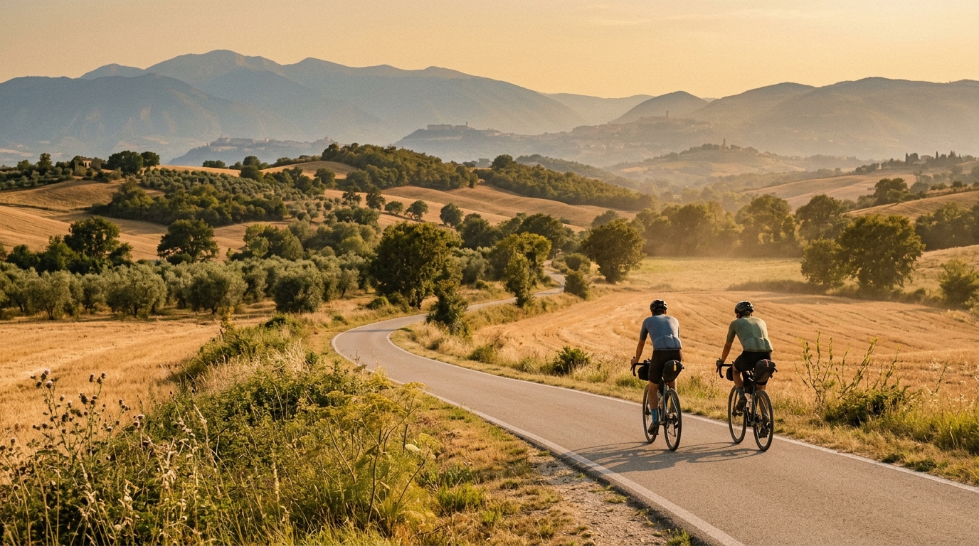
Ciclovia Assisi-Spoleto
A 54.2 km asphalt point-to-point route with modest climbing, best ridden as a steady endurance link between Assisi and Spoleto.
- Distance
- 54.2km
- Dénivelé
- 265m
- Revêtement
- —
- Forme
- Point à point
L'itinéraire
Profil d'altitude
Ciclovia Assisi-Spoleto cycling route
The Ciclovia Assisi-Spoleto is a 54.2 km asphalt route in Italy with 265 m of elevation gain. On paper, that profile tells you most of what matters: this is not a climbing route in the decisive sense, but it is not completely flat either. The low total gain spread across the distance points toward a ride where rhythm matters more than raw climbing strength.
Because it is not a loop, the biggest practical decision is logistics. Treat it as a point-to-point ride and plan the return before you start, rather than assuming the route naturally brings you back to the same place. That matters for pacing too. A route of this distance is short enough to ride with intent, but long enough that an over-enthusiastic opening can still turn the final section into damage control.
Terrain and ride character
The asphalt surface makes this a straightforward road-bike route. The key feature is the balance between distance and climbing. With 265 m of gain over 54.2 km, the terrain should reward smooth endurance riding, efficient positioning, and controlled efforts rather than repeated maximal accelerations.
The named climbs - Colle Del Marchese, Colle di San Lorenzo, and Colle di Capodacqua - are the points where the route is most likely to break its steady character. Without needing to overstate them, their presence is useful tactically. Expect the ride to have a few moments where cadence, gear choice, and pacing become more important than simply sitting at endurance power.
For riders using power, this is the kind of route where staying below threshold on the rises usually pays back later. Let the small changes in terrain come to you. Pressing every incline too hard can quietly lift the cost of the ride, even when the total elevation gain looks modest. If you need a reference point for managing effort, anchor the ride around /glossary/ftp rather than chasing speed across changing terrain.
Practical notes
- Distance: 54.2 km
- Elevation gain: 265 m
- Surface: asphalt
- Format: point-to-point, not a loop
- Notable climbs: Colle Del Marchese, Colle di San Lorenzo, Colle di Capodacqua
The best approach is simple: ride it as a steady endurance route with a few terrain-driven interruptions. Carry enough food and fluid for a continuous 54.2 km ride, choose tyres and setup appropriate for asphalt, and leave some margin for the named climbs. The route's profile suggests a ride that is accessible but still worth respecting - less because of any single severe feature, and more because point-to-point routes punish poor pacing and poor planning more than they first appear to.
Cols et côtes sur cet itinéraire
Colle di San Lorenzo
Cat. 3A 5.3 km category 3 climb rising 231 m from 242 m to 473 m at a steady 4.34% average, peaking at 7.25%.
Colle di Capodacqua
Cat. 3A 6.6 km category 3 climb rising 268 m from 257 m to 525 m at a steady 4.04% average, with a 12.79% sting.
Colle Del Marchese
Cat. 4A steady 4.9 km category 4 climb rising 213 m at 4.37%, with a max pitch of just 6.22% — one of the friendlier tests you will meet.
Itinéraires similaires
3-Länder-Radweg
A 302.2 km asphalt route in Germany with 1512 m of climbing and point-to-point logistics shaped by the Reußenkreuz climb.
7 Peaks Alpine Challenge
A 110.9 km point-to-point assault through the Victorian Alps, stacking 3404 metres of climbing across relentless, wind-swept high-country ascents.
Aberdare Range
A 46 km asphalt point-to-point through Kenya's Central Highlands that trades big climbs for a relentless 1,700 m of rolling grind.
Abra Málaga
A 45-kilometer point-to-point ribbon of asphalt through Peru's Sacred Valley, climbing 1,699 relentless meters into the high Andes.
Afriski Mahlasela Pass
A 112.8 km asphalt ascent through the Maloti Mountains, climbing 3,384 m to the roof of southern Africa via the storied Mahlasela Pass.
Ahr Cycleway
An 82.9 km asphalt point-to-point route with 541 m of gain, the Ahr Cycleway is a steady endurance ride rather than a climb-focused day.