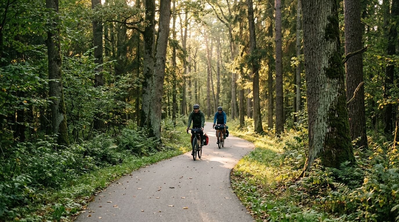
Białowieża Cross-border Cycle Route
A 224 km asphalt route with just 445 m of elevation gain, built for steady endurance riding rather than climbing fireworks.
- Distance
- 224km
- Dénivelé
- 445m
- Revêtement
- —
- Forme
- Point à point
L'itinéraire
Profil d'altitude
Route character
The Białowieża Cross-border Cycle Route cycling route is a long asphalt ride with a very clear profile: distance is the main challenge, not elevation. At 224 km with 445 m of elevation gain, the route asks for aerobic discipline more than climbing strength. There are no notable climbs listed, which tells you the decisive factor is likely to be how well you manage steady output, position comfort, fuelling, and the cumulative fatigue of staying on the bike for a long day.
That low elevation figure changes the way the ride should be approached. Instead of saving matches for major ascents, the smarter strategy is to keep the effort controlled from the start and avoid turning small rises, exposed sections, or early enthusiasm into unnecessary power spikes. On a route this long, the cost of repeated accelerations tends to show up late, when the terrain itself is not hard enough to explain why the legs have gone flat.
Terrain and effort
The surface is asphalt, so the route suits a road bike, endurance road setup, or fast all road bike depending on comfort preference. The lack of major climbing means gearing does not need to be built around steep gradients. What matters more is a setup that lets you hold a sustainable cadence and stay comfortable over many hours.
Because the route is not a loop, logistics matter. This is an end to end ride rather than a simple return to the start, so transport, pickup, or an onward plan should be sorted before the ride. That practical detail is part of the route’s difficulty. A rider who treats it like a casual out and back can end up solving the hardest problem after the legs are already empty.
Practical pacing notes
- Ride the first half below the effort you think you can hold all day.
- Keep surges limited, even if the terrain feels forgiving.
- Prioritise steady fuelling, because the route’s length is the real limiter.
- Choose tyres and contact points for comfort on asphalt over a long duration.
- If riding with power, avoid drifting into /glossary/ftp intensity unless there is a specific reason.
Who it suits
This route is best for riders who want a long, controlled endurance test without the interruption of major climbs. It rewards consistency and preparation more than punch. The profile is forgiving on paper, but 224 km is still long enough to punish poor pacing. Treat it as an endurance ride first and a speed exercise second, and the route makes much more sense.
Itinéraires similaires
3-Länder-Radweg
A 302.2 km asphalt route in Germany with 1512 m of climbing and point-to-point logistics shaped by the Reußenkreuz climb.
7 Peaks Alpine Challenge
A 110.9 km point-to-point assault through the Victorian Alps, stacking 3404 metres of climbing across relentless, wind-swept high-country ascents.
Aberdare Range
A 46 km asphalt point-to-point through Kenya's Central Highlands that trades big climbs for a relentless 1,700 m of rolling grind.
Abra Málaga
A 45-kilometer point-to-point ribbon of asphalt through Peru's Sacred Valley, climbing 1,699 relentless meters into the high Andes.
Afriski Mahlasela Pass
A 112.8 km asphalt ascent through the Maloti Mountains, climbing 3,384 m to the roof of southern Africa via the storied Mahlasela Pass.
Ahr Cycleway
An 82.9 km asphalt point-to-point route with 541 m of gain, the Ahr Cycleway is a steady endurance ride rather than a climb-focused day.