🇰🇷 Atlas
Corée du Sud
Chaque ascension, course et itinéraire que nous recensons en Corée du Sud, sur une seule carte.
- Cols
- 7
- Plus haut sommet
- 1040m· Hangyeryeong
- Parcours
- 1
8 sur tout ce que nous avons répertorié ici. Appuie sur un repère pour l'ouvrir.
Régions de Corée du Sud
Le terrain de Corée du Sud
Chaque montée répertoriée du pays, positionnée selon sa longueur et sa pente.
- Plus haut sommet
- 1040m
- Hangyeryeong
- Montée la plus longue
- 18km
- Hangyeryeong
- Ascension la plus raide
- 12%
- Gombaeryeong
Répartition des difficultés
- Cat. 1
- 3
- Cat. 2
- 4
Longueur en fonction du dénivelé
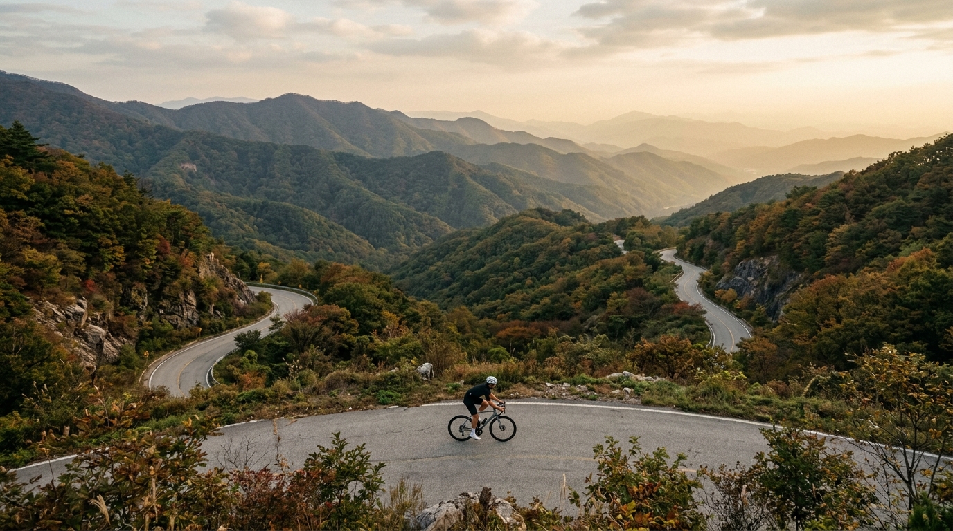
South Korea rewards riders who like their mountains steady and rhythmic rather than savage. With four catalogued climbs and a highest summit reaching 843 metres, this is a place to settle into a cadence and let the road unspool. None of the ascents tip into hors catégorie territory, so the challenge here is less about survival and more about the long, sustained tempo effort that defines a good day in the saddle.
The country's marquee passes carry names worth chasing. Daegwallyeong is the standout, a broad mountain crossing that has become a rite of passage for local riders, while Jungnyeong and Maguryeong add character with their winding gradients. Paljoryeong rounds out the quartet, giving visitors a tidy list to tick off. For anyone building a focused climbing trip, South Korea packs plenty of vertical reward into a manageable handful of ascents.