🇮🇪 Atlas
Irlande
Chaque ascension, course et itinéraire que nous recensons en Irlande, sur une seule carte.
- Cols
- 7
- Plus haut sommet
- 568m· Máméan
- Parcours
- 1
8 sur tout ce que nous avons répertorié ici. Appuie sur un repère pour l'ouvrir.
Le terrain de Irlande
Chaque montée répertoriée du pays, positionnée selon sa longueur et sa pente.
Répartition des difficultés
- Cat. 1
- 1
- Cat. 2
- 2
- Cat 3
- 3
- Cat 4
- 1
Longueur en fonction du dénivelé
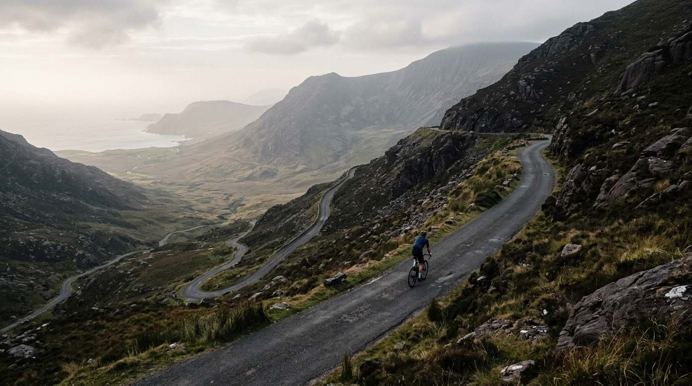
Ireland's climbing is not built around huge altitude, which is exactly why it rides differently. With 5 listed climbs, no hors categorie ascents, and a highest summit of 477m, the challenge comes from how often the road changes character. These climbs reward riders who can manage effort through irregular ramps, exposed sections, and surfaces that make traction and pacing matter as much as raw /glossary/ftp.
The headline names give the country a clear climbing identity. Conor Pass and Wicklow Gap are the reference points, while Glengesh Pass, Moll's Gap, and Priest's Leap add the kind of punchy, technical variety that makes Ireland worth a dedicated climbing trip. It is not a destination for altitude bragging rights. It is a place to learn how to ride climbs that rarely let you settle.