🇦🇩 Atlas
Andorre
Chaque ascension, course et itinéraire que nous recensons en Andorre, sur une seule carte.
- Cols
- 9
- Plus haut sommet
- 2901m· Port de Vallcivera
- Parcours
- 1
10 sur tout ce que nous avons répertorié ici. Appuie sur un repère pour l'ouvrir.
Régions de Andorre
Le terrain de Andorre
Chaque montée répertoriée du pays, positionnée selon sa longueur et sa pente.
- Plus haut sommet
- 2901m
- Port de Vallcivera
- Montée la plus longue
- 35.5km
- Port de Rat
- Ascension la plus raide
- 17.9%
- Coll de la Gallina
Répartition des difficultés
- HC
- 4
- Cat. 1
- 1
- Cat. 2
- 2
- Cat 3
- 1
- Cat 4
- 1
Longueur en fonction du dénivelé
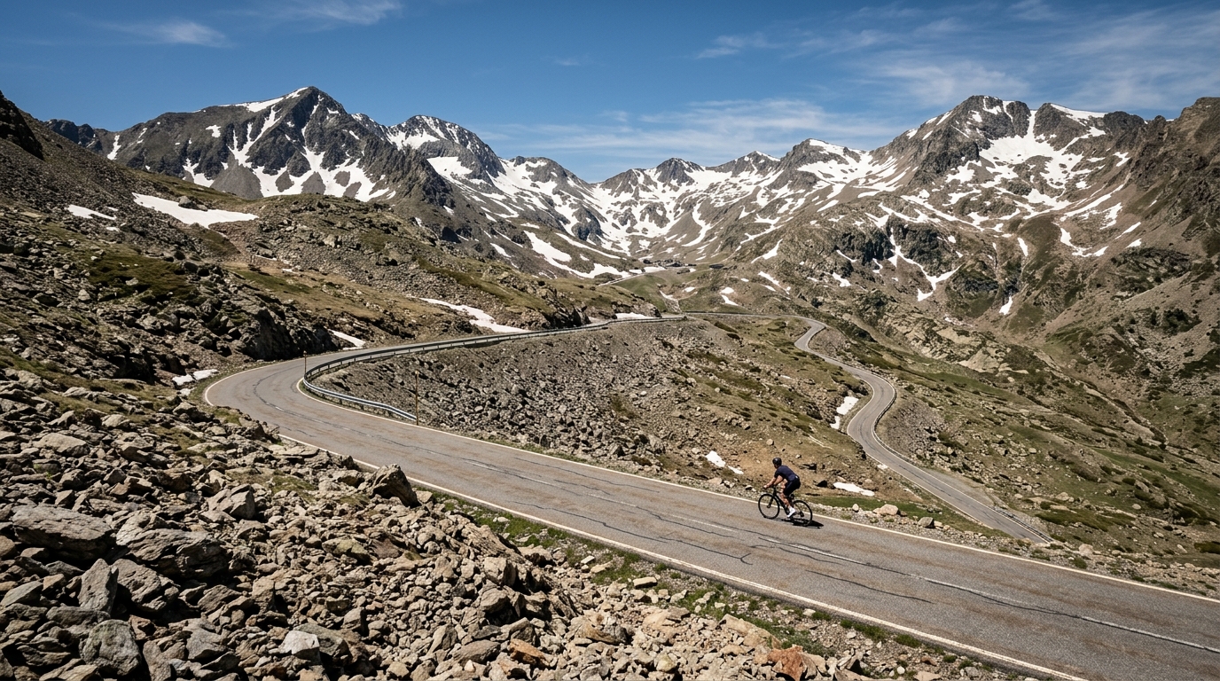
Andorra is a climbing destination distilled to its essence: a small mountain principality where the roads point almost relentlessly upward. Six catalogued climbs are packed into this compact terrain, and three of them earn the fearsome hors catégorie label, the toughest rating a road can carry. The highest summit tops out at 2,548 m, thin-aired heights that reward the patient grinder with sweeping alpine views and long, sustained gradients that test every gear and every reserve of will.
The marquee ascents read like a checklist for serious climbers. Port d'Envalira and El Pas de la Casa draw riders toward the loftiest passes, while Port de Rat and Port de l'Albeille offer rugged, high-country challenges of their own. Closer to the punchy end, Coll de la Gallina and Col de Beixalis deliver steep, relentless ramps that have made them favorites among those chasing pure vertical suffering. Few places concentrate so much climbing into so little ground.