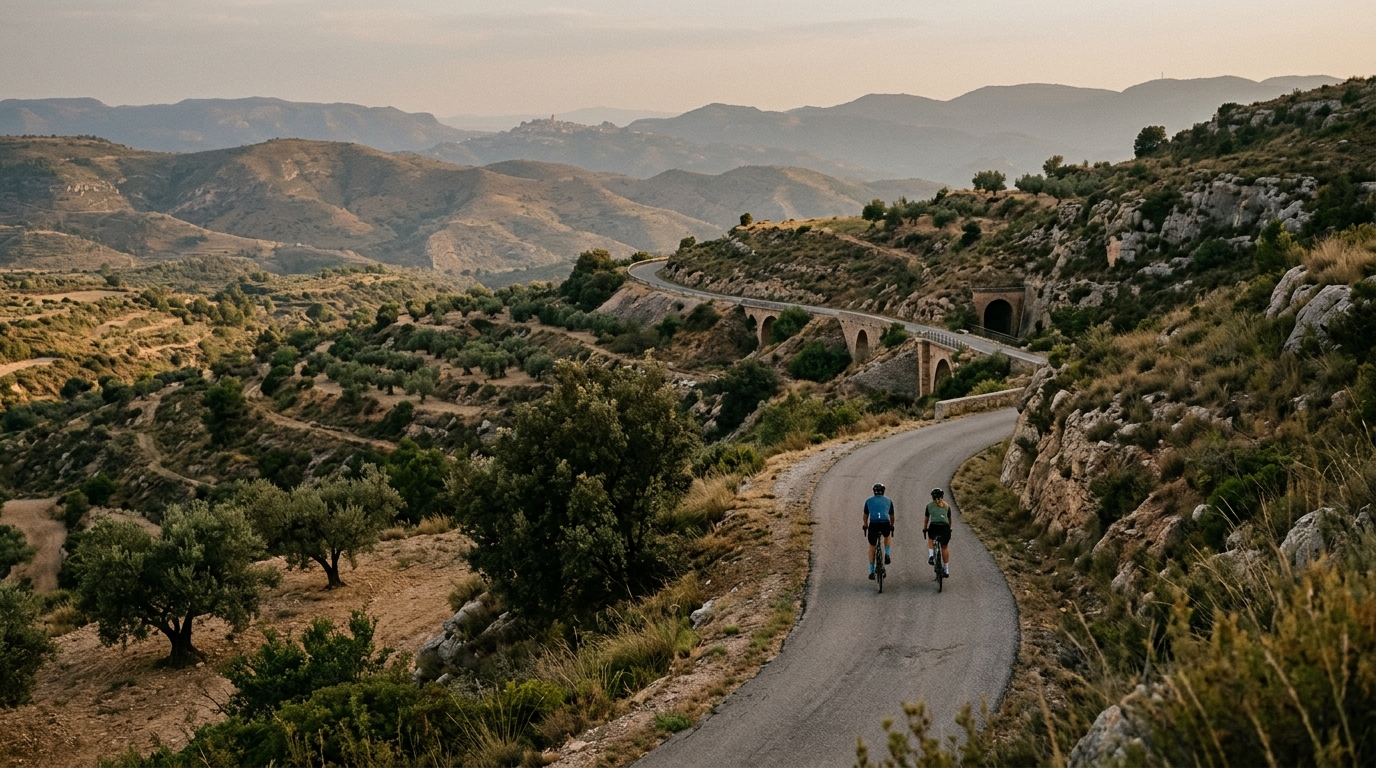
Via Verda de la Terra Alta
A compact asphalt point-to-point ride with steady accumulated climbing rather than a single defining ascent.
- Distance
- 23.7km
- Climbing
- 392m
- Surface
- —
- Shape
- Point-to-point
The route
Elevation profile
Via Verda de la Terra Alta cycling route
The Via Verda de la Terra Alta is a compact asphalt route that asks less for brute climbing ability than for steady pacing. At 23.7 km, it is not a long day by endurance standards, but the 392 m of elevation gain gives it enough resistance to make the ride feel structured rather than purely recreational.
The key detail is that this is not a loop. That changes the ride before you even start pedalling. A point-to-point route rewards a little planning: decide whether you are arranging a pickup, riding back the same way, or linking it into a bigger day. Treating it as an out-and-back would materially change the workload, so the stated route should be understood as one direction only.
Terrain and ride character
With an asphalt surface and no notable climbs listed, the difficulty is likely to come from accumulation rather than one obvious test. That matters tactically. There is no single climb to wait for, no headline segment where the ride suddenly becomes hard. Instead, the effort can creep upward if you keep pushing over every rise.
For endurance riders, this makes the route useful. It is short enough to ride with control, but rolling enough to expose poor pacing. If you are using power, keep the early effort below the level you know you can repeat. If you ride by feel, avoid turning the first half into a sequence of small accelerations. The route profile suggests a day where smoothness matters more than punch.
A guide to pacing by threshold can help if you are using this as a training ride: /glossary/ftp.
Practical notes
The asphalt surface keeps equipment choices simple. A normal road setup is appropriate, and there is no need to build the ride around technical handling or mixed-surface compromises based on the route data provided.
Because the route is 23.7 km, fueling does not need to be complicated, but it still depends on how hard you ride and whether you extend it. The bigger practical issue is route logistics. Since it is not a loop, confirm the finish plan before starting rather than solving it tired at the far end.
Who it suits
This is a strong option for riders who want a contained ride with enough elevation gain to make the effort meaningful. It suits steady aerobic work, controlled tempo riding, or a scenic connector inside a longer day. It is less suited to riders looking for a signature climb, because the available route data points to a smoother, more cumulative challenge rather than a single defining ascent.
Related routes
3-Länder-Radweg
A 302.2 km asphalt route in Germany with 1512 m of climbing and point-to-point logistics shaped by the Reußenkreuz climb.
7 Peaks Alpine Challenge
A 110.9 km point-to-point assault through the Victorian Alps, stacking 3404 metres of climbing across relentless, wind-swept high-country ascents.
Aberdare Range
A 46 km asphalt point-to-point through Kenya's Central Highlands that trades big climbs for a relentless 1,700 m of rolling grind.
Abra Málaga
A 45-kilometer point-to-point ribbon of asphalt through Peru's Sacred Valley, climbing 1,699 relentless meters into the high Andes.
Afriski Mahlasela Pass
A 112.8 km asphalt ascent through the Maloti Mountains, climbing 3,384 m to the roof of southern Africa via the storied Mahlasela Pass.
Ahr Cycleway
An 82.9 km asphalt point-to-point route with 541 m of gain, the Ahr Cycleway is a steady endurance ride rather than a climb-focused day.