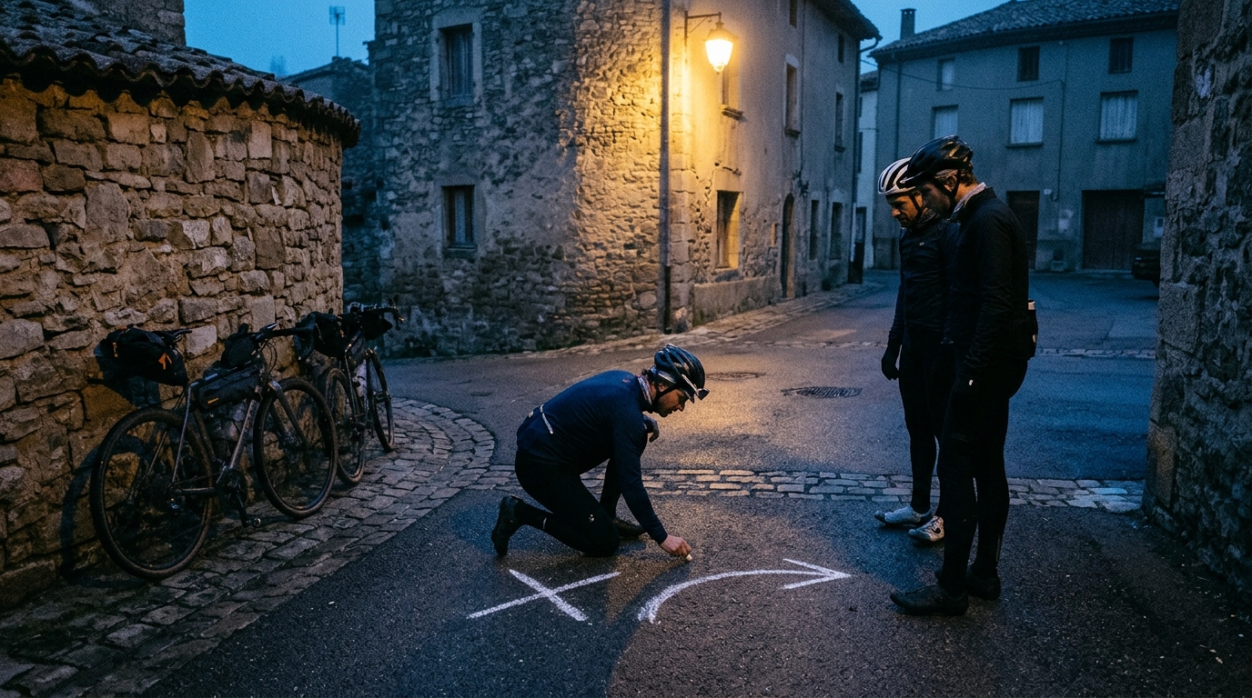
Image generated by our model.
komoot
How to Migrate from Komoot Without Losing Routes
Export Komoot routes as GPX files, preserve key waypoints, avoid broken imports, and rebuild a cleaner route library for training and group rides.
Why the migration matters
If you are trying to migrate from Komoot, the goal is not just to get files out of one platform and into another. The real goal is to preserve the riding value of your route library.
A route can be a repeatable endurance loop, a race recon file, a safe winter option, a climbing session, or a group ride that only works because the cafe stop, regroup points, and awkward junctions are already baked in.
The important thing to understand is this: GPX usually preserves the line better than it preserves the intent. The file may show where the route goes, but it may not explain why you chose that road, avoided that junction, added that gravel sector, or placed the hard effort on that climb. That is why a clean migration has three jobs: export the route, preserve the context, then verify the file before trusting it on the road.
What Komoot data you can and cannot take with you
When you export Komoot routes, the most portable asset is the GPX file. GPX is the common format for moving cycling routes between mapping tools, head units, and training platforms. If your new platform accepts GPX, you can usually move the rideable line across without rebuilding the route manually.
But a GPX file is not a full copy of everything inside Komoot.
You can usually take:
- The route track or planned path
- The route name, depending on how the export and import tools handle file naming
- Waypoints or points of interest, if they are embedded and supported by the receiving platform
- Elevation data, either from the file or recalculated after import
- Basic location structure that lets the new tool redraw the route
You may not fully preserve:
- Komoot-specific collections and folders
- Surface classifications exactly as Komoot displayed them
- Platform-generated highlights and community notes
- Turn-by-turn cue formatting
- Sport-specific routing assumptions
- The reason the route was built unless you document it yourself
That last point matters for athletes. A route built to keep endurance power steady is different from a route built for repeated climbs, gravel handling, low-traffic winter riding, or group dynamics. If that purpose is lost, the imported file may still be rideable but less useful for training execution.
Audit your saved routes before exporting
Do not begin by bulk-exporting everything and hoping to sort it out later. That turns a platform migration into a digital junk drawer.
Start with an audit. Open your saved routes and separate them by use case. A route that matters for training deserves more care than a speculative holiday route you never rode.
Useful categories include:
- Training loops - repeatable endurance, tempo, threshold, and climbing routes
- Event or race recon - routes tied to an upcoming objective
- Group rides - files that depend on meeting points, stops, and regroup locations
- Travel routes - rides built for unfamiliar roads or terrain
- Archive routes - old ideas that are worth keeping but not worth polishing immediately
For each important route, review the name before export. Vague names become a liability after migration. A file called 'Sunday ride' tells you almost nothing when it appears in a new platform. A better name includes the location, purpose, and defining feature, without relying on a platform folder to explain it.
Useful naming structures include:
- Location - training purpose - defining feature
- Start area - group ride name - long or short version
- Event name - recon sector - direction
This matters because route platforms often treat the file name as the route name after import. If you clean naming before you export Komoot routes, you reduce manual repair work later.
Komoot GPX export instructions
Komoot calls planned routes 'Tours'. On the web, Komoot's support language for GPX export uses 'Export to GPS device' and 'Download GPX file'. UI placement can vary with screen size, account, region, and product changes, so treat the wording as the important part rather than the exact button location.
Web
Use the web export when you want the least ambiguity.
- Sign in to Komoot on the web
- Open the planned Tour you want to move
- Look for the Tour action labeled 'Export to GPS device'
- Choose 'Download GPX file'
- Save the GPX file locally before importing it anywhere else
If the export action is hidden in an overflow or actions menu, use the label rather than the menu position. Komoot may change where the action sits without changing the export function itself.
App
Komoot app export behavior and wording can vary by iOS, Android, account type, region, and app version. If your app shows an explicit GPX export or download action in the Tour options, use it. If it does not, use the web method above rather than trying to infer a hidden workflow.
That caution is practical, not cosmetic. When you are migrating a route library, a repeatable web workflow is easier to audit than a mobile share flow that may behave differently across devices.
Export routes in batches, not randomly
A disciplined export workflow looks like this:
- Open the saved Tour you want to move
- Confirm it is the correct version, especially if you have similar variants
- Rename it clearly before exporting if needed
- Download the route as a GPX file
- Save the file into a local folder structure that matches your intended use
- Do not delete or modify the original until the imported version has been checked
If you have a large route library, work in batches by category. Training routes first, group ride routes next, archive routes last. The logic is simple: the routes you use most often should be verified first, because those are the ones most likely to create a real-world problem if something changes during import.
Keep a local backup of the exported GPX files in a folder that is not controlled by the new route platform. Cloud sync is useful, but do not make your only backup another closed ecosystem. GPX is valuable because it is portable. Treat it like the master copy.
If you need a refresher on the file format itself, see /glossary/gpx.
Preserve route names, surfaces, and key waypoints
Route names should be cleaned before and after import. Keep them short enough to read on a head unit, but specific enough to be useful when choosing a ride under time pressure. The best naming systems are boring because they reduce ambiguity.
Surfaces need more scrutiny. Komoot may classify roads, gravel, paths, or other surfaces in a way the new platform does not reproduce exactly. After import, open the route in the new planner and inspect the sections that matter: unpaved sectors, technical paths, busy roads, cut-throughs, and any shortcut that looked clever on a screen but could be poor in real life.
This is where recalculation can quietly damage a route. Gravel and low-traffic routes are often intentionally indirect. They use side roads, paths, connectors, or unpopular segments because the point is control, safety, surface, or specificity, not the shortest path. If a new platform recalculates the route with different map data or different priorities, it may replace those choices with something cleaner on paper and worse on the bike.
Key waypoints deserve the same attention. These are not decorative labels. They make a route operational.
Preserve or recreate waypoints for:
- Start location
- Finish location if different from the start
- Cafe or water stops
- Known regroup points
- Decision points where the route variant matters
- Hazards or awkward junctions
- Climbs or efforts that define the session
If the imported GPX loses those points, add them manually in the new platform. For structured athletes, add intent to the route notes where the new platform supports it. A route intended for endurance pace should be described differently from a route built around repeated climbs or race-specific positioning. If you use power targets, link the route to the kind of work you expect to do rather than treating every file as neutral. For pacing context, see /glossary/ftp.
Import routes into a new cycling platform
Once your GPX files are exported and organized locally, import them into the new platform in the same categories you used during the audit.
A common mistake is importing everything at once, then trying to build order afterward. That makes it harder to spot failed imports, duplicate routes, and naming problems. Instead, import one category, review it, then move on.
A practical import sequence:
- Create your destination folders or collections first
- Import the cleanest and most important routes before archive routes
- Check whether the route name came through correctly
- Open the map view immediately after import
- Confirm the route has not snapped to a different road or path
- Save only once you are happy with the imported version
If the new platform offers route recalculation, use it deliberately. Recalculation is not just a cleanup tool. It asks the receiving platform to reinterpret the route using its own map, access rules, surface assumptions, and routing priorities. That can help when a file is messy, but it can also erase the specific decisions that made the route useful.
The safest approach is to treat the GPX file as the source of truth until you choose to edit it. If a route matters, use the imported GPX as a reference layer and redraw it in your new planner. A dedicated workflow, such as /tools/route-planner, is usually better than trusting an automatic conversion for a key training ride or group route.
Check distance, elevation, and turn cues after import
After you import GPX routes, verification is mandatory. Not because GPX is inherently unreliable, but because each platform interprets route data differently.
Check distance first. If the imported route is materially different from what you expected, something changed. It may have been simplified, rerouted, truncated, or interpreted as a direct line between points. Do not send that file to a head unit until you know why.
Check elevation next. Elevation can come from the file, be recalculated by the platform, or be interpreted from the platform's own map data. That means the climbing profile can shift after import. For pacing and fueling, the exact total is less important than whether the route still shows the important demands in the right places. If a climb, descent, or rolling section disappears from the profile, investigate before riding.
Then check turn cues. This is the most practical failure point. Head units and route platforms do not always interpret cues the same way because a GPX file may contain track points, route points, waypoints, or limited cue information. The device may then generate instructions from its own map data, turn-angle thresholds, and firmware logic. That is why a route can look correct on the map but still produce missing, late, duplicated, or confusing directions.
Before using an imported route for a key ride, do a final device check:
- Sync the route to the head unit
- Open the route on the device, not just in the web platform
- Confirm the start point is correct
- Confirm the direction is correct
- Review the profile and cue behavior if your device allows it
- Keep the original GPX available until the route has been ridden successfully
This is especially important for group rides. A bad route file does not just waste time. It creates stops, confusion, and unnecessary surges as riders correct mistakes. The stronger the group, the more a small navigation error can distort the session.
Troubleshooting failed GPX imports
Most migration problems are not mysterious. They usually come from the receiving platform interpreting the file differently from Komoot or applying its own routing engine on top of the imported line.
The route imports as a straight line
A direct-line route usually means the platform did not interpret the file as a detailed track, or it connected sparse points without routing them properly.
What to do:
- Re-import the GPX and look for an option that preserves the original track
- Avoid automatic recalculation until the line is visible and correct
- If the platform supports both route and track imports, try the track-preserving option
- If the file still fails, use the GPX as a reference and redraw the route manually
Turn cues are missing or wrong
Missing cues are common because turn-by-turn directions are often generated by the destination platform or head unit, not carried over perfectly from the original planner.
What to do:
- Open the route on the actual head unit before riding
- Check complex junctions, bike paths, town centers, and off-road connectors
- Add manual waypoints at critical turns if the platform supports them
- Recalculate only the cue sheet if that option exists, not the whole route line
The same route appears multiple times
Duplicates happen when platforms do not identify an imported GPX as the same route, especially after renaming, editing, or importing from multiple devices.
What to do:
- Sort by import date and route name
- Compare the map before deleting anything
- Keep the cleanest version with the best name, notes, and cues
- Archive or delete the rest so your active library stays usable
Elevation looks different after import
Elevation mismatch usually comes from the receiving platform recalculating the profile from its own elevation model or map data.
What to do:
- Check whether the important climbs, descents, and rolling sections appear in the right places
- Do not obsess over a small total difference if the shape of the ride is intact
- Investigate if a major climb or descent has disappeared from the profile
- For key events or pacing plans, validate the file on the device you will actually use
The route snaps to the wrong surface
This is common on gravel, mixed-surface, and low-traffic routes. The new platform may prefer a paved road, a more popular route, or a different legal access assumption. The result can look smoother but ride worse.
What to do:
- Set the correct activity type before importing or recalculating
- Add shaping points before and after the surface-sensitive section
- Disable recalculation if the imported line is already correct
- Redraw the problem sector manually if the platform keeps overriding it
- Visually inspect any path, gravel sector, or quiet-road detour that mattered in the original route
Organize old routes for future training and group rides
A migration is an opportunity to make your route library better than it was in Komoot. Do not recreate the same clutter in a new place.
Organize routes around how you actually ride. For training, that usually means purpose first, location second. For group rides, it usually means start location, route name, and variant. For travel, geography may matter most.
A clean structure might include:
- Endurance loops
- Climbing routes
- Fast group rides
- Recovery spins
- Gravel or mixed surface
- Event recon
- Travel archive
- Retired routes
Retired routes are underrated. Do not delete everything you no longer use. Some routes are valuable references, but they should not sit beside current training files. Move them out of the way so your everyday route list stays actionable.
For old group rides, standardize names and notes. Include meeting location, regroup points, and any section where the group typically splits. If the new platform supports tags, use them consistently. Tags like 'winter', 'low traffic', 'race prep', 'no drop', or 'lights required' are more useful than vague labels.
For training routes, think like a coach. Each route should answer a question: what session does this enable? If the answer is unclear, rename it, move it to the archive, or delete it. A good route library reduces decision fatigue. It helps you pick the right ride for the physiological goal, the weather, the available time, and the group.
FAQ
Can I export Komoot routes as GPX?
Yes. On the web, Komoot's GPX export flow uses 'Export to GPS device' and 'Download GPX file' for planned Tours. App availability and wording can vary, so use the web method if you do not see a clear GPX export option on mobile.
Do Komoot waypoints transfer when I export GPX?
They may, but you should not assume every waypoint will transfer in a usable way. It depends on how the point is stored in the GPX file and how the receiving platform reads it. After import, check start, finish, stops, regroup points, hazards, and key training landmarks manually.
Will turn-by-turn directions transfer from Komoot?
Not always. Some platforms and head units generate their own turn cues after import, while others may read limited cue or waypoint data from the file. Always check the route on the device you will use, especially before a race recon, travel ride, or group ride.
Why did my imported route change after recalculation?
Recalculation asks the new platform to rebuild the route using its own map data, routing preferences, surface assumptions, and access rules. That can change gravel sectors, low-traffic detours, bike paths, or any intentionally indirect section.
Should I keep the original GPX files after importing?
Yes. Keep a local backup of every exported GPX file until you have verified and ridden the imported version. The local GPX is your portable master copy if the new platform changes, duplicates, or corrupts the route.
The clean migration checklist
Use this as the practical order of operations when you move cycling routes away from Komoot:
- Audit saved routes by purpose before exporting
- Rename important files so they make sense outside Komoot
- Use Komoot's GPX download for each route you want to keep
- Save a local backup of every exported GPX file
- Preserve or recreate key waypoints after import
- Inspect surface-sensitive sections in the new platform
- Import GPX routes by category, not randomly
- Compare the map, elevation profile, and cue behavior after import
- Troubleshoot direct lines, missing cues, duplicates, elevation changes, and wrong-surface snapping before riding
- Test critical routes on your head unit before relying on them
- Archive old routes instead of letting them clutter active folders
The point is not to make the migration complicated. It is to avoid the false economy of moving fast and discovering the problems on the roadside.
A GPX export gets your routes out. A careful audit, clean naming, waypoint preservation, and post-import verification make them usable. If you do that work once, your new route library will be easier to search, easier to trust, and more useful for structured training and rides that still depend on local knowledge.