U.S. Bicycle Route 37 in Illinois
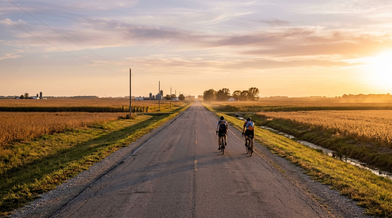
A point-to-point asphalt route across Illinois, USBR 37 is defined by distance, continuity, and almost no climbing.
- Distance
- 149.5km
- Climbing
- 87m
- Surface
- —
- Shape
- Point-to-point
The route
Elevation profile
Route character
U.S. Bicycle Route 37 in Illinois is a long, point-to-point asphalt ride where the main feature is not the climbing, but the sustained distance. At 149.5 km with just 87 m of elevation gain, this is a route that asks for steady execution rather than repeated surges over terrain.
That profile matters. With no notable climbs listed and very little total vertical gain for the distance, the ride is unlikely to be decided by climbing strength. Instead, the limiter becomes the ability to hold a consistent aerobic output, manage position and cadence, and avoid turning an apparently simple route into a slow fade late in the day.
Terrain and pacing
The numbers point to a predominantly flat road experience on asphalt. That makes pacing deceptively important. Without climbs forcing natural changes in effort, riders can sit too high for too long, especially early when the route feels easy. A better approach is to cap the opening effort, keep the pressure smooth, and let the distance accumulate.
For endurance riders using power, this is the kind of course where riding below threshold and staying disciplined relative to /glossary/ftp matters more than chasing spikes. The low elevation gain reduces the need for repeated high-torque climbing efforts, but it does not remove fatigue. On a ride of this length, small inefficiencies compound.
What to expect
Expect a point-to-point day rather than a loop, which changes the logistics. Start and finish planning matter more here than on a circular ride, because once committed, the route does not naturally bring you back to the same place. Transport, timing, and bailout planning should be sorted before rolling out.
The asphalt surface supports a road setup. There is no reason, based on the route data, to treat this as a gravel or mixed-surface ride. A standard endurance road bike setup is the logical default, with tire choice leaning toward comfort and reliability over climbing weight savings.
Practical notes
- Treat the 149.5 km distance as the main difficulty.
- Do not underestimate the route because the elevation gain is only 87 m.
- Plan the point-to-point logistics before the ride.
- Use the flat profile to settle into a sustainable rhythm rather than forcing pace changes.
- Fuel early, because the terrain will not naturally remind you to back off.
Bottom line
U.S. Bicycle Route 37 in Illinois is a distance-first cycling route. Its lack of notable climbs makes it accessible in terms of terrain, but the point-to-point format and 149.5 km length still demand preparation. Ride it well and it should reward patience, smooth pacing, and clean logistics more than raw climbing ability.
Related routes
3-Länder-Radweg
A 302.2 km asphalt route in Germany with 1512 m of climbing and point-to-point logistics shaped by the Reußenkreuz climb.
7 Peaks Alpine Challenge
A 110.9 km point-to-point assault through the Victorian Alps, stacking 3404 metres of climbing across relentless, wind-swept high-country ascents.
Aberdare Range
A 46 km asphalt point-to-point through Kenya's Central Highlands that trades big climbs for a relentless 1,700 m of rolling grind.
Abra Málaga
A 45-kilometer point-to-point ribbon of asphalt through Peru's Sacred Valley, climbing 1,699 relentless meters into the high Andes.
Afriski Mahlasela Pass
A 112.8 km asphalt ascent through the Maloti Mountains, climbing 3,384 m to the roof of southern Africa via the storied Mahlasela Pass.
Ahr Cycleway
An 82.9 km asphalt point-to-point route with 541 m of gain, the Ahr Cycleway is a steady endurance ride rather than a climb-focused day.