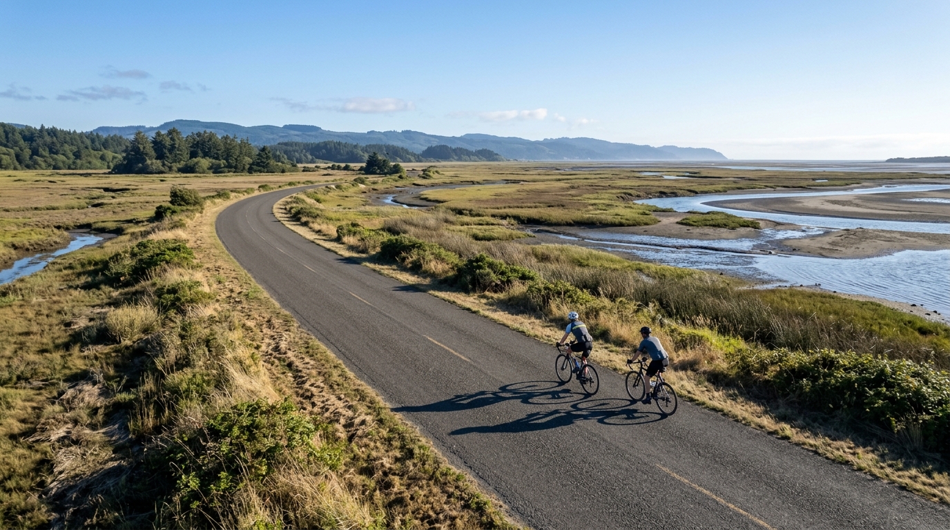
U.S. Bicycle Route 195
A practical guide to U.S. Bicycle Route 195, a 73.3 km asphalt point-to-point ride with 260 m of elevation gain.
- Distance
- 73.3km
- Climbing
- 260m
- Surface
- —
- Shape
- Point-to-point
The route
Elevation profile
U.S. Bicycle Route 195 cycling route overview
U.S. Bicycle Route 195 is a 73.3 km asphalt route in the United States with 260 m of elevation gain. On paper, that makes it a road-focused point-to-point ride where the challenge is less about one decisive climb and more about maintaining momentum across the full distance.
The important detail is the combination of paved surface, modest total climbing, and non-loop format. This is not a route built around a major ascent, and there are no notable climbs listed in the route data. That changes how to ride it. Instead of saving everything for a named summit, the better approach is steady pacing, clean fueling, and avoiding the small surges that make moderate terrain feel harder than it should.
Terrain and ride character
With 260 m of gain spread across 73.3 km, the route should feel controlled rather than mountainous. The climbing load is present, but it is not the defining feature. That usually rewards riders who can hold an efficient endurance pace, stay aero or compact when the road allows, and keep pressure on the pedals without repeatedly drifting above threshold.
Because the surface is asphalt, bike choice can stay simple. A road bike is the natural fit, and tire selection should prioritize efficiency and comfort over off-road durability. If using this route as training, it suits endurance work, aerobic tempo, or a longer steady ride rather than a pure climbing session. For riders estimating effort zones, anchoring the ride around /glossary/ftp rather than chasing every rise will make the distance easier to manage.
Pacing and effort
The main tactical mistake on a route like this is treating the low elevation gain as permission to ride inconsistently. A 73.3 km point-to-point ride still has enough duration to punish poor pacing, especially if wind, traffic rhythm, or route logistics create interruptions.
A sensible structure is:
- Start below target effort until the route rhythm is clear
- Ride the middle section at a sustainable endurance or tempo effort
- Keep cadence smooth on gradual rises rather than forcing big-gear accelerations
- Save any harder work for the final portion, once the remaining distance is known
This is a good route for learning restraint. The lack of a listed major climb means there is no obvious place where the ride will reset. Small errors accumulate quietly.
Practical notes
The route is not a loop, so planning matters. Arrange a pickup, transit option, or an out-and-back extension before starting. Treat the endpoint logistics as part of the ride, not an afterthought.
The asphalt surface makes the route accessible for standard road setups, but riders should still carry normal spares and enough food for the full 73.3 km. Since the available route data does not list notable climbs, do not build the day around climbing benchmarks. Build it around consistency, fueling, and route completion.
For most cyclists, U.S. Bicycle Route 195 is best understood as a steady paved endurance ride: long enough to require discipline, gentle enough in total elevation gain to keep the focus on rhythm, and linear enough that logistics matter as much as legs.
Related routes
3-Länder-Radweg
A 302.2 km asphalt route in Germany with 1512 m of climbing and point-to-point logistics shaped by the Reußenkreuz climb.
7 Peaks Alpine Challenge
A 110.9 km point-to-point assault through the Victorian Alps, stacking 3404 metres of climbing across relentless, wind-swept high-country ascents.
Aberdare Range
A 46 km asphalt point-to-point through Kenya's Central Highlands that trades big climbs for a relentless 1,700 m of rolling grind.
Abra Málaga
A 45-kilometer point-to-point ribbon of asphalt through Peru's Sacred Valley, climbing 1,699 relentless meters into the high Andes.
Afriski Mahlasela Pass
A 112.8 km asphalt ascent through the Maloti Mountains, climbing 3,384 m to the roof of southern Africa via the storied Mahlasela Pass.
Ahr Cycleway
An 82.9 km asphalt point-to-point route with 541 m of gain, the Ahr Cycleway is a steady endurance ride rather than a climb-focused day.