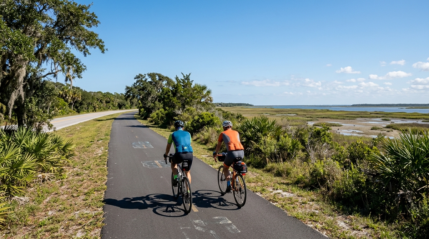
U.S. Bicycle Route 110
A short asphalt U.S. route with modest elevation gain, best read as a steady point-to-point ride rather than a climbing-focused effort.
- Distance
- 12.5km
- Climbing
- 49m
- Surface
- —
- Shape
- Point-to-point
The route
Elevation profile
U.S. Bicycle Route 110 cycling route overview
U.S. Bicycle Route 110 is a compact asphalt route in the United States, covering 12.5 km with 49 m of elevation gain. On paper, that tells you most of what matters tactically: this is not a route built around a decisive climb, repeated elevation changes, or surface management. It is a short, paved point-to-point ride where the main demand is keeping the effort smooth rather than managing a major terrain shift.
Because the route is not a loop, the practical planning matters more than the climbing. Riders should think through the finish before rolling out, whether that means arranging a pickup, linking it into a longer ride, or reversing the route to return. The distance is manageable, but a non-loop route always has consequences if wind, weather, or fatigue changes the feel of the ride after the turnaround or transfer plan is already committed.
Terrain and ride character
The listed elevation gain is modest for the distance, and there are no notable climbs in the route data. That points to a route where pacing should stay controlled and continuous. Rather than saving energy for a major ascent, the better approach is to settle into an efficient rhythm and avoid unnecessary surges.
The asphalt surface also shapes the ride. This is a route suited to normal road-going equipment rather than a setup chosen around loose or mixed terrain. Tire choice, pressure, and position can be optimized for rolling efficiency and comfort, since the available data does not indicate an off-road surface challenge.
For riders using the route as training, its value is likely in consistency. A short paved route with limited climbing can work well for aerobic riding, cadence work, or a controlled effort where terrain does not constantly interrupt the target intensity. If you are riding by power, the absence of listed climbs means the key is discipline: keep the output steady instead of letting small changes in grade pull you above target. For context on how that relates to pacing, see /glossary/ftp.
Practical notes
- Distance: 12.5 km.
- Elevation gain: 49 m.
- Surface: asphalt.
- Route format: not a loop.
- Notable climbs: none listed.
The main takeaway is straightforward: U.S. Bicycle Route 110 is a short paved point-to-point cycling route with limited elevation demands. Treat it less like a feature climb and more like a controlled connector, a steady training segment, or a simple route option where logistics and pacing matter more than terrain selection.
Related routes
3-Länder-Radweg
A 302.2 km asphalt route in Germany with 1512 m of climbing and point-to-point logistics shaped by the Reußenkreuz climb.
7 Peaks Alpine Challenge
A 110.9 km point-to-point assault through the Victorian Alps, stacking 3404 metres of climbing across relentless, wind-swept high-country ascents.
Aberdare Range
A 46 km asphalt point-to-point through Kenya's Central Highlands that trades big climbs for a relentless 1,700 m of rolling grind.
Abra Málaga
A 45-kilometer point-to-point ribbon of asphalt through Peru's Sacred Valley, climbing 1,699 relentless meters into the high Andes.
Afriski Mahlasela Pass
A 112.8 km asphalt ascent through the Maloti Mountains, climbing 3,384 m to the roof of southern Africa via the storied Mahlasela Pass.
Ahr Cycleway
An 82.9 km asphalt point-to-point route with 541 m of gain, the Ahr Cycleway is a steady endurance ride rather than a climb-focused day.