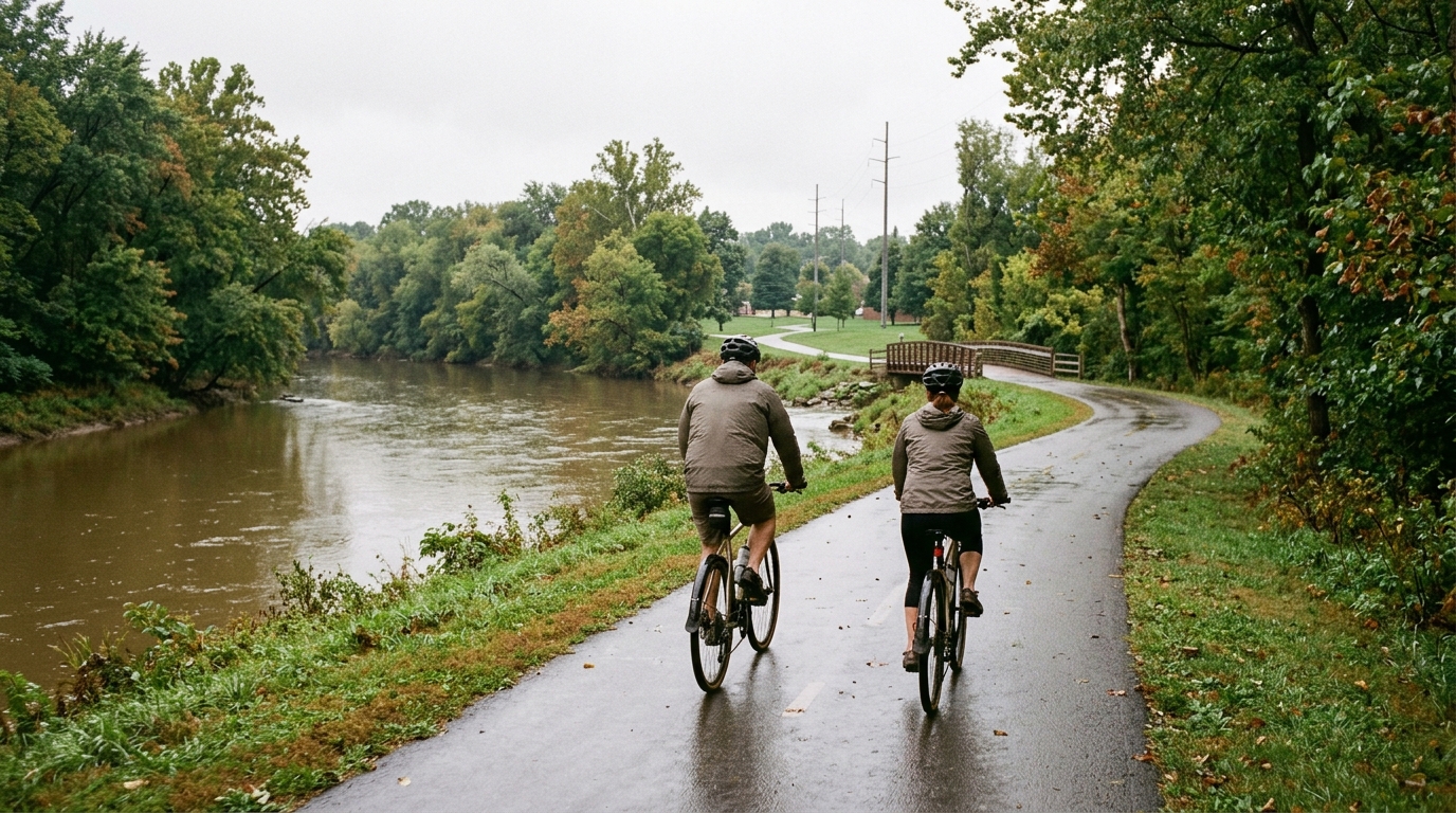
Stillwater River Recreation Trail
A 21.8 km asphalt, point-to-point ride with 82 m of elevation gain and no listed notable climbs.
- Distance
- 21.8km
- Climbing
- 82m
- Surface
- —
- Shape
- Point-to-point
The route
Elevation profile
Route character
The Stillwater River Recreation Trail cycling route is a short, paved point-to-point ride that should feel controlled rather than selective. At 21.8 km with 82 m of elevation gain, the defining feature is not climbing load but continuity: an asphalt surface, modest vertical change, and no listed notable climbs.
That combination makes the route best understood as an efficient endurance or aerobic spin rather than a course that forces repeated high-torque efforts. The elevation profile, based on the available stats, suggests the terrain will not dominate the ride. Instead, pacing, wind exposure, surface rhythm, and how you handle the non-loop logistics will shape the experience more than any single climb.
Terrain and pacing
With only 82 m of gain across the full distance, this is not a route where climbing fitness is the main limiter. Riders should expect a relatively steady effort, especially if conditions allow the asphalt to roll quickly. That matters because flatter paved routes can encourage surging: it is easy to ride above endurance pace without the obvious warning sign of a steep gradient.
For training, this is a useful place to keep the effort honest. If the goal is aerobic volume, settle into a sustainable rhythm and avoid turning every slight rise or acceleration into a threshold effort. If the goal is tempo, the route length is enough to build a focused block without needing major terrain changes. For riders using power, anchor the effort to known zones rather than perceived speed, since speed can be misleading on low-gain asphalt routes. See /glossary/ftp if you need a refresher on using FTP to structure intensity.
Practical notes
The key logistical point is that this is not a loop. Plan the finish before you start, especially if riding solo. A point-to-point route can be simple if there is a pickup, transit option, or a planned return ride, but it is less forgiving than a loop if weather, daylight, or fatigue changes late.
The asphalt surface points toward a road bike, endurance bike, hybrid, or any setup that rolls efficiently on pavement. There are no listed notable climbs, so gearing does not need to be chosen around sustained steep gradients. Instead, prioritize comfort, predictable handling, and a setup that lets you maintain a smooth cadence over the full route.
Who it suits
This route suits riders looking for an accessible paved ride with limited climbing demand. It is also a good option for a controlled session where the objective is consistency rather than terrain difficulty. The numbers do not suggest a decisive climbing challenge, but that does not make the ride meaningless. On a route like this, the test is often discipline: holding the right effort, managing the point-to-point format, and finishing with the ride you intended rather than the one the pace drifted into.
Related routes
3-Länder-Radweg
A 302.2 km asphalt route in Germany with 1512 m of climbing and point-to-point logistics shaped by the Reußenkreuz climb.
7 Peaks Alpine Challenge
A 110.9 km point-to-point assault through the Victorian Alps, stacking 3404 metres of climbing across relentless, wind-swept high-country ascents.
Aberdare Range
A 46 km asphalt point-to-point through Kenya's Central Highlands that trades big climbs for a relentless 1,700 m of rolling grind.
Abra Málaga
A 45-kilometer point-to-point ribbon of asphalt through Peru's Sacred Valley, climbing 1,699 relentless meters into the high Andes.
Afriski Mahlasela Pass
A 112.8 km asphalt ascent through the Maloti Mountains, climbing 3,384 m to the roof of southern Africa via the storied Mahlasela Pass.
Ahr Cycleway
An 82.9 km asphalt point-to-point route with 541 m of gain, the Ahr Cycleway is a steady endurance ride rather than a climb-focused day.