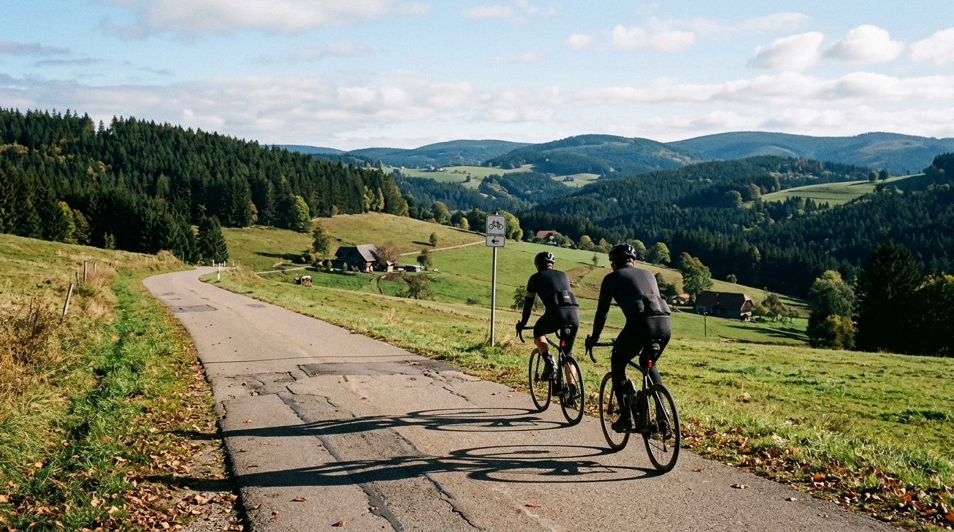
Schwarzwald-Panorama-Radweg
A point-to-point asphalt route across Germany with 349.6 km of riding, 2126 m of gain, and a series of named Black Forest climbs.
- Distance
- 349.6km
- Climbing
- 2,126m
- Surface
- —
- Shape
- Point-to-point
The route
Elevation profile
Schwarzwald-Panorama-Radweg cycling route overview
The Schwarzwald-Panorama-Radweg is a long point-to-point asphalt route in Germany, running for 349.6 km with 2126 m of elevation gain. On paper, that profile tells you something important: this is not a brutally vertical route for its full length, but it is also not a flat touring roll. The climbing is meaningful because it arrives through named obstacles rather than as background noise.
The key climbs listed for the route are Fohrenbühl, Ruhestein, Alexanderschanze, Rote Lache, and Büchereck. That gives the ride its character. The route is likely to feel more like a sequence of terrain problems than a steady endurance cruise: settle into the easier asphalt sections, then manage effort carefully when the road tilts up.
Terrain and pacing
The total distance is the headline constraint. At 349.6 km, the Schwarzwald-Panorama-Radweg asks for durability first. The 2126 m of gain is enough to punish riders who treat the early route like a flat road ride, especially with repeated named climbs still to come.
The smartest approach is to ride the climbs below threshold unless the route is being used as a specific fitness test. On a route this long, surges compound. Every hard acceleration on Fohrenbühl or Ruhestein makes Alexanderschanze, Rote Lache, and Büchereck more expensive later. If you know your /glossary/ftp, this is the kind of ride where disciplined pacing matters more than peak power.
Because the surface is asphalt, the route suits a road-oriented setup. That does not mean it should be approached lightly. Long asphalt routes can hide their difficulty because speed is easier to maintain, which encourages riders to drift into an effort level that feels sustainable until the climbs expose the cost.
What to expect on the road
Expect the route to alternate between flowing sections and more deliberate climbing phases. The notable climbs give natural checkpoints, and they should shape how you fuel, pace, and mentally divide the day. Rather than thinking of the full 349.6 km at once, break the ride into sections between those climbs and keep the effort repeatable.
The non-loop format is a major practical detail. This is not a route where you simply finish back at the start without planning. Transport, accommodation, or a return connection need to be considered before the ride, not improvised at the end when fatigue is highest.
Practical notes
- Surface: asphalt, so a road bike or endurance road setup is the natural choice.
- Format: point-to-point, which makes start and finish logistics part of the ride plan.
- Effort: conserve on the early climbs and avoid chasing speed on easier sections.
- Fueling: treat the named climbs as reminders to eat before the effort, not after the damage is done.
- Gearing: choose a setup that lets you climb seated and controlled when fatigue has accumulated.
The Schwarzwald-Panorama-Radweg rewards riders who respect the combination of distance and repeated climbing. It is not defined by one single decisive ascent. Its difficulty comes from how the asphalt, length, and climbs stack together over the full route.
Climbs on this route
Fohrenbühl
Cat 2A Category 2 German climb over 8.8 km with 473 m of net gain but 628 m of total ascent, making undulation the defining challenge.
Ruhestein
Cat 2A 10.6 km Category 2 climb in Germany with 633 m of net gain, an undulating profile, and a steepest ramp near 16 percent.
Alexanderschanze
Cat 2A data-driven profile of Alexanderschanze, an 8.9 km Category 2 climb in Germany gaining 486 m net over undulating terrain.
Rote Lache
Cat 2Rote Lache is a 7.4 km Category 2 climb in Germany with a 6.7% average gradient, 497 m of net gain, and undulations that punish careless pacing.
Büchereck
Cat 3A 10.4 km Category 3 climb in Germany gaining 424 m net, but with 623 m of total ascent hiding real undulation.
Related routes
3-Länder-Radweg
A 302.2 km asphalt route in Germany with 1512 m of climbing and point-to-point logistics shaped by the Reußenkreuz climb.
7 Peaks Alpine Challenge
A 110.9 km point-to-point assault through the Victorian Alps, stacking 3404 metres of climbing across relentless, wind-swept high-country ascents.
Aberdare Range
A 46 km asphalt point-to-point through Kenya's Central Highlands that trades big climbs for a relentless 1,700 m of rolling grind.
Abra Málaga
A 45-kilometer point-to-point ribbon of asphalt through Peru's Sacred Valley, climbing 1,699 relentless meters into the high Andes.
Afriski Mahlasela Pass
A 112.8 km asphalt ascent through the Maloti Mountains, climbing 3,384 m to the roof of southern Africa via the storied Mahlasela Pass.
Ahr Cycleway
An 82.9 km asphalt point-to-point route with 541 m of gain, the Ahr Cycleway is a steady endurance ride rather than a climb-focused day.