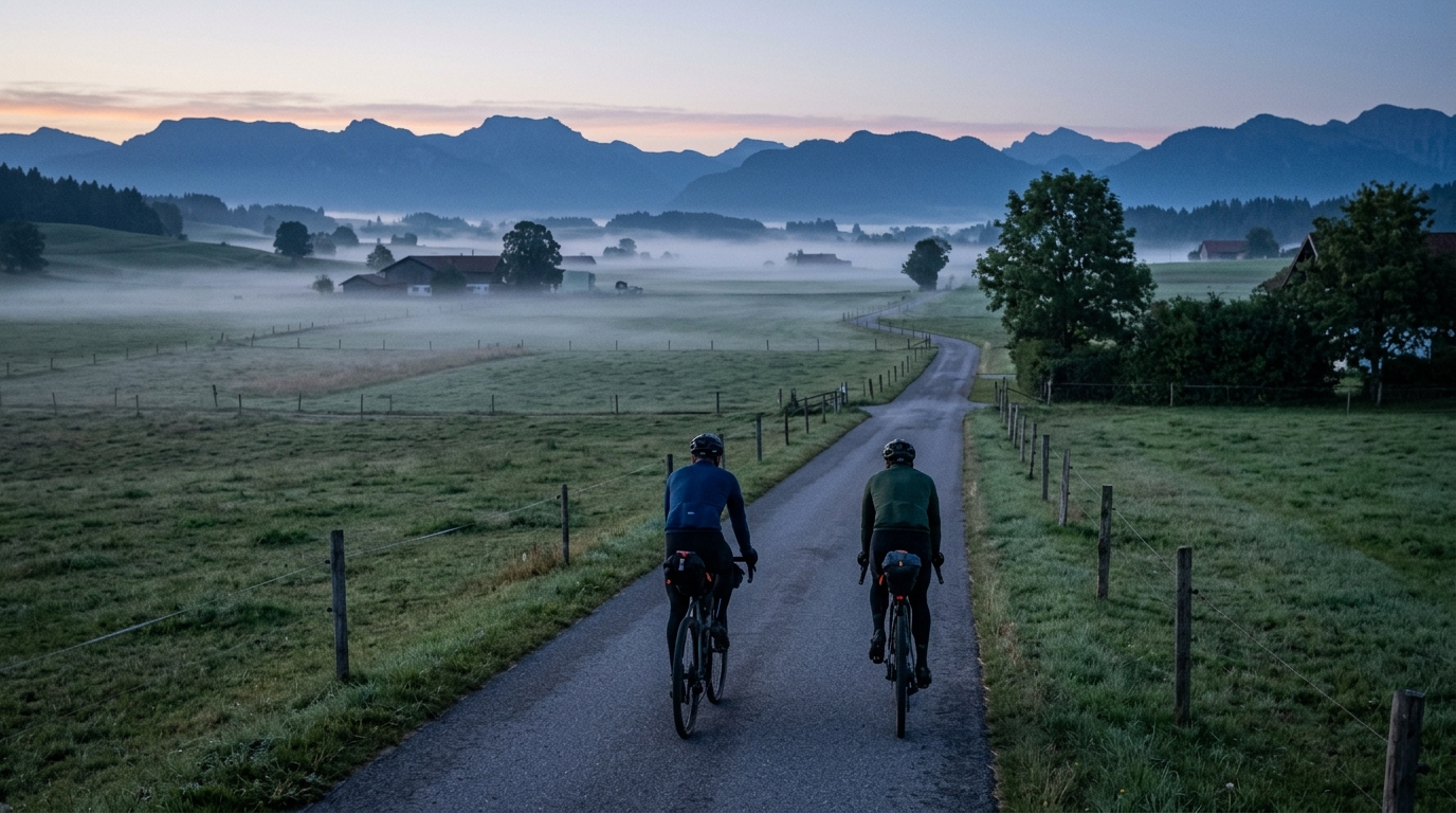
Schlossparkradrunde im Allgäu
A long asphalt route in the Allgäu: 297.5 km, 1,358 m of gain, and no listed signature climbs. Plan it as endurance first, climbing second.
- Distance
- 297.5km
- Climbing
- 1,358m
- Surface
- —
- Shape
- Point-to-point
The route
Elevation profile
Route character
The Schlossparkradrunde im Allgäu cycling route is best understood as a long endurance ride rather than a climbing objective. The headline number is the distance: 297.5 km. The elevation gain, at 1,358 m, is meaningful over a full day or multi-day effort, but the absence of listed notable climbs tells you the route is not shaped around one decisive ascent.
That changes the way the ride should be approached. Instead of saving everything for a named climb, the challenge is likely to come from duration, pacing discipline, and the accumulation of smaller rises. On a route this long, even moderate terrain becomes selective if the rider treats the early kilometres like free speed.
Terrain and surface
The listed surface is asphalt, which makes the route suitable for a road bike and keeps equipment choices straightforward. Fast tyres, reliable puncture protection, and a position you can hold comfortably for hours matter more here than anything exotic.
Because there are no notable climbs in the route data, expect the ride to reward steady pressure rather than repeated maximal efforts. This is the kind of profile where surges are expensive. A rider who keeps the effort controlled early will usually be stronger late, especially once fatigue turns minor changes in gradient into real resistance.
Pacing strategy
For a strong single-day ride, keep the first part deliberately conservative. The distance is long enough that small mistakes in fueling or intensity can compound. If you pace from power, anchor the ride below threshold and avoid chasing short accelerations unless the goal is training stress rather than completion. For reference, use /glossary/ftp to frame effort zones before the ride.
The most important tactical point is that the route is not listed as a loop. Do not assume an easy return to the start. Transport, accommodation, or a clear turnaround plan should be sorted before rolling out. That practical detail matters more here than on a short local circuit, because once the ride is underway the distance commitment is substantial.
Practical notes
- Distance: 297.5 km
- Elevation gain: 1,358 m
- Surface: asphalt
- Loop: no
- Listed notable climbs: none
This is a route for riders who want a long, controlled day on the bike rather than a climb-hunting itinerary. Treat it with respect, ride the opening phase under control, and let consistency do the work.
Related routes
3-Länder-Radweg
A 302.2 km asphalt route in Germany with 1512 m of climbing and point-to-point logistics shaped by the Reußenkreuz climb.
7 Peaks Alpine Challenge
A 110.9 km point-to-point assault through the Victorian Alps, stacking 3404 metres of climbing across relentless, wind-swept high-country ascents.
Aberdare Range
A 46 km asphalt point-to-point through Kenya's Central Highlands that trades big climbs for a relentless 1,700 m of rolling grind.
Abra Málaga
A 45-kilometer point-to-point ribbon of asphalt through Peru's Sacred Valley, climbing 1,699 relentless meters into the high Andes.
Afriski Mahlasela Pass
A 112.8 km asphalt ascent through the Maloti Mountains, climbing 3,384 m to the roof of southern Africa via the storied Mahlasela Pass.
Ahr Cycleway
An 82.9 km asphalt point-to-point route with 541 m of gain, the Ahr Cycleway is a steady endurance ride rather than a climb-focused day.