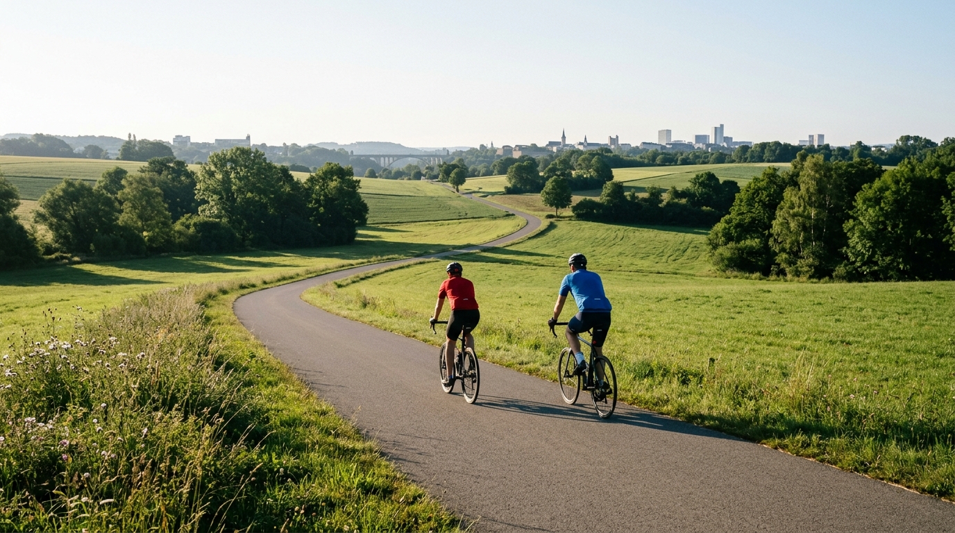
PC1 Cycle Route
A practical guide to the PC1 Cycle Route cycling route: 52 km on asphalt with 289 m of climbing and point-to-point logistics.
- Distance
- 52km
- Climbing
- 289m
- Surface
- —
- Shape
- Point-to-point
The route
Elevation profile
PC1 Cycle Route cycling route overview
The PC1 Cycle Route is a 52 km asphalt ride in LU with 289 m of elevation gain. On paper, that gives it a clear character: this is not a climbing-focused route, but it is also not a ride to treat as a pure flat spin. The elevation is spread lightly enough that the main challenge is likely to come from pacing, consistency, and route management rather than from any single decisive ascent.
The route is not a loop, which matters more than the climbing figure. A point-to-point ride changes the day before the pedalling starts. You need a plan for getting to the start, getting back from the finish, or linking the route into a longer ride. That logistical detail is the difference between a controlled endurance day and a ride that quietly becomes more complicated than the profile suggests.
Terrain and ride feel
With an asphalt surface and no notable climbs listed, the PC1 should suit riders looking for steady road rhythm. The 289 m of gain over 52 km points toward rolling or gently varied terrain rather than repeated steep climbing. That makes it a good fit for endurance pacing, tempo work, or a controlled social ride where the goal is to keep momentum instead of repeatedly resetting on climbs.
The absence of named climbs also shapes the tactical feel. There is no obvious single point where the ride has to be won or survived. Instead, the cost of the route is likely cumulative: small rises, changes in speed, and the discipline required to avoid turning an easy-looking day into a harder one through repeated accelerations.
If using the ride for training, keep the effort honest but capped. A steady aerobic ride or light tempo session makes more sense here than trying to manufacture a climbing workout. Riders using power can anchor the day around their /glossary/ftp and avoid over-riding the early kilometres simply because the profile does not look intimidating.
Practical notes
Plan the point-to-point logistics first. Because the PC1 Cycle Route is not a loop, decide whether the ride ends with transport, a return ride, or an added connection. That choice will define the real distance of the day.
A few simple checks will make the route cleaner:
- Use tyres appropriate for asphalt rather than mixed-surface riding.
- Carry enough food and fluid for the full 52 km unless you have confirmed stops separately.
- Pace the route as a steady endurance ride, not as a climb-based challenge.
- If adding a return leg, treat the total workload as a different ride, not just a small extension.
The PC1 Cycle Route is best understood as a controlled, accessible asphalt point-to-point ride. Its modest elevation gain keeps the physical demand manageable, but the non-loop format means the smartest riders will solve the logistics before they start chasing pace.
Related routes
3-Länder-Radweg
A 302.2 km asphalt route in Germany with 1512 m of climbing and point-to-point logistics shaped by the Reußenkreuz climb.
7 Peaks Alpine Challenge
A 110.9 km point-to-point assault through the Victorian Alps, stacking 3404 metres of climbing across relentless, wind-swept high-country ascents.
Aberdare Range
A 46 km asphalt point-to-point through Kenya's Central Highlands that trades big climbs for a relentless 1,700 m of rolling grind.
Abra Málaga
A 45-kilometer point-to-point ribbon of asphalt through Peru's Sacred Valley, climbing 1,699 relentless meters into the high Andes.
Afriski Mahlasela Pass
A 112.8 km asphalt ascent through the Maloti Mountains, climbing 3,384 m to the roof of southern Africa via the storied Mahlasela Pass.
Ahr Cycleway
An 82.9 km asphalt point-to-point route with 541 m of gain, the Ahr Cycleway is a steady endurance ride rather than a climb-focused day.