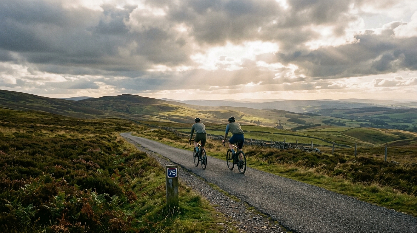
National Cycle Route 75
A practical guide to National Cycle Route 75, a 209 km asphalt point-to-point route in GB with 674 m of elevation gain.
- Distance
- 209km
- Climbing
- 674m
- Surface
- —
- Shape
- Point-to-point
The route
Elevation profile
National Cycle Route 75 cycling route overview
National Cycle Route 75 is a long point-to-point ride in GB, with 209 km of asphalt riding and 674 m of total elevation gain. That combination tells you a lot about the character of the route before looking at anything else: the challenge is less about surviving a signature climb and more about managing distance, pacing, position, and consistency over a long day or a carefully split ride.
Because the listed surface is asphalt and there are no notable climbs in the route data, this is the kind of route where momentum matters. The elevation gain is real, but spread across 209 km it should not define the ride in the same way a mountainous route would. Instead, fatigue will likely accumulate through time on the bike, repeated small rises, wind exposure, and the basic cost of holding a steady effort for several hours.
Terrain and ride character
The numbers point to an endurance route rather than a climbing test. With 674 m of gain across the full distance, National Cycle Route 75 should reward riders who stay disciplined early and avoid turning the first half into a series of unnecessary accelerations. Even on relatively modest terrain, repeated surges cost more than they appear to, especially once the ride length moves past the point where freshness can hide poor pacing.
The lack of listed notable climbs also changes the tactical feel. There is no obvious single point where the ride should be decided. Instead, the decisive factor is likely to be how well you control effort over the entire route. For riders using power, that means keeping the ride anchored around a sustainable endurance intensity rather than chasing short spikes. If you are setting zones, use a current benchmark like /glossary/ftp rather than guessing from feel alone.
Practical notes
Pacing
Treat the 209 km distance as the primary difficulty. Start easier than feels necessary, especially if riding the route in one push. The low total elevation gain can make the route look deceptively simple, but distance has its own load. A smooth aerobic effort will usually beat an aggressive start followed by long periods of damage control.
Equipment
The listed asphalt surface makes the route suitable for a road-focused setup. Since the route is point-to-point rather than a loop, logistics matter more than they would on a shorter circuit. Plan the start, finish, return travel, and any bail-out options before the ride rather than solving them late when fatigue is already part of the equation.
Fuel and effort management
On a route of this length, fueling is not optional background detail. The terrain profile may not force big climbing efforts, but the duration still demands regular intake and a steady rhythm. Keep the effort boring early, eat before you feel behind, and save any harder riding for the point where the remaining distance is clear.
Bottom line
National Cycle Route 75 is best understood as a long asphalt endurance route in GB: 209 km, point-to-point, with 674 m of elevation gain and no listed major climbs. The route should favor riders who can hold position, pace patiently, and stay consistent rather than those waiting for one decisive climb to shape the day.
Related routes
3-Länder-Radweg
A 302.2 km asphalt route in Germany with 1512 m of climbing and point-to-point logistics shaped by the Reußenkreuz climb.
7 Peaks Alpine Challenge
A 110.9 km point-to-point assault through the Victorian Alps, stacking 3404 metres of climbing across relentless, wind-swept high-country ascents.
Aberdare Range
A 46 km asphalt point-to-point through Kenya's Central Highlands that trades big climbs for a relentless 1,700 m of rolling grind.
Abra Málaga
A 45-kilometer point-to-point ribbon of asphalt through Peru's Sacred Valley, climbing 1,699 relentless meters into the high Andes.
Afriski Mahlasela Pass
A 112.8 km asphalt ascent through the Maloti Mountains, climbing 3,384 m to the roof of southern Africa via the storied Mahlasela Pass.
Ahr Cycleway
An 82.9 km asphalt point-to-point route with 541 m of gain, the Ahr Cycleway is a steady endurance ride rather than a climb-focused day.