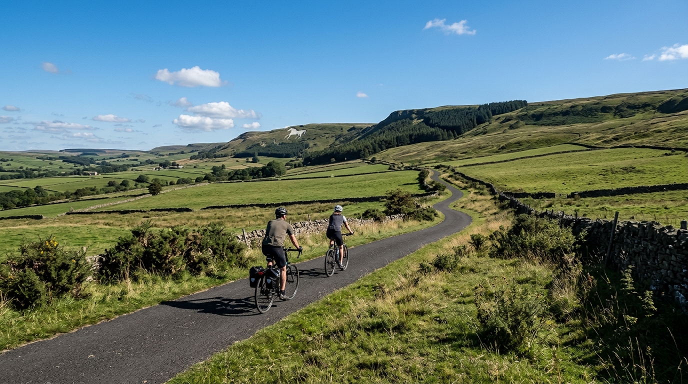
National Cycle Route 167
A practical guide to National Cycle Route 167, a 28.8 km asphalt point-to-point ride in GB with 191 m of elevation gain.
- Distance
- 28.8km
- Climbing
- 191m
- Surface
- —
- Shape
- Point-to-point
The route
Elevation profile
National Cycle Route 167 cycling route overview
National Cycle Route 167 is a 28.8 km point-to-point cycling route in GB, run entirely on asphalt and carrying 191 m of elevation gain. That combination gives the route a fairly controlled character: long enough to feel like a proper ride, but not shaped around a major climbing objective.
The key tactical detail is the non-loop format. This is not a ride where the logistics solve themselves at the finish. Before rolling out, decide whether the route is being used as a one-way transfer, an out-and-back extension, or a ride that needs a return plan. That matters more here than the climbing, because the elevation load is modest relative to the distance.
Terrain and ride feel
With no notable climbs listed and 191 m of gain across 28.8 km, the route should ride more like steady rolling terrain than a climb-led course. The effort will come from keeping momentum, managing small rises cleanly, and avoiding unnecessary surges rather than settling into one long ascent.
On asphalt, tyre choice can stay road-focused. A standard endurance road setup makes sense, especially if the goal is to keep the ride smooth and efficient rather than overbuild the bike for rough surfaces. The surface also makes pacing more predictable, since speed changes should be driven more by gradient and wind exposure than by loose or technical ground.
How to pace it
The best approach is controlled and economical. There is not enough elevation gain to justify riding it like a climbing test, but the distance is long enough that repeated accelerations can still turn it into a harder session than planned.
If using the route for endurance work, keep the early effort comfortably below threshold and let the road dictate small changes in pressure. Riders tracking power should avoid chasing speed over every rise. Staying smooth below /glossary/ftp will leave more useful work in the legs than turning each incline into a short interval.
Practical notes
- Distance: 28.8 km
- Elevation gain: 191 m
- Surface: asphalt
- Format: point-to-point, not a loop
- Notable climbs: none listed
The route is best treated as a clean road ride with logistical planning at either end. Its value is not in a single decisive climb, but in the steady accumulation of distance on asphalt with enough elevation change to keep the ride engaged.
Related routes
3-Länder-Radweg
A 302.2 km asphalt route in Germany with 1512 m of climbing and point-to-point logistics shaped by the Reußenkreuz climb.
7 Peaks Alpine Challenge
A 110.9 km point-to-point assault through the Victorian Alps, stacking 3404 metres of climbing across relentless, wind-swept high-country ascents.
Aberdare Range
A 46 km asphalt point-to-point through Kenya's Central Highlands that trades big climbs for a relentless 1,700 m of rolling grind.
Abra Málaga
A 45-kilometer point-to-point ribbon of asphalt through Peru's Sacred Valley, climbing 1,699 relentless meters into the high Andes.
Afriski Mahlasela Pass
A 112.8 km asphalt ascent through the Maloti Mountains, climbing 3,384 m to the roof of southern Africa via the storied Mahlasela Pass.
Ahr Cycleway
An 82.9 km asphalt point-to-point route with 541 m of gain, the Ahr Cycleway is a steady endurance ride rather than a climb-focused day.