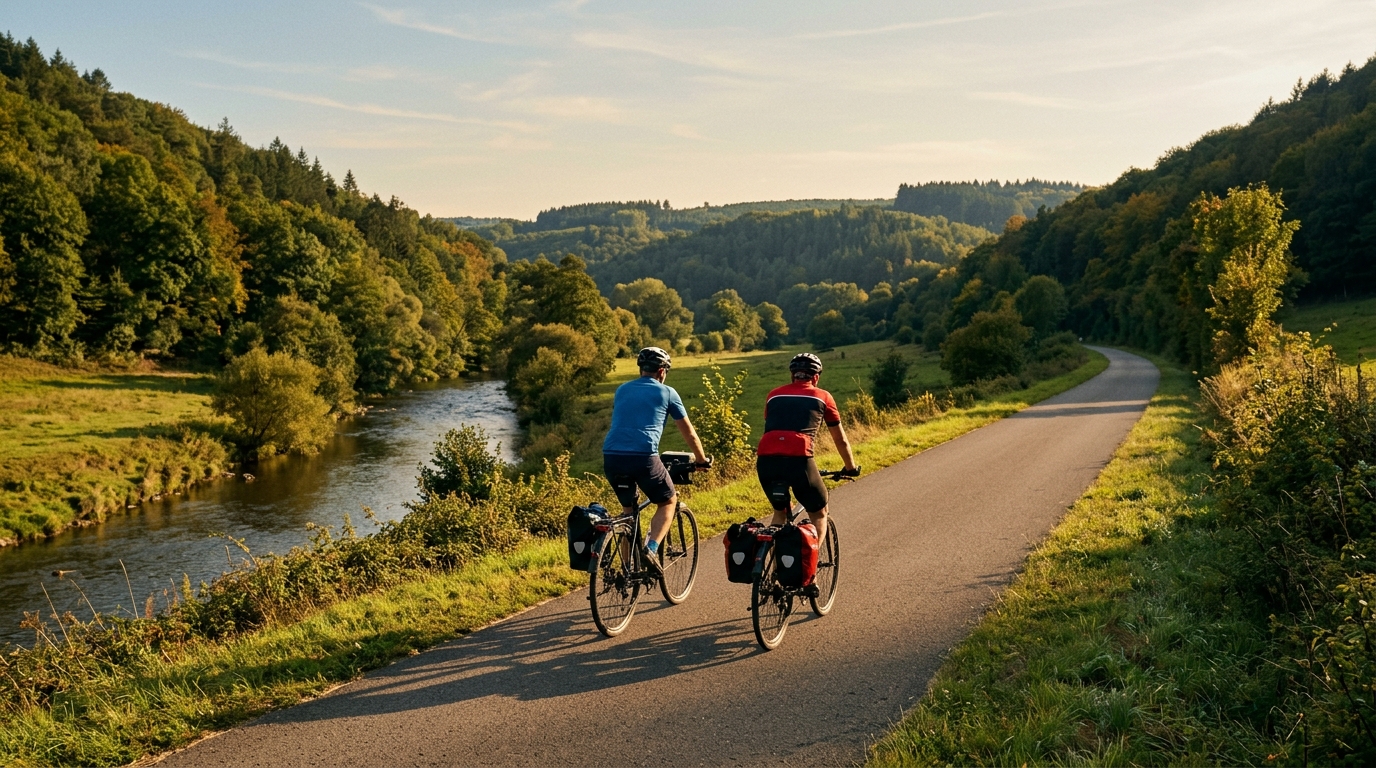
Kyll-Radweg
A practical guide to the Kyll-Radweg cycling route, with pacing, terrain, surface, and logistics notes based on its distance and elevation profile.
- Distance
- 123km
- Climbing
- 840m
- Surface
- —
- Shape
- Point-to-point
The route
Elevation profile
Kyll-Radweg cycling route overview
The Kyll-Radweg is a 123 km point-to-point cycling route in Germany, ridden entirely on asphalt and carrying 840 m of elevation gain. That combination gives it a very specific character: this is not a route defined by major climbs, but it is also not a free ride. The climbing is spread across the day rather than concentrated into a named ascent, which makes pacing more important than heroics.
With no notable climbs listed, the main demand is endurance consistency. Riders who treat it like a flat roll from the start can still find themselves paying later, because 840 m of gain over 123 km is enough to create repeated changes in rhythm. The route rewards steady pressure, clean fueling, and keeping the harder efforts under control rather than chasing every rise.
Terrain and ride feel
The asphalt surface makes the Kyll-Radweg well suited to a road bike, endurance bike, or fast all-road setup. There is no need to plan around rough-surface equipment based on the available route data. The practical priority is comfort over several hours: reliable tires, sensible gearing, and a position you can hold while still producing steady power.
Because the route is not a loop, logistics matter before fitness does. A point-to-point ride changes the day: transport at the finish, a return plan, or a deliberate out-and-back modification all need to be settled in advance. That is especially important on a 123 km route, where small delays and late-day fatigue can turn a simple transfer into the hardest part of the ride.
Pacing strategy
The best approach is to ride the Kyll-Radweg as an endurance route with controlled surges. If you train with power, anchor the day below threshold rather than letting short inclines pull you into repeated efforts above /glossary/ftp. The absence of a headline climb can be deceptive because there is no obvious place where the route declares itself difficult. Instead, the fatigue builds quietly through distance and accumulated elevation.
For stronger riders, this is the kind of route where the temptation is to push early because the profile does not look intimidating. That is usually the wrong read. The smart play is to keep the first part economical, fuel before hunger becomes obvious, and reserve sharper efforts for the back half if the legs are still responding.
Practical notes
- Surface: asphalt, so prioritize rolling efficiency and comfort.
- Distance: 123 km, long enough to require a fueling plan rather than casual snacking.
- Elevation gain: 840 m, moderate but meaningful over the full route.
- Format: not a loop, so sort return logistics before starting.
- Climbing profile: no notable climbs listed, which points toward repeated manageable elevation changes rather than one decisive ascent.
The Kyll-Radweg is best understood as a controlled endurance day. Its difficulty is not in any single feature, but in how distance, steady asphalt riding, and accumulated climbing interact. Ride it patiently and it should feel efficient. Ride it impatiently and the route has enough length to make that mistake visible.
Related routes
3-Länder-Radweg
A 302.2 km asphalt route in Germany with 1512 m of climbing and point-to-point logistics shaped by the Reußenkreuz climb.
7 Peaks Alpine Challenge
A 110.9 km point-to-point assault through the Victorian Alps, stacking 3404 metres of climbing across relentless, wind-swept high-country ascents.
Aberdare Range
A 46 km asphalt point-to-point through Kenya's Central Highlands that trades big climbs for a relentless 1,700 m of rolling grind.
Abra Málaga
A 45-kilometer point-to-point ribbon of asphalt through Peru's Sacred Valley, climbing 1,699 relentless meters into the high Andes.
Afriski Mahlasela Pass
A 112.8 km asphalt ascent through the Maloti Mountains, climbing 3,384 m to the roof of southern Africa via the storied Mahlasela Pass.
Ahr Cycleway
An 82.9 km asphalt point-to-point route with 541 m of gain, the Ahr Cycleway is a steady endurance ride rather than a climb-focused day.