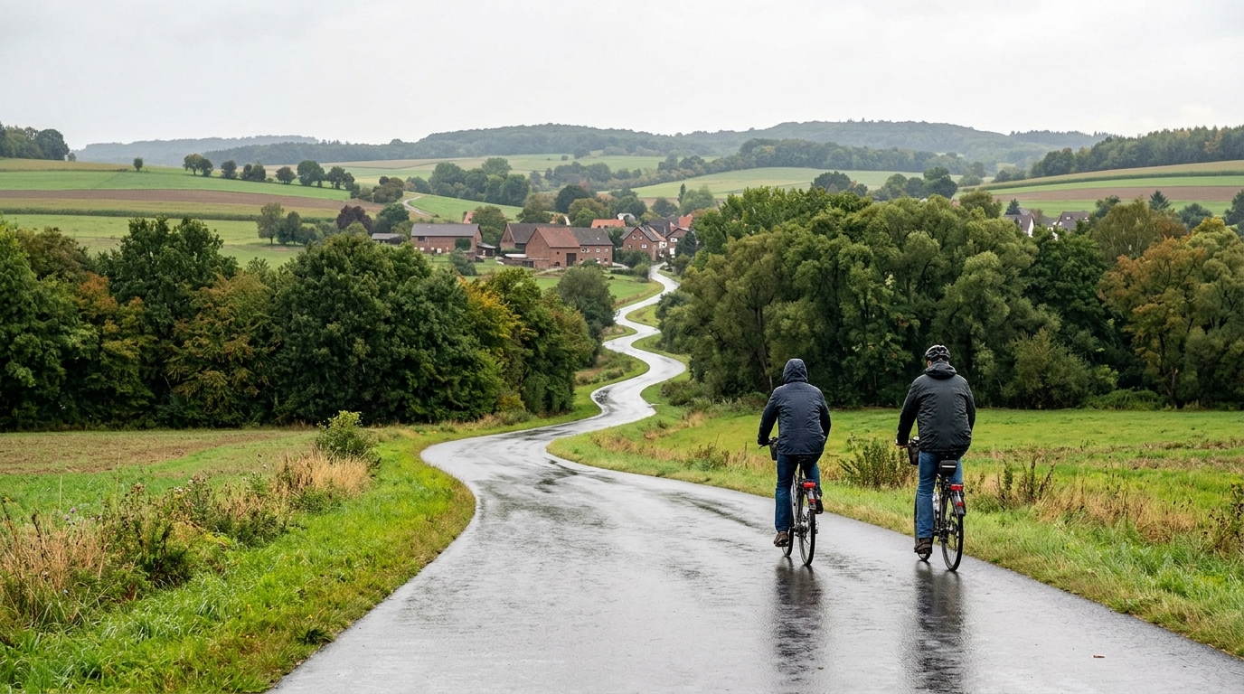
Korkenziehertrasse
A compact 13 km asphalt route with just 40 m of gain, best treated as a smooth point to point ride rather than a climbing test.
- Distance
- 13km
- Climbing
- 40m
- Surface
- —
- Shape
- Point-to-point
The route
Elevation profile
Route character
The Korkenziehertrasse cycling route is a compact asphalt ride with a simple profile: 13 km in distance and 40 m of elevation gain. Those two numbers define the experience. This is not a route built around a decisive climb, and with no notable climbs listed, the riding should be governed more by rhythm than by gradient management.
That matters because a route with this little total gain rewards smoothness. There is not much tactical value in forcing repeated accelerations, since the terrain does not appear to demand them. The better approach is to settle into a controlled cadence, keep the effort even, and let the route function as a clean aerobic ride rather than a climbing session.
Terrain and pacing
The asphalt surface makes the route straightforward from a bike choice perspective. A standard road setup is the natural fit, and there is no obvious need to gear specifically for climbing based on the listed elevation gain. The more useful decision is how hard to ride it.
For endurance work, keep the pressure consistent and avoid turning the short distance into a series of unnecessary surges. For a recovery ride, the limited climbing load should make it easy to stay relaxed as long as the effort remains deliberately restrained. If using power, this is the kind of route where staying below /glossary/ftp is less about surviving the terrain and more about discipline.
Because the route is 13 km, it is best viewed as a focused standalone spin, a connector, or part of a larger ride rather than a full endurance objective on its own. Its value is in efficiency: low elevation cost, predictable surface, and a profile that lets the rider choose the training stimulus.
Practical notes
This is not a loop, so the main planning point is logistics. Riders need to decide whether to arrange a return, reverse the route, or connect it with other roads or paths. That matters more here than pacing complexity, because the listed profile does not suggest any major terrain obstacles.
Expect the effort to feel accessible if ridden steadily. The route's low gain makes it suitable for easy mileage, controlled aerobic work, or a short ride where consistency matters more than climbing performance.
Related routes
3-Länder-Radweg
A 302.2 km asphalt route in Germany with 1512 m of climbing and point-to-point logistics shaped by the Reußenkreuz climb.
7 Peaks Alpine Challenge
A 110.9 km point-to-point assault through the Victorian Alps, stacking 3404 metres of climbing across relentless, wind-swept high-country ascents.
Aberdare Range
A 46 km asphalt point-to-point through Kenya's Central Highlands that trades big climbs for a relentless 1,700 m of rolling grind.
Abra Málaga
A 45-kilometer point-to-point ribbon of asphalt through Peru's Sacred Valley, climbing 1,699 relentless meters into the high Andes.
Afriski Mahlasela Pass
A 112.8 km asphalt ascent through the Maloti Mountains, climbing 3,384 m to the roof of southern Africa via the storied Mahlasela Pass.
Ahr Cycleway
An 82.9 km asphalt point-to-point route with 541 m of gain, the Ahr Cycleway is a steady endurance ride rather than a climb-focused day.