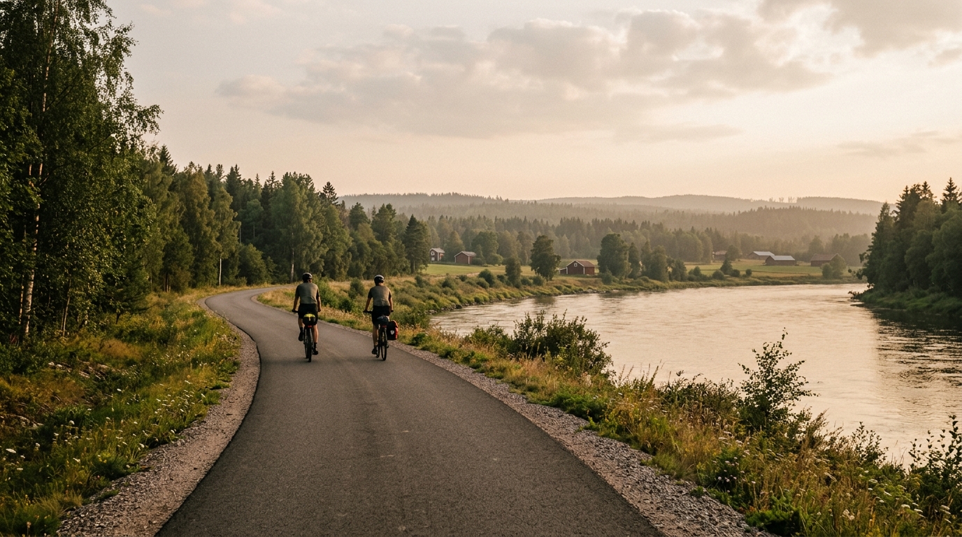
Klarälvsbanan
A practical guide to the Klarälvsbanan cycling route in Sweden: 83.7 km of asphalt with low elevation gain and point-to-point logistics.
- Distance
- 83.7km
- Climbing
- 179m
- Surface
- —
- Shape
- Point-to-point
The route
Elevation profile
Klarälvsbanan cycling route overview
Klarälvsbanan is an 83.7 km asphalt cycling route in Sweden with 179 m of elevation gain. On paper, that tells you almost everything about its character: this is not a climbing route, and it is not a punchy terrain-management exercise. It is a long, steady point-to-point ride where the main limiter is likely to be duration, pacing discipline, and how well you handle the practical side of a non-loop route.
The absence of notable climbs matters. Without major elevation features to break the ride into obvious sections, the effort can become deceptively uniform. That is good if the goal is controlled endurance work, tempo riding, or a low-variability day on the bike. It also means there are fewer natural reset points. If you ride too hard early, there is no climb to blame and no descent to recover on. The route rewards riders who settle into a sustainable rhythm and keep it there.
Terrain and ride feel
The surface is asphalt, so the defining challenge is not equipment choice for rough ground. A road bike is the natural fit, although any efficient bike set up for paved riding will suit the route. With 179 m of gain across 83.7 km, the terrain profile should feel controlled rather than selective. Expect momentum to matter more than climbing strength.
That low elevation gain changes the physiology of the ride. Instead of repeated surges, the demand is aerobic consistency. Riders using power should treat this as a chance to hold a steady endurance or tempo ceiling rather than chase speed spikes. If you are using heart rate or perceived effort, the key is to avoid letting the smooth surface and gentle terrain pull you above the effort you can repeat for the full distance. For pacing context, see /glossary/ftp.
Logistics and practical notes
Klarälvsbanan is not a loop, so the biggest planning point is what happens at the finish. Before starting, decide whether the ride is point-to-point only, whether you have transport arranged, or whether you are extending the day by returning the same way. That decision changes the ride from a manageable long paved route into a much larger endurance commitment.
Because there are no notable climbs listed, do not build the day around saving energy for a decisive uphill section. Fuel and drink steadily from the start instead. A route like this can make under-fuelling easy because the effort feels controlled, but the distance is still substantial enough that small mistakes compound late.
Who this route suits
Klarälvsbanan is best for riders who want uninterrupted paved distance without the tactical disruption of major climbs. It works well for endurance development, steady group riding, or a controlled solo day where pacing is the point. The route is not defined by dramatic gradients. It is defined by how efficiently you can cover 83.7 km of asphalt while keeping the effort even from start to finish.
Related routes
3-Länder-Radweg
A 302.2 km asphalt route in Germany with 1512 m of climbing and point-to-point logistics shaped by the Reußenkreuz climb.
7 Peaks Alpine Challenge
A 110.9 km point-to-point assault through the Victorian Alps, stacking 3404 metres of climbing across relentless, wind-swept high-country ascents.
Aberdare Range
A 46 km asphalt point-to-point through Kenya's Central Highlands that trades big climbs for a relentless 1,700 m of rolling grind.
Abra Málaga
A 45-kilometer point-to-point ribbon of asphalt through Peru's Sacred Valley, climbing 1,699 relentless meters into the high Andes.
Afriski Mahlasela Pass
A 112.8 km asphalt ascent through the Maloti Mountains, climbing 3,384 m to the roof of southern Africa via the storied Mahlasela Pass.
Ahr Cycleway
An 82.9 km asphalt point-to-point route with 541 m of gain, the Ahr Cycleway is a steady endurance ride rather than a climb-focused day.