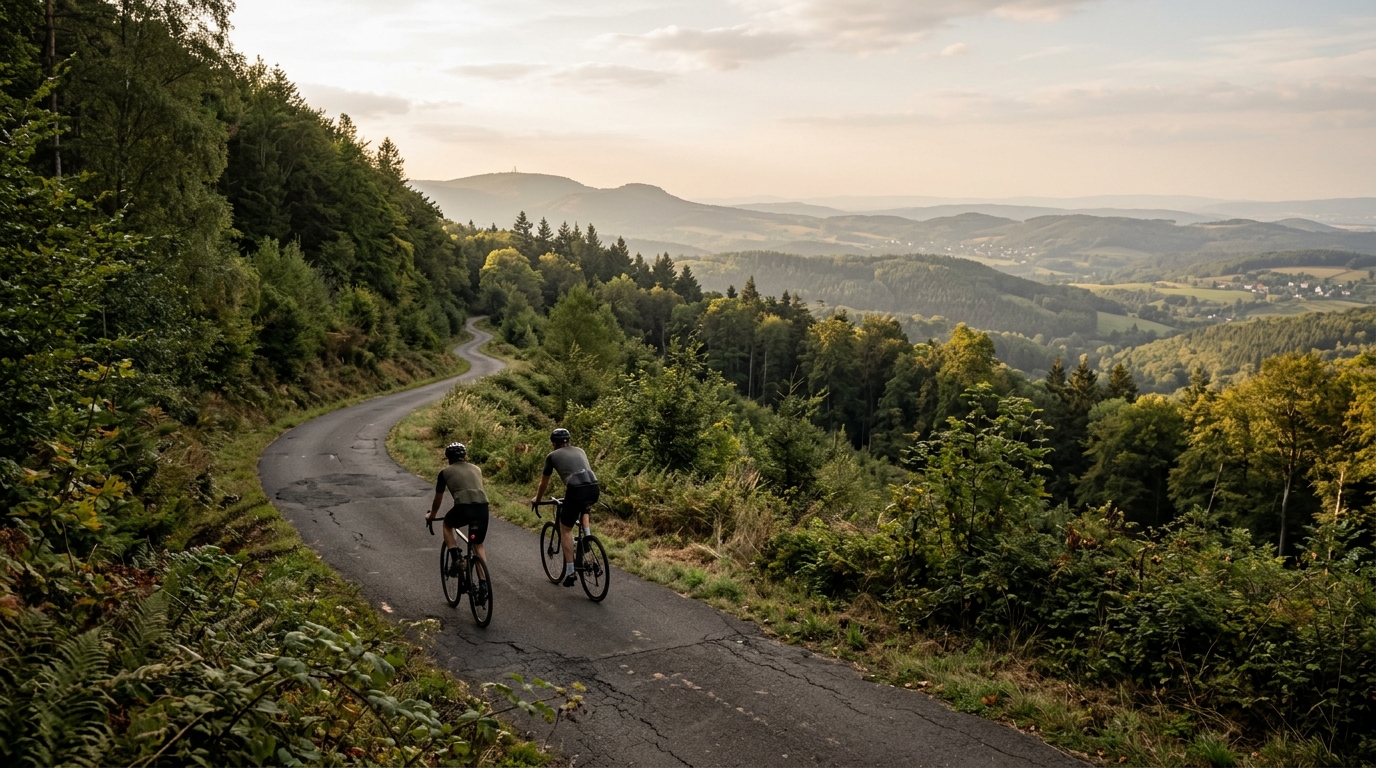
Hessian long-distance cycle route R2
A 203.5 km asphalt point-to-point route in DE, with 1101 m of elevation gain and Fuchstanz as the named climb to respect.
- Distance
- 203.5km
- Climbing
- 1,101m
- Surface
- —
- Shape
- Point-to-point
The route
Elevation profile
Hessian long-distance cycle route R2 cycling route
The Hessian long-distance cycle route R2 is a proper endurance ride rather than a short scenic spin. At 203.5 km, it asks for time, pacing discipline, and enough planning to keep the back half from turning into survival mode. The surface is asphalt, which gives the route a road-friendly character, but the distance still makes this a ride where comfort and consistency matter as much as outright speed.
The headline number is not just the distance. The route also carries 1101 m of elevation gain, which changes how it should be ridden. This is not defined by constant severe climbing, but it is not flat either. Over a route of this length, that amount of climbing tends to punish uneven pacing. Small rises, rolling terrain, and the named climb all compound if the first half is ridden too hard.
Terrain and ride character
The R2 is a non-loop route, so the logistics are part of the ride. You are committing to a point-to-point day, which means transport, start timing, and post-ride recovery need to be decided before rolling out. That matters more on a 203.5 km route than it does on a local loop, because there is less margin for improvisation once fatigue builds.
Fuchstanz is the notable climb in the route profile. Without needing to overstate it, its presence gives the ride a clear tactical feature: arrive there with enough reserve to climb efficiently rather than simply absorb the damage. On a long asphalt route, the best approach is usually to keep the early riding controlled, stay below the kind of effort that burns matches, and let the route come to you.
If you pace by power, this is a day to keep the majority of the ride comfortably under threshold rather than chasing every rise. Riders using /glossary/ftp as a reference should think in terms of repeatable endurance output, not isolated peak efforts.
Practical notes
- Surface: asphalt, so road-oriented tyres and gearing make sense.
- Format: point-to-point, not a loop, so plan transport at both ends.
- Distance: 203.5 km, long enough that fueling should start early rather than after fatigue appears.
- Elevation: 1101 m, enough to make pacing and gearing matter.
- Key feature: Fuchstanz, the named climb to treat with respect.
The route is best approached as a steady endurance project. The fastest and most enjoyable ride will usually come from restraint early, clean fueling, and a realistic plan for the final kilometres.
Related routes
3-Länder-Radweg
A 302.2 km asphalt route in Germany with 1512 m of climbing and point-to-point logistics shaped by the Reußenkreuz climb.
7 Peaks Alpine Challenge
A 110.9 km point-to-point assault through the Victorian Alps, stacking 3404 metres of climbing across relentless, wind-swept high-country ascents.
Aberdare Range
A 46 km asphalt point-to-point through Kenya's Central Highlands that trades big climbs for a relentless 1,700 m of rolling grind.
Abra Málaga
A 45-kilometer point-to-point ribbon of asphalt through Peru's Sacred Valley, climbing 1,699 relentless meters into the high Andes.
Afriski Mahlasela Pass
A 112.8 km asphalt ascent through the Maloti Mountains, climbing 3,384 m to the roof of southern Africa via the storied Mahlasela Pass.
Ahr Cycleway
An 82.9 km asphalt point-to-point route with 541 m of gain, the Ahr Cycleway is a steady endurance ride rather than a climb-focused day.