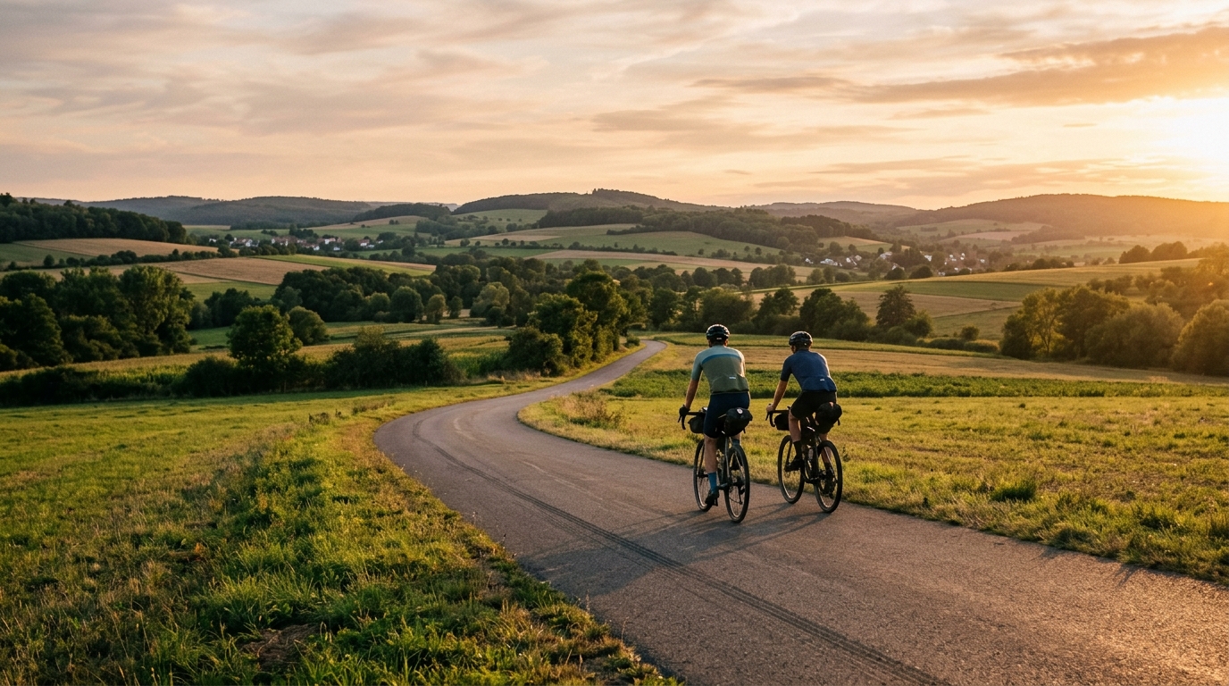
Hessian long-distance cycle route R1
A 316.5 km asphalt route in Germany with 1013 m of elevation gain, best approached as a steady point-to-point endurance ride.
- Distance
- 316.5km
- Climbing
- 1,013m
- Surface
- —
- Shape
- Point-to-point
The route
Elevation profile
Route character
The Hessian long-distance cycle route R1 cycling route is a 316.5 km asphalt ride in Germany with 1013 m of elevation gain. The headline is not a single decisive climb or a savage vertical profile. It is the scale of the distance, and the way that distance turns a relatively controlled elevation total into a real endurance problem.
Because the route is not a loop, the practical challenge starts before the riding does. You need a start and finish plan, not just a GPX file and a bottle. Transport, overnight stops, bail-out options, and how you will recover at the far end all matter more here than they would on a shorter circular ride.
Terrain and pacing
The surface is listed as asphalt, which gives the route a more predictable feel than mixed terrain. That does not make it easy. Over 316.5 km, small pacing errors compound. Riding too hard early, especially on rolling ground, will usually cost more than it gains.
With 1013 m of total elevation gain and no notable climbs listed in the context, this is better read as a long aerobic route than a climbing test. The correct approach is steady pressure, controlled surges, and disciplined fueling. If you are using power, keep the ride anchored below /glossary/ftp unless the goal is specifically to turn it into a hard training day. For most riders, the limiter will be durability rather than peak climbing ability.
What to expect
Expect a route that rewards consistency. The asphalt surface should help maintain rhythm, but the distance means comfort and contact points become performance variables. Saddle choice, hand position, tyre setup, and food access will shape the second half of the ride as much as fitness.
The absence of listed notable climbs also changes the tactical feel. There is less reason to save everything for one named ascent, and more reason to manage effort evenly across the whole route. That can be mentally harder, because there may not be a single obvious crux. The route asks whether you can keep making good decisions deep into a long day.
Practical notes
- Treat the non-loop layout as a logistics project, not an afterthought.
- Use the asphalt surface to your advantage by choosing efficient tyres and a position you can hold for hours.
- Plan fueling around time on the bike, not just distance remaining.
- Do not let the moderate total elevation number make the route feel casual. At 316.5 km, duration is the main load.
- If riding it over multiple days, keep the first section conservative so the later distance stays rideable rather than purely survivable.
Related routes
3-Länder-Radweg
A 302.2 km asphalt route in Germany with 1512 m of climbing and point-to-point logistics shaped by the Reußenkreuz climb.
7 Peaks Alpine Challenge
A 110.9 km point-to-point assault through the Victorian Alps, stacking 3404 metres of climbing across relentless, wind-swept high-country ascents.
Aberdare Range
A 46 km asphalt point-to-point through Kenya's Central Highlands that trades big climbs for a relentless 1,700 m of rolling grind.
Abra Málaga
A 45-kilometer point-to-point ribbon of asphalt through Peru's Sacred Valley, climbing 1,699 relentless meters into the high Andes.
Afriski Mahlasela Pass
A 112.8 km asphalt ascent through the Maloti Mountains, climbing 3,384 m to the roof of southern Africa via the storied Mahlasela Pass.
Ahr Cycleway
An 82.9 km asphalt point-to-point route with 541 m of gain, the Ahr Cycleway is a steady endurance ride rather than a climb-focused day.