Grüner Ring
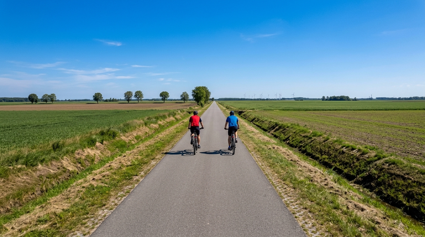
A flat, asphalt-heavy German route where the challenge is pacing, exposure, and consistency rather than climbing.
- Distance
- 112.3km
- Climbing
- 197m
- Surface
- —
- Shape
- Point-to-point
The route
Elevation profile
Grüner Ring cycling route overview
The Grüner Ring cycling route is a long, low-climbing ride in Germany, covering 112.3 km on asphalt with 197 m of elevation gain. That tells you most of what matters tactically before you clip in: this is not a route defined by decisive climbs, but by how well you manage steady pressure over distance.
With no notable climbs listed, the terrain should ride more like an endurance test than a climbing day. The lack of vertical gain does not make it easy by default. On a route this long, the limiter shifts from gradient to consistency. Small changes in wind, surface speed, junction rhythm, and fueling discipline become more important because there are few natural breaks where a climb or descent resets the effort.
Terrain and ride character
The asphalt surface makes this a road-bike-friendly option, and the low elevation gain should allow a smooth, even pacing strategy. Riders looking for repeated threshold efforts will need to create that structure themselves, because the route profile does not appear to impose it.
The best way to ride this is with controlled endurance pressure. Avoid treating the opening section like a short flat spin. Over 112.3 km, a slightly over-enthusiastic first phase can still show up late, especially if the route is exposed or if the wind is doing the work the climbs are not.
Because the route is marked as not a loop, planning matters more than the name might suggest. Do not assume you will finish where you started. Check your start and finish logistics before rolling out, especially if you are relying on public transport, a pickup, or a planned return ride.
Pacing and practical notes
For endurance athletes, the Grüner Ring is well suited to aerobic volume, steady tempo blocks, or equipment testing in conditions where climbing variability is limited. It is the kind of course where /glossary/ftp discipline helps: holding back early often produces a better ride than chasing speed from the start.
Practical priorities:
- Plan the point-to-point logistics before the ride.
- Fuel as if it is a long ride, not an easy flat spin.
- Use the asphalt surface to settle into a consistent cadence and position.
- Expect the difficulty to come from duration and exposure rather than gradients.
- If using it for training, set effort targets in advance rather than waiting for the terrain to dictate them.
Who it suits
This route suits riders who want distance without a major climbing load. It is a good fit for endurance conditioning, base training, and steady aerobic work. Climbers looking for elevation will likely find it too flat, but riders who understand that flat routes reward patience, fueling, and aerodynamic discipline can get a lot from it.
Related routes
3-Länder-Radweg
A 302.2 km asphalt route in Germany with 1512 m of climbing and point-to-point logistics shaped by the Reußenkreuz climb.
7 Peaks Alpine Challenge
A 110.9 km point-to-point assault through the Victorian Alps, stacking 3404 metres of climbing across relentless, wind-swept high-country ascents.
Aberdare Range
A 46 km asphalt point-to-point through Kenya's Central Highlands that trades big climbs for a relentless 1,700 m of rolling grind.
Abra Málaga
A 45-kilometer point-to-point ribbon of asphalt through Peru's Sacred Valley, climbing 1,699 relentless meters into the high Andes.
Afriski Mahlasela Pass
A 112.8 km asphalt ascent through the Maloti Mountains, climbing 3,384 m to the roof of southern Africa via the storied Mahlasela Pass.
Ahr Cycleway
An 82.9 km asphalt point-to-point route with 541 m of gain, the Ahr Cycleway is a steady endurance ride rather than a climb-focused day.