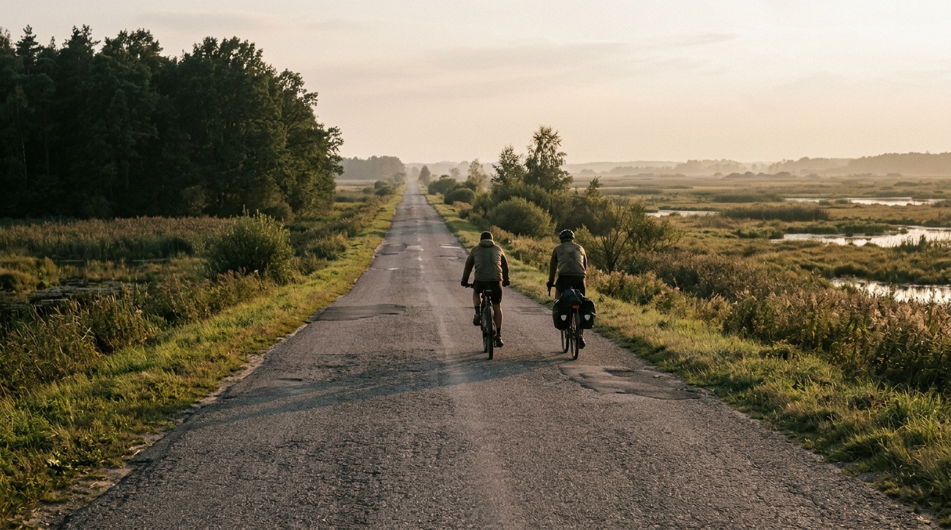
From Knyszyn Forest to the Biebrza Valley
A 28.4 km asphalt point-to-point ride with 129 m of elevation gain, linking Knyszyn Forest with the Biebrza Valley without any listed major climbs.
- Distance
- 28.4km
- Climbing
- 129m
- Surface
- —
- Shape
- Point-to-point
The route
Elevation profile
Route character
The From Knyszyn Forest to the Biebrza Valley cycling route is a short, point-to-point asphalt ride covering 28.4 km with 129 m of elevation gain. On paper, that makes it a controlled, accessible route rather than a climbing test. There are no notable climbs listed, so the ride should feel defined by steady forward momentum, small changes in terrain, and how consistently you can hold your rhythm rather than by any single decisive ascent.
That low total elevation gain matters tactically. Instead of saving energy for one obvious climb, the better approach is to ride evenly from the start. A route like this rewards smooth pacing because there is little structural reason to surge and recover. If you go too hard early, there may not be a long descent or major terrain shift to reset the effort.
Terrain and pacing
The surface is asphalt, which keeps the equipment choice simple. A standard road setup is the natural fit, with attention on comfort and efficiency rather than off-road durability. Because the route is not a loop, the main practical factor is logistics: plan transport, a pickup, or a return ride before starting.
With 129 m of gain over 28.4 km, the climbing load is modest. That does not mean the ride is automatically easy, only that difficulty is more likely to come from pace, consistency, conditions on the day, and how much intensity you choose to add. For endurance riders, it works well as a steady aerobic outing. For stronger riders, it can become a controlled tempo session where the goal is to avoid unnecessary spikes above target effort.
If riding by power, keep the effort stable rather than chasing every small rise. Using /glossary/ftp as an anchor can help turn the route into a clean pacing exercise: stay below threshold if the aim is endurance, or hold a tighter tempo if the session calls for sustained pressure.
Practical notes
- Distance: 28.4 km
- Elevation gain: 129 m
- Surface: asphalt
- Route type: point-to-point, not a loop
- Listed notable climbs: none
The key is not to overcomplicate the ride. Treat it as a direct asphalt connection from Knyszyn Forest toward the Biebrza Valley, with enough elevation change to keep the pedals honest but not enough to make climbing the central story.
Related routes
3-Länder-Radweg
A 302.2 km asphalt route in Germany with 1512 m of climbing and point-to-point logistics shaped by the Reußenkreuz climb.
7 Peaks Alpine Challenge
A 110.9 km point-to-point assault through the Victorian Alps, stacking 3404 metres of climbing across relentless, wind-swept high-country ascents.
Aberdare Range
A 46 km asphalt point-to-point through Kenya's Central Highlands that trades big climbs for a relentless 1,700 m of rolling grind.
Abra Málaga
A 45-kilometer point-to-point ribbon of asphalt through Peru's Sacred Valley, climbing 1,699 relentless meters into the high Andes.
Afriski Mahlasela Pass
A 112.8 km asphalt ascent through the Maloti Mountains, climbing 3,384 m to the roof of southern Africa via the storied Mahlasela Pass.
Ahr Cycleway
An 82.9 km asphalt point-to-point route with 541 m of gain, the Ahr Cycleway is a steady endurance ride rather than a climb-focused day.