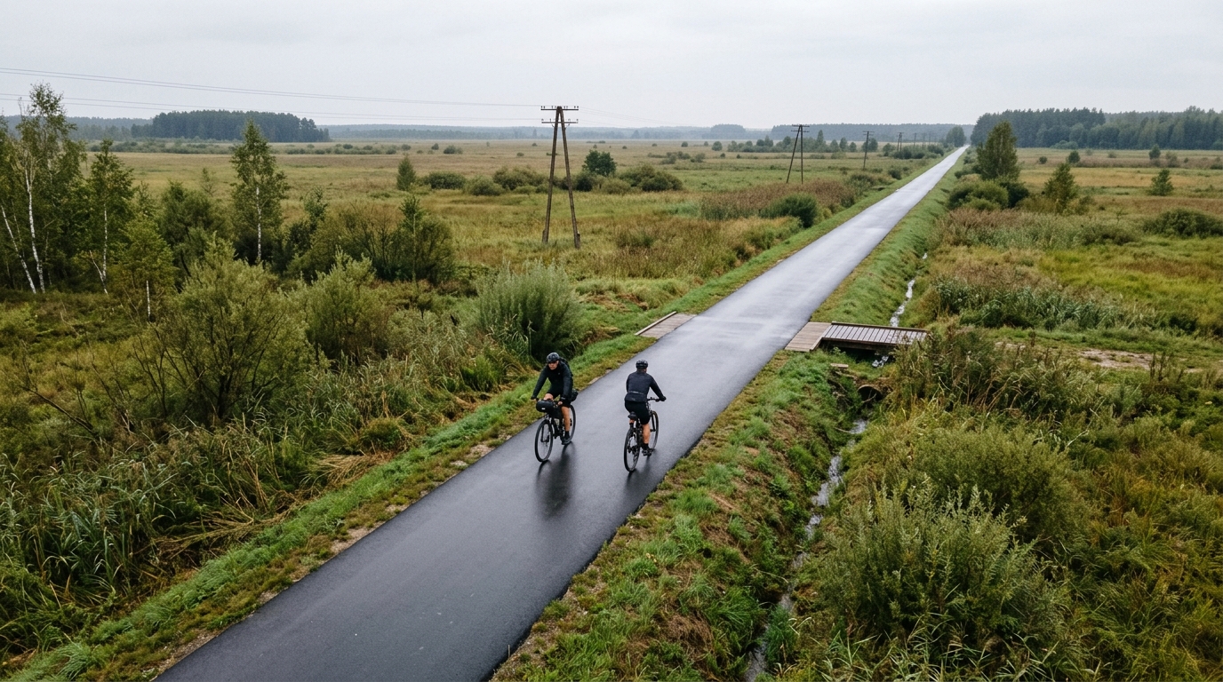
Bicycle Trail of the former Borderland
An 11.7 km asphalt point-to-point route in PL with just 30 m of elevation gain, built more for steady riding than climbing.
- Distance
- 11.7km
- Climbing
- 30m
- Surface
- —
- Shape
- Point-to-point
The route
Elevation profile
Route character
The Bicycle Trail of the former Borderland cycling route is a compact asphalt ride in PL, covering 11.7 km with 30 m of elevation gain. On paper, that tells you almost everything important about its riding character: this is not a route defined by climbing, selective terrain, or repeated changes in rhythm. It is a short point-to-point effort where the main value is in smooth progression and simple pacing.
Because the listed surface is asphalt and there are no notable climbs, expect the ride to reward consistency rather than force. The low elevation gain means the route should feel controlled for most riders, with effort shaped more by speed, wind, stops, and how hard you choose to ride than by the profile itself. If you are using it for training, it fits best as an easy endurance spin, a recovery ride, or a low-stress connector rather than a session built around climbing power or threshold work. For pacing concepts, see /glossary/ftp, but this is the kind of route where restraint matters more than numbers.
Terrain and effort
The terrain is best understood as gently rolling to nearly flat based on the total gain across the distance. With only 30 m of climbing over 11.7 km, there is little reason to expect sustained uphill pressure or any major need to manage gradients. That makes it approachable, but it also means there are fewer natural breaks in the effort. If you ride it hard, the challenge will come from holding speed on the asphalt, not from surviving a climb.
That flat-to-gentle profile also changes the tactical feel. On hillier rides, the terrain dictates when to ease off and when to push. Here, the rider has to make those decisions. Keep the first part smooth, avoid surging unnecessarily, and let the route stay economical unless the goal is specifically to add intensity.
Practical notes
The key planning point is that this is not a loop. Since the route is point-to-point, sort the return before rolling out: ride back the same way, arrange transport, or link it with another route. That logistics piece matters more than the physical difficulty.
The asphalt surface should make bike choice straightforward. A road bike, endurance bike, hybrid, or any efficient paved-surface setup makes sense. With the distance limited to 11.7 km, the ride does not demand a heavy fuelling strategy, but basic preparation still applies: carry water, check your route, and do not assume the short profile removes the need for a clear finish plan.
In simple terms, this is a low-climbing asphalt point-to-point route. Ride it for flow, accessibility, and steady movement rather than for a decisive physical test.
Related routes
3-Länder-Radweg
A 302.2 km asphalt route in Germany with 1512 m of climbing and point-to-point logistics shaped by the Reußenkreuz climb.
7 Peaks Alpine Challenge
A 110.9 km point-to-point assault through the Victorian Alps, stacking 3404 metres of climbing across relentless, wind-swept high-country ascents.
Aberdare Range
A 46 km asphalt point-to-point through Kenya's Central Highlands that trades big climbs for a relentless 1,700 m of rolling grind.
Abra Málaga
A 45-kilometer point-to-point ribbon of asphalt through Peru's Sacred Valley, climbing 1,699 relentless meters into the high Andes.
Afriski Mahlasela Pass
A 112.8 km asphalt ascent through the Maloti Mountains, climbing 3,384 m to the roof of southern Africa via the storied Mahlasela Pass.
Ahr Cycleway
An 82.9 km asphalt point-to-point route with 541 m of gain, the Ahr Cycleway is a steady endurance ride rather than a climb-focused day.