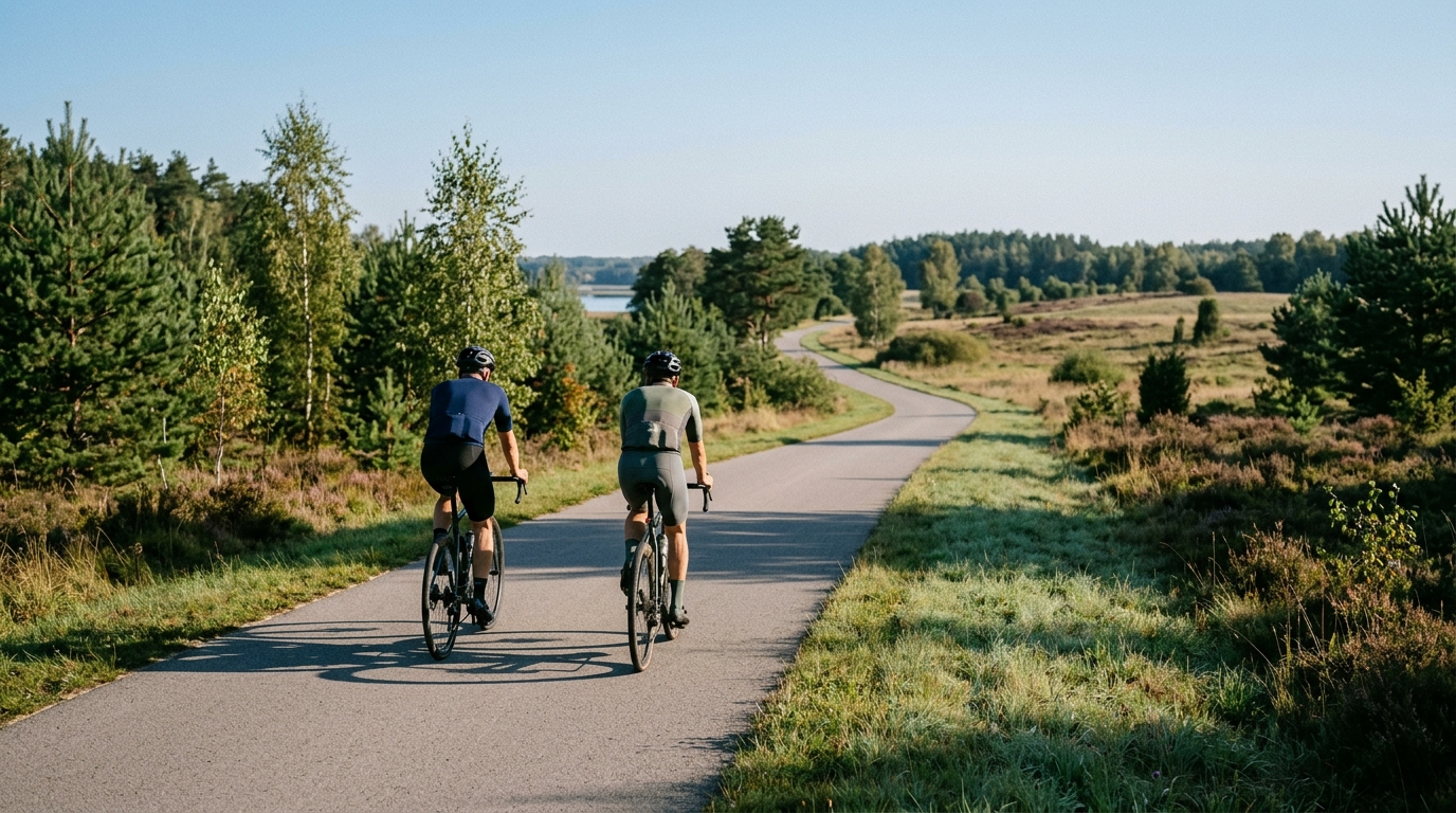
Antoni Patla “Around Wigry” Cycle Route
A 45.6 km asphalt loop with 193 m of elevation gain, built for steady pacing rather than climbing fireworks.
- Distance
- 45.6km
- Climbing
- 193m
- Surface
- —
- Shape
- Loop
The route
Elevation profile
Route character
The Antoni Patla 'Around Wigry' Cycle Route cycling route is a 45.6 km asphalt loop in Poland with 193 m of elevation gain. That combination tells you most of what matters before you roll out: this is not a day defined by major climbs, but by rhythm, pacing, and how well you manage a route that keeps moving without ever becoming a pure mountain test.
Because it is a loop, the ride has a natural tactical shape. There is no out-and-back reset, and no need to mentally split the route into a simple outward leg and return leg. Instead, it rewards a steady approach from the start. Go too hard early and the modest climbing load can still become noticeable late, not because the route is severe, but because repeated changes in pressure add up when you never fully switch off.
Terrain and pacing
The listed surface is asphalt, so the route suits a road bike, endurance bike, or any efficient setup built around smooth rolling rather than mixed-surface compromise. With 193 m of elevation gain across 45.6 km and no notable climbs listed, the profile points toward a controlled endurance ride rather than a climbing-specific session.
That does not mean it should be treated as a free ride. Low elevation gain can tempt riders into riding above target because there is no obvious climb forcing discipline. The smarter play is to keep the effort even, especially if using power or heart rate. On a route like this, the limiter is often accumulated tempo pressure rather than one decisive ascent. If you are riding by power, anchor the day around sustainable endurance work rather than chasing every rise. For reference, see /glossary/ftp if you are setting zones from threshold.
What to expect
Expect a ride where efficiency matters more than gearing bravado. There are no notable climbs in the route data, so the best setup is one that lets you stay comfortable and consistent over the full loop. Cadence stability, smooth corner exits, and avoiding unnecessary surges will likely matter more than having an ultra-low climbing gear.
The distance also makes the route flexible. It can work as a standalone endurance ride, a controlled aerobic day, or a sharper tempo session if ridden with intent. The key is deciding that purpose before the start. A 45.6 km loop can be easy if ridden patiently, or surprisingly costly if every small change in terrain becomes an acceleration.
Practical notes
- Surface: asphalt, so prioritize rolling efficiency and comfort.
- Format: loop, which simplifies logistics and keeps the ride mentally continuous.
- Climbing load: 193 m, with no notable climbs listed.
- Best use: steady endurance, aerobic conditioning, or controlled tempo work.
The main mistake would be over-framing this as a sightseeing spin or underestimating it because the elevation gain is modest. The route is best understood as a clean, compact asphalt loop where the quality of the ride comes from holding a disciplined effort from start to finish.
Related routes
3-Länder-Radweg
A 302.2 km asphalt route in Germany with 1512 m of climbing and point-to-point logistics shaped by the Reußenkreuz climb.
7 Peaks Alpine Challenge
A 110.9 km point-to-point assault through the Victorian Alps, stacking 3404 metres of climbing across relentless, wind-swept high-country ascents.
Aberdare Range
A 46 km asphalt point-to-point through Kenya's Central Highlands that trades big climbs for a relentless 1,700 m of rolling grind.
Abra Málaga
A 45-kilometer point-to-point ribbon of asphalt through Peru's Sacred Valley, climbing 1,699 relentless meters into the high Andes.
Afriski Mahlasela Pass
A 112.8 km asphalt ascent through the Maloti Mountains, climbing 3,384 m to the roof of southern Africa via the storied Mahlasela Pass.
Ahr Cycleway
An 82.9 km asphalt point-to-point route with 541 m of gain, the Ahr Cycleway is a steady endurance ride rather than a climb-focused day.