Old La Honda + Skyline loop
The classic Silicon Valley three-hour loop - Old La Honda up, Skyline Boulevard south, Highway 84 descent.
- Distance
- 60km
- Climbing
- 1,100m
- Surface
- Road
- Shape
- Loop
The route
Elevation profile
What it is
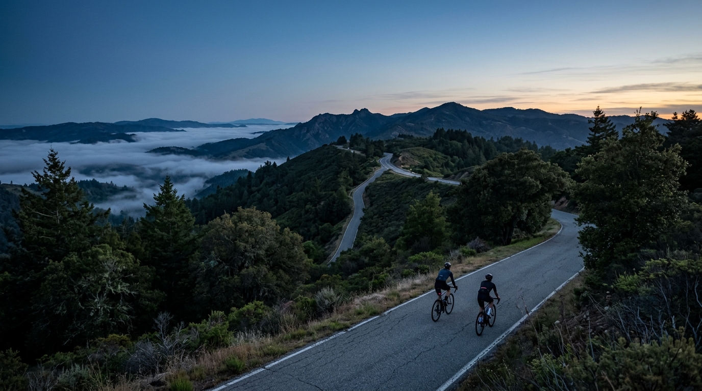
The Old La Honda + Skyline loop is the default after-work or Saturday-morning ride for cyclists living on the San Francisco peninsula. The classic version starts in Woodside or Portola Valley, climbs Old La Honda Road to Skyline Boulevard, traverses Skyline south for 10 to 15 km, and descends back via Highway 84 (West Old La Honda or Page Mill, depending on the variant).
Terrain
The loop covers roughly 60 km with 1100 m of climbing. The Old La Honda climb is the centrepiece - 5.5 km at 7.3 percent. Skyline Boulevard runs along the ridge of the Santa Cruz Mountains at 600 m elevation; the road undulates with redwood-shaded corners. Highway 84 descending toward La Honda offers fast cornering on smooth tarmac.
History
This loop has no formal history - it is the de facto local ride of the Stanford and Silicon Valley cycling community. Nearly every road racer who has lived in the Bay Area in the past 30 years has logged hundreds of laps on this circuit. The Strava heatmap of the peninsula is essentially a heatmap of this loop.
Tips
Best done in the morning, when Skyline traffic is light. Refuel at Alice's Restaurant at the Skyline/Highway 84 junction - coffee, pancakes, and a crucial social hub of Bay Area cycling. The Pescadero variant extends the loop to the coast and back via Stage Road (adds 40 km).
Best time
Year-round. Winters are wet (December to March); summer mornings are foggy until 11 a.m. but warm above the ridge. Avoid Skyline on weekend afternoons when motorcycle traffic spikes.
Related routes
Death Ride (Tour of the California Alps)
An 84.4 km high-country loop over the pavement of Ebbetts Pass and Monitor Pass, packing 2031 m of climbing into one relentless Sierra circuit.
Death Ride - Tour of the California Alps
Markleeville's famous five-pass century — 206 km and 4570 m of climbing through the eastern Sierra Nevada.