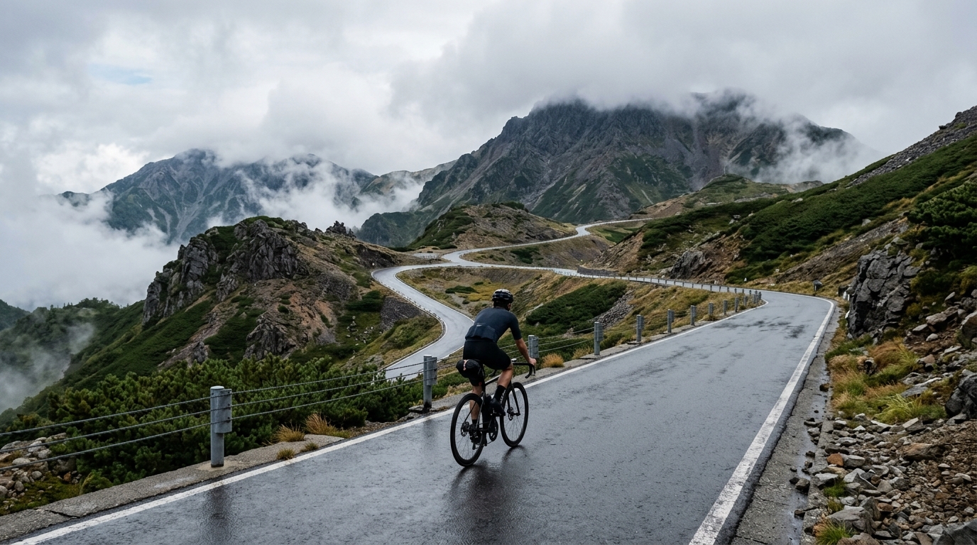
Norikura Skyline
A 24 km point-to-point ascent through the Japan Alps that trades 1441 m of vertical for some of the highest paved cycling in the country.
- Distance
- 24km
- Climbing
- 1,441m
- Surface
- Asphalt
- Shape
- Point-to-point
The route
Elevation profile
Overview
The Norikura Skyline is one of Japan's most revered high-mountain roads, a 24 km point-to-point ribbon of asphalt that lifts riders deep into the Japan Alps. Over its length it gathers 1441 m of climbing, a figure that tells the whole story: this is a route built almost entirely on ascent, a sustained march skyward rather than a rolling tour. For cyclists, it is a rite of passage — a chance to test legs and lungs against pure, relentless altitude on some of the highest sealed road accessible by bike in the country.
What makes it iconic is not a single wall or a famous switchback, but the character of the whole climb: continuous, uncompromising, and set against the raw alpine grandeur of the Japan Alps. Closed to private cars, it belongs to those who arrive under their own power.
The Route
The Skyline runs 24 km from start to finish as a point-to-point line — you climb up one side and, unlike a loop, you do not return the way logistics might otherwise dictate. The route's defining trait is its gradient budget: 1441 m of vertical gain spread across 24 km means the road is almost always tilting upward. There are no long flat reprieves to hide behind; the effort is measured, patient, and cumulative.
Because it is a single directional route, riders can commit fully to the ascent, pacing themselves against the clock and the thinning air rather than juggling terrain changes. The reward is a summit experience earned meter by meter, with the valley falling away behind and the high peaks of the Japan Alps rising ahead.
Key Climbs
This route has no individually catalogued climbs — and that absence is itself the point. The Norikura Skyline is not a road defined by a handful of named ramps or lettered cols; it is one long, coherent climb from bottom to top. Its defining feature is sustained ascent: 1441 m gained across 24 km, delivered as a single continuous effort rather than broken into discrete challenges.
That makes it a climber's route in the purest sense. There is no sprint for a mid-route summit, no recovery descent between efforts. The whole 24 km is the climb. Riders who thrive here are those who can settle into a rhythm and hold it, letting the altitude do the work of separating the field. The mountain rewards patience, steady power, and the willingness to keep turning the pedals long after the legs would prefer to stop.
Terrain & Surface
The entire route is paved in asphalt, giving a smooth, predictable surface underfoot for all 24 km. There is no gravel, no cobbles, and no rough sectors to contend with — just consistent tarmac that lets riders focus entirely on the gradient and their own effort. The clean surface makes tyre choice and equipment simple: this is a road-bike route, plain and true.
Smooth asphalt on a climb of this length is a genuine advantage. Every watt goes into forward progress rather than fighting a broken road, and the quality of the surface means the challenge comes purely from the 1441 m of vertical the mountain asks of you.
When to Ride
The Norikura Skyline is a high-altitude alpine road, so the riding window is dictated by the mountain's seasons. The road is best tackled in the warmer months, when the pass is open and the high slopes are clear. Because so much of the route sits at elevation, conditions at the top can differ sharply from those at the base — riders should carry a layer for the summit even on warm days, as the thinning air and altitude bring a cooler edge.
Aim for settled weather. A long, exposed climb rewards a clear day, both for the effort and for the panoramic views across the Japan Alps that make the Skyline so memorable.
Logistics
Plan around the point-to-point nature of the route: 24 km up does not automatically bring you back to your start. Riders should arrange their descent, transfer, or onward transport in advance, and time their attempt to fit the mountain's open season. Pack for altitude — food, water, and an extra layer for the summit — since the upper reaches are remote and cold compared with the valley floor.
Summary
The Norikura Skyline distils cycling to its essence: 24 km, 1441 m of climbing, and a smooth asphalt road that climbs from valley to sky. With no discrete climbs to break it up, the whole route is the challenge — a single sustained ascent through the Japan Alps that stands as one of Japan's definitive high-mountain rides.